Paddling in Parque Nacional da Serra do Itajaí
- National Park
- Lakes
- 0
- Rivers
- 21
- Access
- 0
- Boat Ramps
- 0
- Shops
- 0
The rivers inside Parque Nacional da Serra do Itajaí are born here. The park sits entirely within the Vale do Itajaí in Santa Catarina, covering 57,374 hectares of Atlantic Forest across nine municipalities — Blumenau, Indaial, Apiúna, and six others.
The terrain is steep and forested, and virtually everywhere you walk inside the park, you cross a stream or hear one. Most of those streams run over rock, which is reflected in local place names and in the character of the water itself.
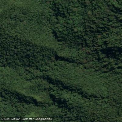
The Ribeirão Agrião is among the named waters inside the park.
Like most of the watercourses here, it originates within the protected area and runs clear over stone — the kind of water that draws local families for swimming and that rewards anyone willing to read the gradient carefully.
The Cachoeira do Zinco, Cachoeira do Encano, and Cachoeira do Ribeirão Liso are significant features, which tells you something about the energy these rivers carry before they flatten out downstream.
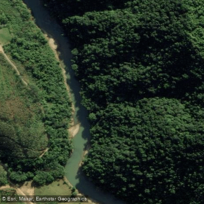
The broader watershed feeds the Rio Itajaí-Açu, which gathers volume well outside the park boundary.
Paddling events on the Itajaí-Açu, including organized canoeing gatherings, happen downstream of the park — the river there has the size and flow that organized paddling requires. Inside the park, the picture is different.
This is a strict protection unit (IUCN Category II), administered by ICMBio, and that classification shapes what is and isn't permitted on the water.
The park has been formally closed to general visitation for much of its existence, though local use of the rivers has continued.
Before any paddling trip inside the boundary, contact ICMBio or the local partner organizations — IPAN in the Blumenau sector and ASSEPAVI in the Guabiruba sector — to understand current access conditions and any permits required.
The rivers here are headwaters. Treat them accordingly.
Top waters to paddle near Parque Nacional Da Serra Do Itajai
Ribeirão Agrião
Rio Itajaí-Mirim
Rio Garcia
Ribeirão Warnow
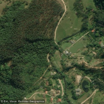
Ribeirão Jundiá
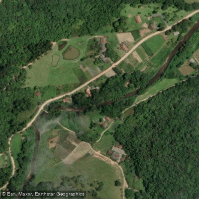
Ribeirão do Quati
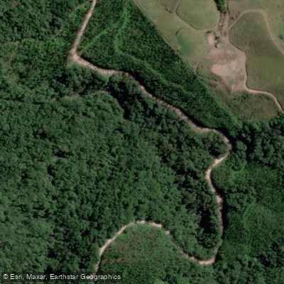
Ribeirão Gaspar Grande
Rio das Águas Cristalinas
Rio Encano
Ribeirão do Bode ou São Luís
Water and weather conditions (10 day forecast)
See the best times to paddle Parque Nacional da Serra do Itajaí and check the forecast before you go.
No forecast data available.
Paddle smarter with real-time insights
Whether you're en route and conditions shift or you're looking for the best spot based on current flows, we enable you to make informed decisions on the fly.







Paddling near Parque Nacional da Serra do Itajaí
Loading...
Gateway towns
Where to base yourself for paddling in Parque Nacional da Serra do Itajaí.
- IndaialSC
Main visitor base for the park, with trailheads including Morro do Spitzkopf and lodging options closest to key access points.
- BlumenauSC
Nearest large city to the park, offering the widest range of lodging, supplies, and transport connections for visitors.
- GasparSC
Sits along the park's perimeter and serves as an access point for trails and rural community entry routes into the park.
- ApiúnaSC
Small municipality bordering the park's interior, used as a rural gateway for reaching more remote sections of the Atlantic Forest.
Explore Parque Nacional da Serra do Itajaí
Top paddling waters
Popular Cities
Loading popular cities...

Smarter Paddling Starts in the App.
Paddleways gives you everything you need to plan smarter, paddle better, and own every trip from first launch to takeout.