Paddling in Parque Nacional do Cabo Orange
- National Park
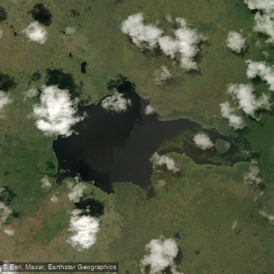
- Lakes
- 1
- Rivers
- 6
- Access
- 0
- Boat Ramps
- 0
- Shops
- 0
Parque Nacional do Cabo Orange sits at the northeastern tip of the Brazilian state of Amapá, where the Amazon biome meets the Atlantic coast.
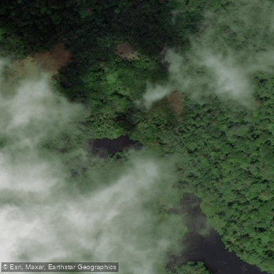
The park's water is tidal, estuarine, and riverine all at once — a vast lowland of mangroves, flooded grasslands, and coastal marshes shaped by the push and pull of ocean tides and river flows. Access is by boat; there is no other way in.
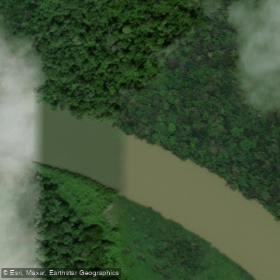
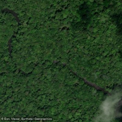
The rivers that anchor the paddling here are the Oiapoque, the Cassiporé, the Cunani, and the Uaçá. The Oiapoque forms the park's northeastern boundary and the international border with French Guiana.
The Cassiporé and Cunani each carry their own character — each river has its own particularidade — and both are reachable from the park's coastal edge. The Uaçá rounds out the core network.
Boat, canoe, and launch trips are the established modes of travel on all four, and rafting is a practiced activity within the park.
The tidal range here is amplified by proximity to the Amazon's mouth, which pushes nutrient-rich sediment into the system and drives the scale of the mangroves — these are not the scrubby coastal fringe you find elsewhere, but Amazonian-scale forest with aerial root systems that dwarf a loaded canoe.
Tides govern your schedule more than any seasonal rainfall window; plan entries and exits around them. The park is managed by ICMBio and operates under Brazil's integral protection rules — the same framework that applies to all parques nacionais.
That means no extractive use, and any activity requires authorization.
Check with ICMBio directly for current permit requirements before putting a boat in the water; the rules for a protection-integral unit are stricter than those for sustainable-use areas, and enforcement in a park of this size and remoteness is real.
The park is also a Ramsar Wetland of International Importance, a designation that reinforces how seriously the ecosystem is taken at every level of governance. Getting here is genuinely difficult.
Oiapoque is the nearest town of any size, and the park's interior is reached from the water, not from a trailhead. That remoteness is the defining condition of paddling Cabo Orange — not a selling point, just the truth of the place.
Top waters to paddle near Parque Nacional Do Cabo Orange


Water and weather conditions (10 day forecast)
See the best times to paddle Parque Nacional do Cabo Orange and check the forecast before you go.
No forecast data available.
Paddle smarter with real-time insights
Whether you're en route and conditions shift or you're looking for the best spot based on current flows, we enable you to make informed decisions on the fly.







Paddling near Parque Nacional do Cabo Orange
Loading...
Gateway towns
Where to base yourself for paddling in Parque Nacional do Cabo Orange.
- OiapoqueAP
The main gateway town for the park, with lodging, boat launches, and access to the Oiapoque River corridor into the park.
- CalçoeneAP
The other municipality covering the park, serving as a southern access point with registered fishing and vessel services for the park.
Explore Parque Nacional do Cabo Orange
Top paddling waters
Popular Cities
Loading popular cities...

Smarter Paddling Starts in the App.
Paddleways gives you everything you need to plan smarter, paddle better, and own every trip from first launch to takeout.