Paddling in Parque Nacional do Itatiaia
- National Park
- Lakes
- 1
- Rivers
- 16
- Access
- 0
- Boat Ramps
- 0
- Shops
- 0
The Serra da Mantiqueira rises steeply between Rio de Janeiro and Minas Gerais, and the rivers that drain it carry the character of that terrain: steep, cold, and fast-moving through dense Atlantic Forest.
Parque Nacional do Itatiaia, Brazil's oldest national park, sits across this massif at elevations ranging from 600 to 2,791 meters, and the water inside it reflects every meter of that drop.
The park's rivers are mountain streams born from high-altitude headwaters.
The Rio Capivari and the Rio das Furnas are among the named waters inside the park, threading through the lower sectors where forest cover is dense and the gradient keeps current moving. These are not flatwater destinations.
The terrain that makes Itatiaia dramatic for trekkers — rocky formations, abrupt relief, waterfalls — shapes the rivers the same way. Expect technical, boulder-choked channels rather than open runs.
The park is divided into a lower sector and a high-altitude planalto, and access to each follows separate entry points.
The lower sector, closer to the municipalities of Itatiaia and Resende on the Rio de Janeiro side, is where most river-adjacent activity concentrates.
The upper sector, accessed via Itamonte and Bocaina de Minas in Minas Gerais, sits above the treeline and is expedition terrain in every sense.
As a protected area managed by ICMBio under strict conservation rules, Itatiaia operates differently from unprotected river corridors. Entry requires a purchased ticket, and the park controls access to its interior roads and trails.
Any activity on park waters falls under those same protections.
Check directly with ICMBio or the park administration for current regulations before planning any paddling trip — what is permitted, what requires prior authorization, and whether specific river sections are open to visitors at all.
The rivers here are not the main event in the way the peaks are. But for paddlers who read gradient and moving water the way climbers read rock, the streams draining the Mantiqueira inside this park carry real weight.
Top waters to paddle near Parque Nacional Do Itatiaia
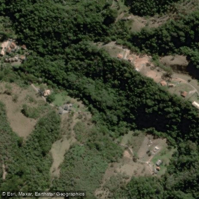
Rio Capivari
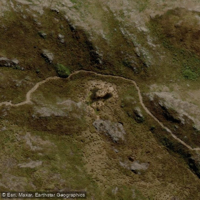
Lago
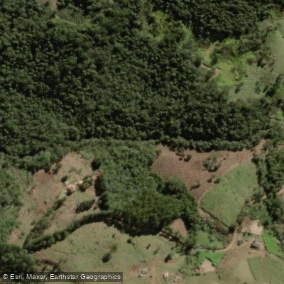
Rio das Furnas
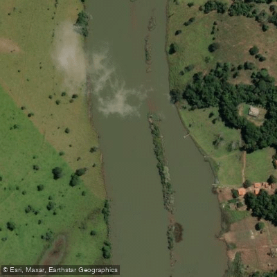
Rio Grande
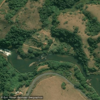
Rio Preto
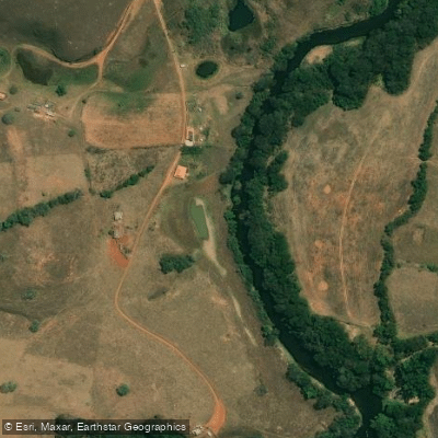
Rio Aruruoca
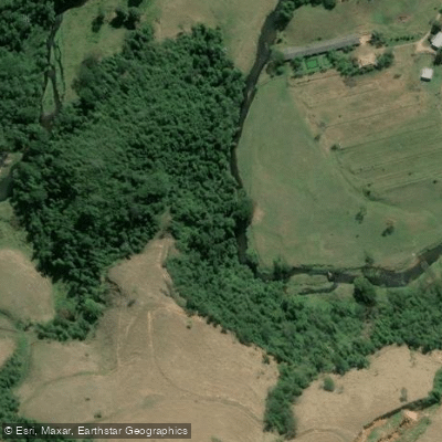
Rio Pirapetinga
Rio Campo Belo
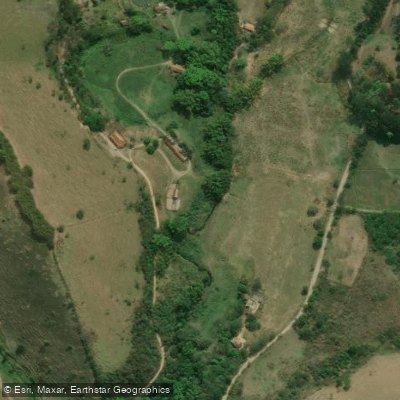
Ribeirão da Água Branca
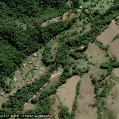
Ribeirão das Flores
Water and weather conditions (10 day forecast)
See the best times to paddle Parque Nacional do Itatiaia and check the forecast before you go.
No forecast data available.
Paddle smarter with real-time insights
Whether you're en route and conditions shift or you're looking for the best spot based on current flows, we enable you to make informed decisions on the fly.







Paddling near Parque Nacional do Itatiaia
Loading...
Gateway towns
Where to base yourself for paddling in Parque Nacional do Itatiaia.
- ItatiaiaRJ
The town shares the park's name and sits at its main lower entrance, with hotels, pousadas, and guides serving most visitors.
- ResendeRJ
The nearest city and a practical base for the park, where guides for Agulhas Negras summit permits are booked in advance.
- PenedoRJ
A small town near the park used by visitors as a base, with local markets and lodging convenient for the lower trails.
- ItamonteMG
Gateway town on the Minas Gerais side of the park, providing access to the high-altitude sector and Agulhas Negras.
- Bocaina de MinasMG
A small municipality bordering the park on the Minas Gerais side, offering an alternative entry point to the park's interior.
Explore Parque Nacional do Itatiaia
Top paddling waters
Popular Cities
Loading popular cities...

Smarter Paddling Starts in the App.
Paddleways gives you everything you need to plan smarter, paddle better, and own every trip from first launch to takeout.