Paddling in Parque Nacional do Pico da Neblina
- National Park
- Lakes
- 1
- Rivers
- 53
- Access
- 0
- Boat Ramps
- 0
- Shops
- 0
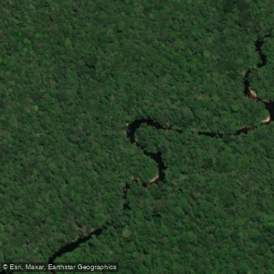
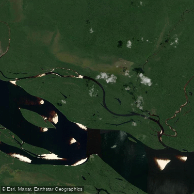
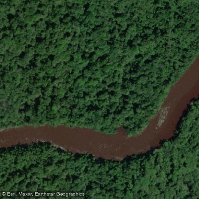
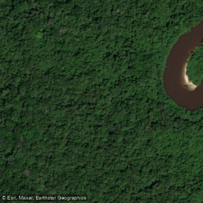
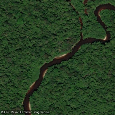
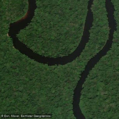
The waters inside Parque Nacional do Pico da Neblina belong to the Amazon basin's northwestern edge — slow, dark, and vast in the lowlands, threading through igapó and várzea forest before the terrain climbs toward the Serra do Imeri and the cloud forest above.
The park sits in the state of Amazonas near the Venezuelan border, bounded to the south by the Rio Negro, and covers more than 2. 2 million hectares of some of the most remote terrain in Brazil. Getting here is itself a river journey.
The park can be reached by boat along the Igarapé Itamirim or along the Cauaburi and Sá rivers, with São Gabriel da Cachoeira — roughly 850 km northwest of Manaus — serving as the practical gateway.
From there, travel into the park continues by water, following igarapés and rivers toward the Maturacá region and the approaches used for expeditions toward Yaripo.
The igarapés named in the park's access corridors include Igarapé Castanhal, Igarapé Miuá, and Igarapé Branco, which function as travel routes through the forest rather than destinations in themselves.
The paddling character here is Amazonian flatwater in its most intact form: black-water igarapés moving through flooded forest, with current dictated by season and rainfall rather than gradient.
The Guiana Shield geology that underlies the park shapes the hydrology — ancient, stable, draining into the Rio Negro system.
There are no sources describing whitewater within the park's paddled corridors; this is expedition travel by canoe or small boat, where navigation, remoteness, and logistics matter more than river grade.
Access to the park requires authorization from both FUNAI and ICMBio. That permitting structure reflects the park's overlap with the Terra Indígena Yanomami and the Yanomami communities whose territory this is.
Paddlers should contact ICMBio directly for current entry requirements before any planning goes further — the rules here are not a formality. This is not a place you arrive at casually. The rivers are the road in, and the road is long.
Top waters to paddle near Parque Nacional Do Pico Da Neblina

Water and weather conditions (10 day forecast)
See the best times to paddle Parque Nacional do Pico da Neblina and check the forecast before you go.
No forecast data available.
Paddle smarter with real-time insights
Whether you're en route and conditions shift or you're looking for the best spot based on current flows, we enable you to make informed decisions on the fly.







Paddling near Parque Nacional do Pico da Neblina
Loading...
Gateway towns
Where to base yourself for paddling in Parque Nacional do Pico da Neblina.
- São Gabriel da CachoeiraAmazonas
The main gateway town, with the park's administrative office, outfitters, guides, lodging, and the river launches that access the park.
- ManausAmazonas
The regional hub where most expeditions originate, offering flights, gear, and accommodation before the onward journey to the park.
Explore Parque Nacional do Pico da Neblina
Top paddling waters
Popular Cities
Loading popular cities...

Smarter Paddling Starts in the App.
Paddleways gives you everything you need to plan smarter, paddle better, and own every trip from first launch to takeout.