Paddling in Parque Nacional dos Campos Gerais
- National Park
- Lakes
- 0
- Rivers
- 12
- Access
- 0
- Boat Ramps
- 0
- Shops
- 0
The water inside Parque Nacional dos Campos Gerais is defined less by long navigable corridors than by the geology beneath it — sandstone plateaus, canyons, faults, and caves that shape how rivers begin and where they go.
The park sits in the centro-leste of Paraná, near Ponta Grossa, spread across the municipalities of Ponta Grossa, Castro, and Carambeí. At 21,299 hectares, it protects the headwaters of two significant river systems: the Tibagi and the Ribeira de Iguape.
Those source waters are the paddling anchor here.
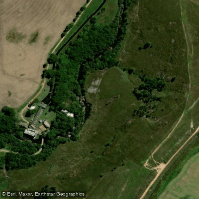
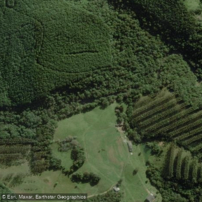
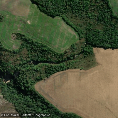
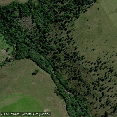
The Rio Quebra-Pernas is one of the named rivers moving through the park's interior, reached via a trail from Itaiacoca — a moderate route of about 8 km through the transition zone where Cerrado grassland meets Mata Atlântica with araucária.
The Rio Grande figures in the park's trail network as well, with a circular route that follows its course.
The Cachoeira da Mariquinha and the area around Buraco do Padre are connected by a roughly 10 km traverse through the park's southern section, passing through both open campo and dense riparian forest.
The terrain is rugged — cliffs, canyons, and geological faults mean the rivers here drop and pool rather than run long flatwater stretches. The water that collects in formations like the Furnas runs emerald-green against sandstone walls.
This is not a park where you arrive with a loaded touring boat; the water is intimate, tied to the landscape, and accessed mostly on foot before you reach it.
As a Proteção Integral unit administered by ICMBio, the park operates under strict conservation rules. Only about 0.
1% of the original campos gerais vegetation survives, and much of the park's land remains in a complicated state of private use pending full regularization — meaning access points and conditions on the ground can differ from what maps suggest.
Contact ICMBio directly before any trip to confirm current access, permitted uses on specific waters, and any requirements for overnight travel within the park boundary.
The rivers here are young in the hydrological sense — close to their sources, reactive to rainfall, and embedded in one of the most ecologically pressured landscapes in southern Brazil.
Paddling them asks for patience with logistics and respect for what little remains.
Top waters to paddle near Parque Nacional Dos Campos Gerais
Water and weather conditions (10 day forecast)
See the best times to paddle Parque Nacional dos Campos Gerais and check the forecast before you go.
No forecast data available.
Paddle smarter with real-time insights
Whether you're en route and conditions shift or you're looking for the best spot based on current flows, we enable you to make informed decisions on the fly.







Paddling near Parque Nacional dos Campos Gerais
Loading...
Gateway towns
Where to base yourself for paddling in Parque Nacional dos Campos Gerais.
- Ponta GrossaPR
Nearest city and main base for the park, with lodging, services, and access to trails and park entrances.
- CastroPR
One of the three municipalities the park spans, offering a northern access point and visitor services.
- CarambeíPR
One of the three municipalities within the park boundary, providing an additional entry point for visitors.
Explore Parque Nacional dos Campos Gerais
Top paddling waters
Popular Cities
Loading popular cities...

Smarter Paddling Starts in the App.
Paddleways gives you everything you need to plan smarter, paddle better, and own every trip from first launch to takeout.