Paddling in Parque Nacional Serra da Mocidade
- National Park
- Lakes
- 0
- Rivers
- 21
- Access
- 0
- Boat Ramps
- 0
- Shops
- 0
Parque Nacional Serra da Mocidade sits in the far northwestern corner of Brazil, straddling the states of Roraima and Amazonas near the Venezuelan border.
The park spans more than 376,000 hectares of terrain that shifts from Amazonian lowland forest up through sandstone plateaus and mountain ridgelines reaching 1,700 meters.
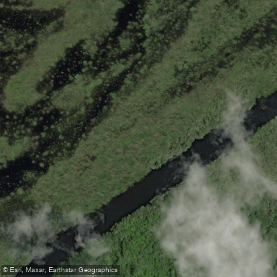
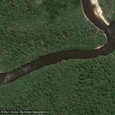
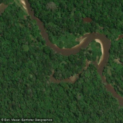
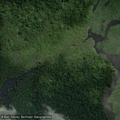
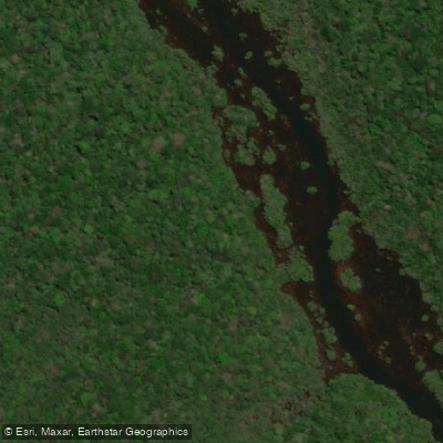
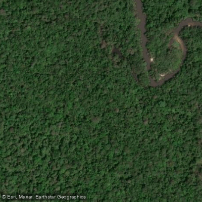
Water is everywhere here — small meandering upland streams, seasonal wetlands, alluvial floodplains — but the rivers that define the park's drainage are the Rio Água Boa do Univini and the Rio Catrimani, both tributaries of the right bank of the Rio Branco.
These are not rivers with established put-ins and take-outs.
The waters carry the distinctive chemical and biological properties — the blackwater and clearwater chemistry typical of Guiana Shield drainages — flowing through dense forest with no paddling infrastructure whatsoever.
Getting to the park's base at Bacaba from Caracaraí means roughly 300 kilometers by voadeira, the shallow-draft river launch used throughout Amazonia.
Even that leg is not guaranteed: in dry years the river runs too low to navigate without dragging the boat, and in wet years the base itself can sit under a meter of water. Timing is everything and also genuinely difficult.
The window locals describe as "entre águas" — between the high-water and low-water extremes — is the practical target, but it is narrow and variable.
Weekly gauge readings on the Rio Branco at Caracaraí give some indication of conditions, but the park's interior rivers respond to their own rhythms. Average annual rainfall runs around 2,000 millimeters, and the wetlands within the park are strictly seasonal.
The park is administered by ICMBio and has not been formally opened to visitation because a full management plan has not been implemented.
That status matters practically: there is no established visitor infrastructure, no marked river access, and any entry requires coordination with ICMBio. The few people who have reached the interior have done so as part of scientific research missions.
This is water for the genuinely expedition-minded — not because the paddling itself is technically extreme, but because the logistics demand it.
The Rio Água Boa do Univini and the rivers draining these Guiana Shield slopes are among the least-traveled waterways in Brazil. Getting there is the expedition.
Top waters to paddle near Parque Nacional Serra Da Mocidade
Water and weather conditions (10 day forecast)
See the best times to paddle Parque Nacional Serra da Mocidade and check the forecast before you go.
No forecast data available.
Paddle smarter with real-time insights
Whether you're en route and conditions shift or you're looking for the best spot based on current flows, we enable you to make informed decisions on the fly.







Paddling near Parque Nacional Serra da Mocidade
Loading...
Gateway towns
Where to base yourself for paddling in Parque Nacional Serra da Mocidade.
- CaracaraíRoraima
Nearest town to the park and the primary base for visitors, with access to permits and logistics for this remote park.
- BarcelosAmazonas
Municipality covering the park's southern portion in Amazonas, serving as a secondary access point for river-based approaches.
Explore Parque Nacional Serra da Mocidade
Top paddling waters
Popular Cities
Loading popular cities...

Smarter Paddling Starts in the App.
Paddleways gives you everything you need to plan smarter, paddle better, and own every trip from first launch to takeout.