Paddling in Serra da Cutia National Park
- National Park
- Lakes
- 0
- Rivers
- 9
- Access
- 0
- Boat Ramps
- 0
- Shops
- 0
Serra da Cutia sits in the far northwest of Rondônia, pressed against the Bolivian border near Guajará-Mirim.
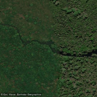
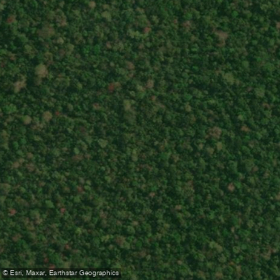
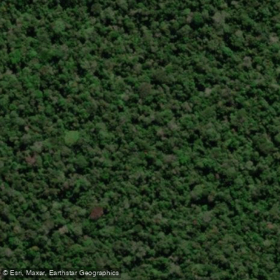
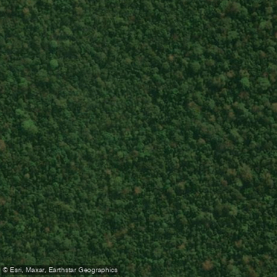
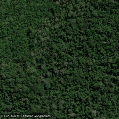
The park's roughly 10,275 square kilometers of lowland Amazonian forest are defined less by elevation than by water — a dense web of rivers, tributaries, and wetlands that earns the park its informal description as a labirinto aquático, an aquatic labyrinth.
The terrain is gently rolling rather than mountainous, and the waterways that drain it feed into two major systems: the Rio Cautário and the Rio Guaporé. Those two rivers anchor the paddling here.
The Rio Guaporé forms part of the border with Bolivia and is the larger of the two, a broad Amazonian river moving through floodplain forest. The Rio Cautário drains interior sections of the park.
Both are fed by smaller tributaries rising from the park's low hills, and the scattered wetlands throughout the park extend the navigable water well beyond the main channels.
This is flatwater territory — the landscape doesn't generate significant gradient — so expect moving water and slack channels rather than whitewater.
The rainy season brings heavy rainfall that swells the rivers and opens up flooded forest that would otherwise be inaccessible. Dry season drops water levels and can concentrate navigation to the main channels.
The park is accessible year-round, though conditions shift substantially between seasons, and the flooded-forest paddling that defines the wet season is a different experience entirely from low-water travel.
This is a genuinely remote protected area, established in 2001 specifically to halt deforestation in the region. That remoteness shapes every aspect of a trip here. The nearest town of any size is Costa Marques.
Self-sufficiency matters in a way it doesn't on more developed rivers. The park also harbors at least one catfish species found nowhere else on earth, a reminder that these channels are not just a route but an ecosystem worth moving through carefully.
Top waters to paddle near Serra Da Cutia National Park
Water and weather conditions (10 day forecast)
See the best times to paddle Serra da Cutia National Park and check the forecast before you go.
No forecast data available.
Paddle smarter with real-time insights
Whether you're en route and conditions shift or you're looking for the best spot based on current flows, we enable you to make informed decisions on the fly.







Paddling near Serra da Cutia National Park
Loading...
Explore Serra da Cutia National Park
Top paddling waters
Popular Cities
Loading popular cities...

Smarter Paddling Starts in the App.
Paddleways gives you everything you need to plan smarter, paddle better, and own every trip from first launch to takeout.