Rio Barreto
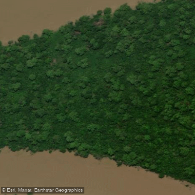
Rio Barreto
- Boat Ramps
- 0
- Access Points
- 0
- Campsites
- 0
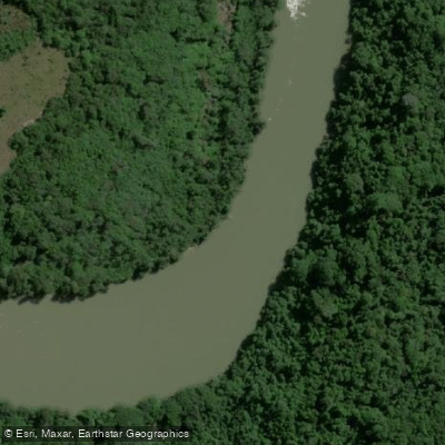
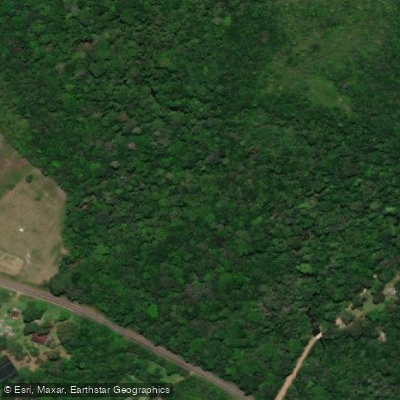
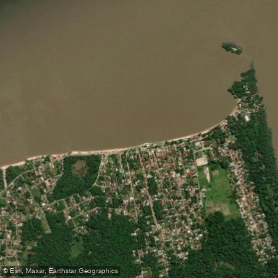
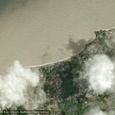
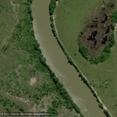
The Rio Barreto is a river in the state of Pará, Brazil, that empties into the Atlantic Ocean within the municipality of São João da Ponta. Its mouth coordinates are approximately 0°42′08″S, 47°59′45″W. The river serves as a natural boundary between two protected areas: the São João da Ponta Extractive Reserve lies to its east, while the Mocapajuba Marine Extractive Reserve lies to its west. The village of São Caetano de Odivelas sits on the river's left (west) bank.
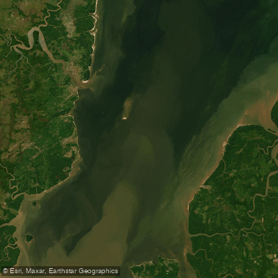
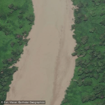
The lower reaches and mouth of the Rio Barreto are characterized predominantly by mud flats, which will be a defining feature of any paddling in that section. The surrounding region is sparsely populated, with roughly 23 people per square kilometer.
The climate is monsoonal, with pronounced wet and dry seasons that will significantly affect paddling conditions. Annual rainfall averages 3,146 millimeters. March is the wettest month, receiving approximately 699 millimeters of rain, while October is the driest, with only about 12 millimeters. Paddlers planning trips should account for this dramatic seasonal variation, as high-water periods in the wet season will alter currents and navigability, particularly near the mouth. Average temperatures are relatively stable throughout the year, ranging from around 22°C (72°F) in February to 24°C (75°F) in September, with an annual mean of 23°C (73°F). The dry season, centered around October, would generally offer more predictable conditions and lower rainfall during a trip.
The river's position between two extractive reserves means paddlers are traveling through a managed conservation zone. Those planning trips should be aware of any regulations associated with the São João da Ponta Extractive Reserve and the Mocapajuba Marine Extractive Reserve, as access and activities within these areas may be subject to restrictions.
Water access, boat ramps & amenities
Learn how to get on Rio Barreto. Uncover great paddling access points, boat ramps, and all the facilities you need for an unforgettable day on the water. Some locations shown may border or include private property. Always check property boundaries and applicable regulations before visiting. PaddleWays's Public & Private Land layer can help you plan your access with confidence.
Paddle smarter with real-time insights
Whether you're en route and conditions shift or you're looking for the best spot based on current flows, we enable you to make informed decisions on the fly.







Pará licenses and regulations
No licenses or regulations available for Pará.
Find Places to Paddle

Over 400,000 Places to Paddle
Every user gets free access to launch points, boat ramps, and public property parcels.


Water and weather conditions (10 day forecast)
See the best times to paddle Rio Barreto and check the forecast before you go.
No forecast data available.
Paddling near Rio Barreto
Explore Pará waters
Top paddling waters
No waters available right now.
Popular Cities
Loading popular cities...
Explore near Rio Barreto

Smarter Paddling Starts in the App.
Paddleways gives you everything you need to plan smarter, paddle better, and own every trip from first launch to takeout.