Rio Maicuru
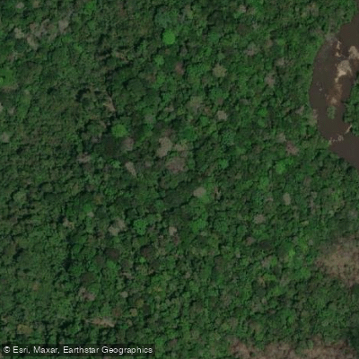
Rio Maicuru
- Boat Ramps
- 0
- Access Points
- 0
- Campsites
- 0
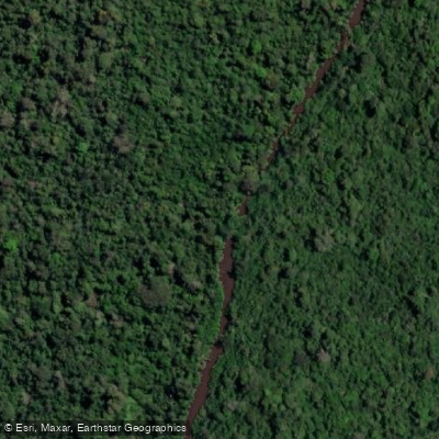
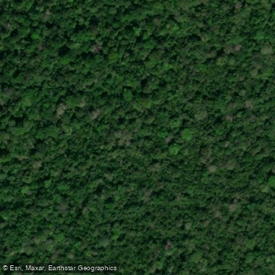
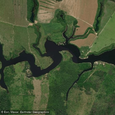
The Rio Maicuru is a left-bank tributary of the Amazon River in the state of Pará, north-central Brazil, measuring between 547 and 610 kilometers in length and draining a basin of approximately 21,917 square kilometers. It originates in the Tumucumaque Mountains National Park on the Guyana Shield and flows generally southward through dense rainforest before emptying into the Amazon via Lago Grande de Monte Alegre near the municipality of Monte Alegre.
In its lower reaches, the river widens to between 40 and 60 meters and shallows to roughly 1 meter in depth. The substrate there consists of pebbles, loose rocks, and boulders, and the water runs clear with a moderately strong current. Average discharge near the mouth is approximately 240 cubic meters per second, though a gauging station at Arapari recorded a long-term average of around 127 cubic meters per second over a basin area of 17,072 square kilometers. Numerous igarapés feed into the main channel throughout its course.
A significant portion of the river's basin falls within strictly protected conservation units, including the Grão-Pará Ecological Station — the largest fully protected tropical forest conservation unit on the planet at over 4.2 million hectares — as well as the Maicuru Biological Reserve, which spans approximately 1.15 million hectares across the municipalities of Almeirim and Monte Alegre. The basin also overlaps with the Mulata National Forest. Paddlers should research access and use regulations for these protected areas carefully before planning any trip, as biological reserves and ecological stations in Brazil typically impose strict restrictions on entry and activity.
The river supports populations of fish including curimatã, acari, tambaqui, and surubim, reflecting the broader biodiversity of the northeastern Amazon region.
Water access, boat ramps & amenities
Learn how to get on Rio Maicuru. Uncover great paddling access points, boat ramps, and all the facilities you need for an unforgettable day on the water. Some locations shown may border or include private property. Always check property boundaries and applicable regulations before visiting. PaddleWays's Public & Private Land layer can help you plan your access with confidence.
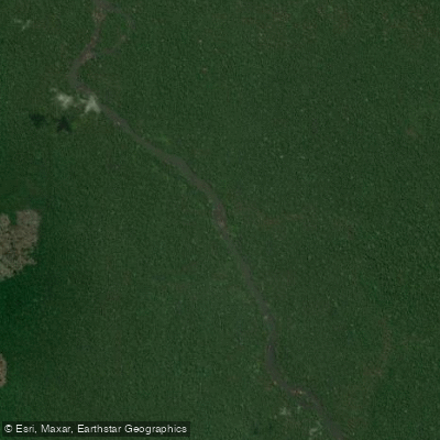
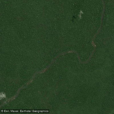
Paddle smarter with real-time insights
Whether you're en route and conditions shift or you're looking for the best spot based on current flows, we enable you to make informed decisions on the fly.







Pará licenses and regulations
No licenses or regulations available for Pará.
Find Places to Paddle

Over 400,000 Places to Paddle
Every user gets free access to launch points, boat ramps, and public property parcels.


Water and weather conditions (10 day forecast)
See the best times to paddle Rio Maicuru and check the forecast before you go.
Lajeiro
All Flow Stations
Explore Pará waters
Top paddling waters
No waters available right now.
Popular Cities
Loading popular cities...
Explore near Rio Maicuru

Smarter Paddling Starts in the App.
Paddleways gives you everything you need to plan smarter, paddle better, and own every trip from first launch to takeout.