Rio Capibaribe
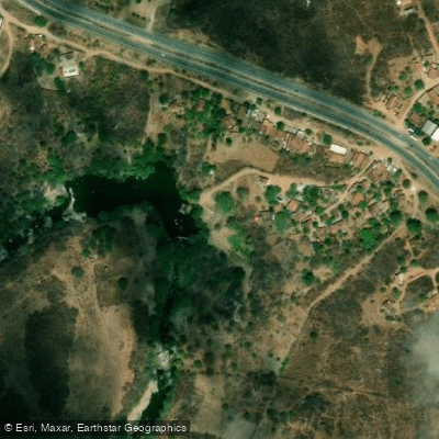
Rio Capibaribe
- Boat Ramps
- 0
- Access Points
- 0
- Campsites
- 0
The Rio Capibaribe is a major river in the northeastern Brazilian state of Pernambuco, originating in the Serra do Jacarará on the border of the municipalities of Poção and Jataúba at an elevation of approximately 1,100 meters above sea level. From there it flows generally eastward through the semi-arid agreste region before transitioning into the more humid zona da mata, ultimately discharging into the Atlantic Ocean at Recife. The river's total length ranges between 240 and 280 kilometers, passing through approximately 42 municipalities and receiving around 74 tributaries along its course. Its drainage basin covers roughly 7,455 square kilometers and supports a population of about 1.45 million people.
The upper reaches carry steeper gradients exceeding 10 percent in dissected hilly terrain, while the lower course flattens to less than 1 percent as it approaches the coast. The river's flow is intermittent in its upper sections, with 13 major dams managing water distribution across the basin. In its lower urban stretch through Recife, the river is tidal and navigable, passing through a network of canals, historic buildings, palaces, parks, and numerous bridges connecting neighborhoods to the old city center — a character that has earned Recife the informal nickname "The Brazilian Venice."
The urban stretch in Recife is the most accessible section for paddlers and on-water visitors. Multiple access points exist along the city center reach, allowing for easy embarkation and disembarkation. The river's location within the city means transportation to put-in points is straightforward. Catamaran Tours is one operator known to offer boat trips along this stretch. Kayaking, canoeing, and stand-up paddleboarding are popular water activities on the Recife section of the river.
Tarpon fishing is a notable activity in the Recife stretch, indicating the presence of larger fish species in the tidal lower river. The river has historically been significant to the development of Pernambuco, with its fertile floodplains supporting early sugarcane cultivation and serving as a transportation corridor into the interior. Studies into the river's navigability for urban transportation have been ongoing, which may affect future access and use of the waterway.
Water access, boat ramps & amenities
Learn how to get on Rio Capibaribe. Uncover great paddling access points, boat ramps, and all the facilities you need for an unforgettable day on the water. Some locations shown may border or include private property. Always check property boundaries and applicable regulations before visiting. PaddleWays's Public & Private Land layer can help you plan your access with confidence.
Paddle smarter with real-time insights
Whether you're en route and conditions shift or you're looking for the best spot based on current flows, we enable you to make informed decisions on the fly.







Pernambuco licenses and regulations
No licenses or regulations available for Pernambuco.
Find Places to Paddle

Over 400,000 Places to Paddle
Every user gets free access to launch points, boat ramps, and public property parcels.


Water and weather conditions (10 day forecast)
See the best times to paddle Rio Capibaribe and check the forecast before you go.
Brejo Madre De Deus
All Flow Stations
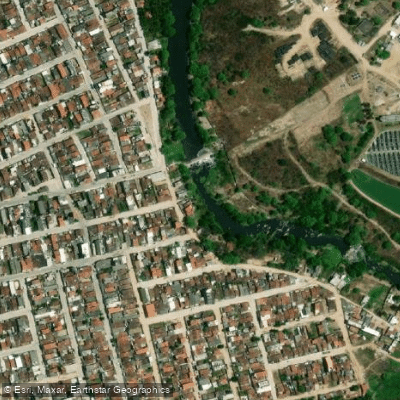
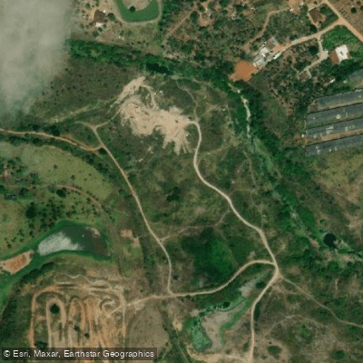
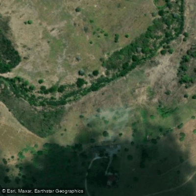
Explore Pernambuco waters
Top paddling waters
No waters available right now.
Popular Cities
Loading popular cities...
Explore near Rio Capibaribe
Nearby waters
More in Pernambuco

Smarter Paddling Starts in the App.
Paddleways gives you everything you need to plan smarter, paddle better, and own every trip from first launch to takeout.