Rio Igaraçu
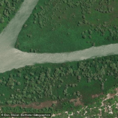
Rio Igaraçu
- Boat Ramps
- 0
- Access Points
- 0
- Campsites
- 0
The Rio Igaraçu is a distributary of the Parnaíba River in northern Piauí state, flowing from its origin on the Parnaíba southwest of the city of Parnaíba to its mouth on the Atlantic Ocean near the city of Luís Correia. The river spans approximately 11.5 miles and forms part of the intricate channel network of the Parnaíba Delta, one of the largest river deltas on the South American coast. Portions of the river fall within an Environmental Protection Area administered by ICMBio, Brazil's federal conservation agency.
The primary way to access the river is by boat, with tours and excursions typically departing from Parnaíba or nearby coastal towns. Parnaíba itself is reachable by bus or plane. The river's channels wind through extensive mangrove forests, and some guided boat tours offer opportunities for kayaking or paddleboarding within the waterways. Infrastructure along the river is limited, which is worth factoring into trip planning. Flow monitoring stations are located at Porto De Vera Cruz and Capitânia.
The delta environment along the Rio Igaraçu is characterized by mangrove ecosystems, mobile dunes, and natural pools. The area known as Canto do Vieira, situated along the river's banks between Parnaíba and Luís Correia, is accessible by canoe, motorized boat, or by 4x4 vehicle via Praia da Pedra do Sal. The combination of mangroves, shifting dunes, and tidal channels gives the paddling experience a distinctly coastal, estuarine character rather than a freshwater river feel.
Given the tropical location at approximately 2°52′S latitude, temperatures are warm year-round. Booking guided boat tours in advance is advisable during peak tourist season to secure availability. Paddlers should wear quick-drying footwear suitable for boat travel and potential light walking in mangrove terrain.
Water access, boat ramps & amenities
Learn how to get on Rio Igaraçu. Uncover great paddling access points, boat ramps, and all the facilities you need for an unforgettable day on the water. Some locations shown may border or include private property. Always check property boundaries and applicable regulations before visiting. PaddleWays's Public & Private Land layer can help you plan your access with confidence.
Paddle smarter with real-time insights
Whether you're en route and conditions shift or you're looking for the best spot based on current flows, we enable you to make informed decisions on the fly.







Piauí licenses and regulations
No licenses or regulations available for Piauí.
Find Places to Paddle

Over 400,000 Places to Paddle
Every user gets free access to launch points, boat ramps, and public property parcels.


Water and weather conditions (10 day forecast)
See the best times to paddle Rio Igaraçu and check the forecast before you go.
Porto De Vera Cruz
All Flow Stations
Paddling near Rio Igaraçu
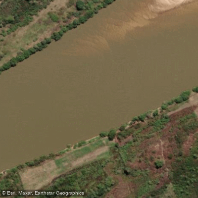
Rio Parnaíba
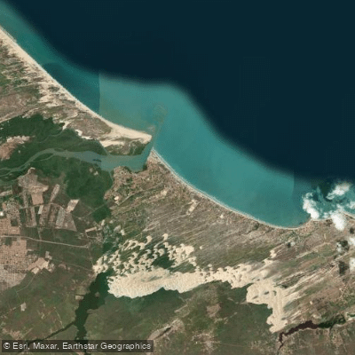
Praia de Atalaia
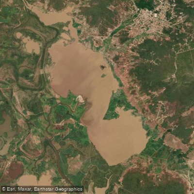
Lagoa Grande Do Buriti Dos Lopes
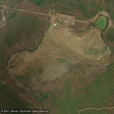
Lagoa Grande
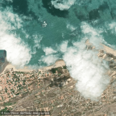
Praia do Coqueiro
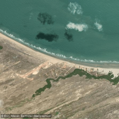
Praia do Arrombado
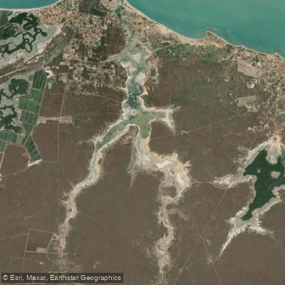
Lago da Santana
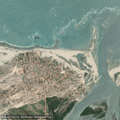
Praia de Macapá
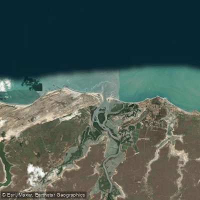
Praia de Macapa
Explore Piauí waters
Top paddling waters
No waters available right now.
Popular Cities
Loading popular cities...
Explore near Rio Igaraçu

Smarter Paddling Starts in the App.
Paddleways gives you everything you need to plan smarter, paddle better, and own every trip from first launch to takeout.