Laguna De Araruama
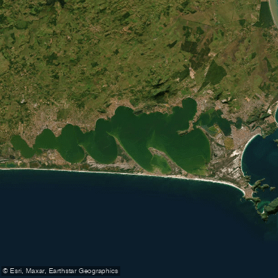
Laguna De Araruama
- Boat Ramps
- 0
- Access Points
- 4
- Campsites
- 0
Lagoa de Araruama is one of the largest hypersaline lagoons in the world, covering 220 square kilometers in the Região dos Lagos of Rio de Janeiro State. It stretches approximately 40 kilometers in length and 13 kilometers in width, with an average depth of 3 meters and a maximum depth of 17 meters. The lagoon is connected to the ocean yet sheltered from open-water wave action, resulting in calm, clear water that is well-suited to a range of paddle craft.
The hypersaline character of the water gives it a distinctive appearance — notably clear and deep blue — and supports marine plant and animal life. The lagoon is bordered by the municipalities of Araruama, Saquarema, Arraial do Cabo, Iguaba Grande, and São Pedro da Aldeia, offering paddlers a variety of shoreline environments to explore. Notable points of interest accessible from the water include Ponta da Alcaíra near Arraial do Cabo, Ponta da Farinha near Iguaba Grande, Ilha do Amor and Ilhota de Massambaba near Arraial do Cabo, and Ilha do Boi near São Pedro da Aldeia.
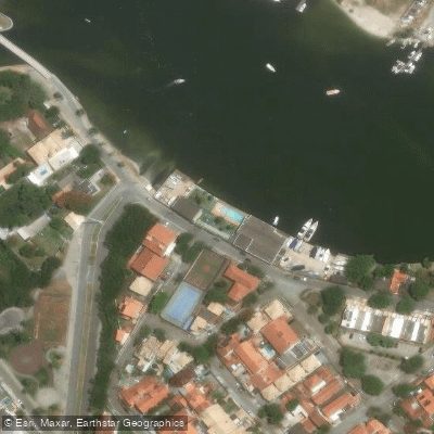
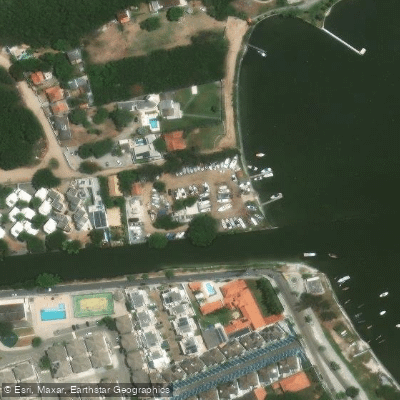
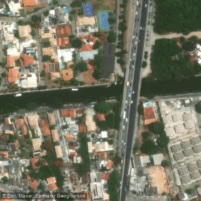
For paddlers looking to put in, access points include Clube do Canal, Marina Marlin, and two locations associated with Pesca de Tainha. Praia do Areal, located approximately 2 kilometers from the city center of Araruama, is well-suited for sailing and kayaking. The waterfront area known as the Orla provides easy lagoon access and supporting infrastructure including bars and bike lanes along the promenade.
The calm, protected waters make the lagoon popular for stand-up paddleboarding and kayaking alongside other water sports such as windsurfing and kitesurfing. Paddlers should be aware that wind-driven craft share the water, which may affect route planning and safety on windier days. Water quality warrants attention when planning trips that involve contact with the water, as pollution concerns have been noted in the area.
The lagoon's relatively shallow average depth and large surface area mean wind conditions can develop quickly. The surrounding landscape features casuarina trees along sections of the shoreline, contributing to the visual character of the area.
Water access, boat ramps & amenities
Learn how to get on Laguna De Araruama. Uncover great paddling access points, boat ramps, and all the facilities you need for an unforgettable day on the water. Some locations shown may border or include private property. Always check property boundaries and applicable regulations before visiting. PaddleWays's Public & Private Land layer can help you plan your access with confidence.
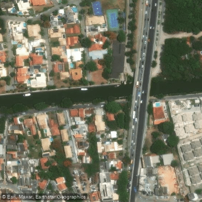
Paddle smarter with real-time insights
Whether you're en route and conditions shift or you're looking for the best spot based on current flows, we enable you to make informed decisions on the fly.







Rio De Janeiro licenses and regulations
No licenses or regulations available for Rio De Janeiro.
Find Places to Paddle

Over 400,000 Places to Paddle
Every user gets free access to launch points, boat ramps, and public property parcels.


Water and weather conditions (10 day forecast)
See the best times to paddle Laguna De Araruama and check the forecast before you go.
Salina Maracana
All Flow Stations
Paddling near Laguna De Araruama
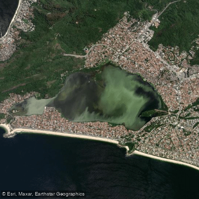
Lagoa De Piratininga
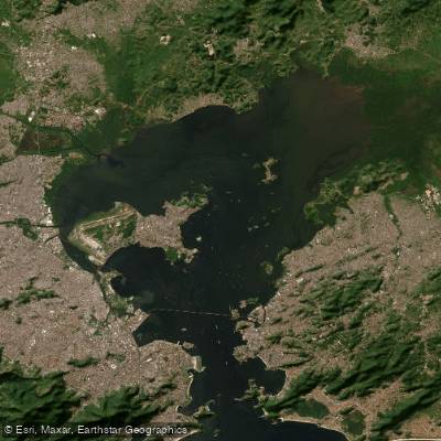
Baía de Guanabara
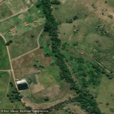
Rio Pitanga
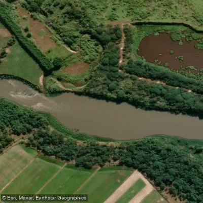
Rio Paraíba do Sul
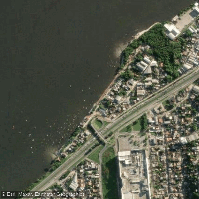
Praia das Pedrinhas
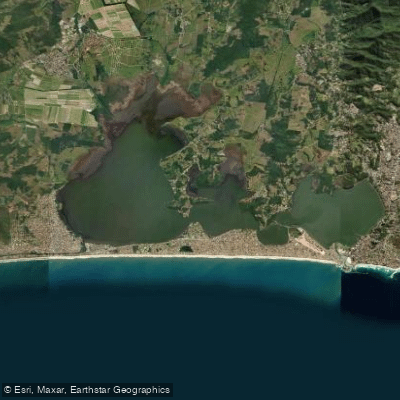
Lagoa De Saquarema
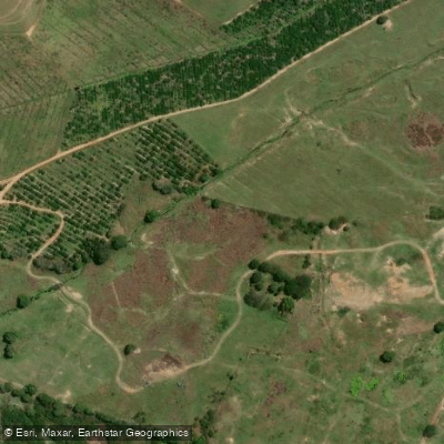
Rio Boa Esperança
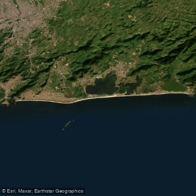
Praia de Itaipuaçu
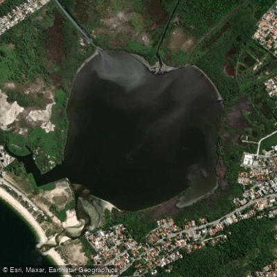
Lagoa De Itaipu
Explore Rio De Janeiro waters
Top paddling waters
No waters available right now.
Popular Cities
Loading popular cities...
Explore near Laguna De Araruama
Access points
Nearby waters
More in Rio De Janeiro

Smarter Paddling Starts in the App.
Paddleways gives you everything you need to plan smarter, paddle better, and own every trip from first launch to takeout.