Açude Armando Ribeiro Gonçalves
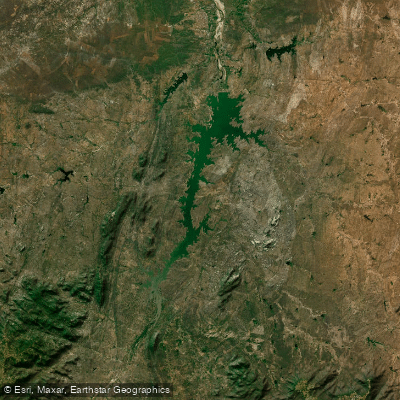
Açude Armando Ribeiro Gonçalves
- Boat Ramps
- 0
- Access Points
- 0
- Campsites
- 0
Açude Armando Ribeiro Gonçalves, also known as Açude do Assu, is the largest reservoir in Rio Grande do Norte and one of the largest in the Brazilian Northeast, with a total capacity of approximately 2.4 billion cubic meters. It was formed by damming the Rio Piranhas-Açu and was inaugurated in 1983, constructed by the Departamento Nacional de Obras Contra as Secas (DNOCS). The reservoir spans the municipalities of Assu, Itajá, and São Rafael in the sertão (semi-arid interior) of Rio Grande do Norte.
The water body has a complex structure that includes numerous islands, multiple arms extending into the surrounding landscape, shallow areas with marginal vegetation, and depths exceeding 40 meters near the dam wall. This varied topography creates a diverse paddling environment with both open expanses and more sheltered, vegetated shallows.
Access to the reservoir is available via public boat ramps as well as through pousadas (guesthouses) situated along the shoreline. Several simple accommodations operate directly on the water's edge, offering boat rentals and local guides familiar with the reservoir's layout. The nearest significant towns are Assu and Ipanguaçu, both of which serve as bases for visitors. Mossoró, approximately 60 kilometers away, offers more complete urban infrastructure including a wider range of hotels and services. From Natal, the state capital, the reservoir is roughly 210 kilometers via the BR-304, a paved highway generally in good condition.
The reservoir is a well-established destination for sport and artisanal fishing, with tucunaré (peacock bass), tilápia, curimatã, and traíra among the species present. Fishing activity means boat traffic on the water is common, particularly in the mornings. Paddlers should be aware that the reservoir serves critical water supply functions for approximately 350,000 urban residents across 20 municipalities, as well as supporting large-scale irrigation in the surrounding valley. Water use regulations have been established by the Agência Nacional de Águas (ANA) and the state water management body (IGARN), and paddlers should check current restrictions before visiting. There is also a noted concern regarding potential contamination from iron mining activity at the nearby Serra do Bonito, though this has not been formally confirmed.
The reservoir's volume fluctuates significantly with rainfall patterns typical of the semi-arid Northeast, and water levels can vary considerably between wet and dry seasons.
Water access, boat ramps & amenities
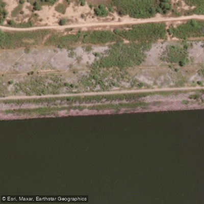
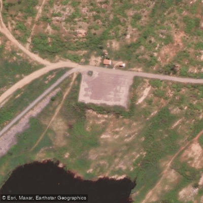
Learn how to get on Açude Armando Ribeiro Gonçalves. Uncover great paddling access points, boat ramps, and all the facilities you need for an unforgettable day on the water. Some locations shown may border or include private property. Always check property boundaries and applicable regulations before visiting. PaddleWays's Public & Private Land layer can help you plan your access with confidence.
Paddle smarter with real-time insights
Whether you're en route and conditions shift or you're looking for the best spot based on current flows, we enable you to make informed decisions on the fly.







Rio Grande Do Norte licenses and regulations
No licenses or regulations available for Rio Grande Do Norte.
Find Places to Paddle

Over 400,000 Places to Paddle
Every user gets free access to launch points, boat ramps, and public property parcels.


Water and weather conditions (10 day forecast)
See the best times to paddle Açude Armando Ribeiro Gonçalves and check the forecast before you go.
Pch Armando Ribeiro Montante
All Flow Stations
Paddling near Açude Armando Ribeiro Gonçalves
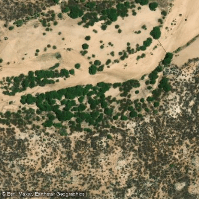
Rio Paraú
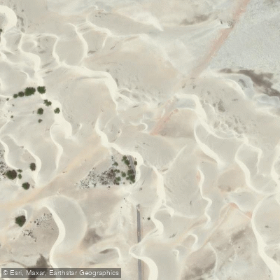
Praia do Rosado
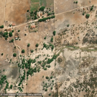
Rio Camurupim
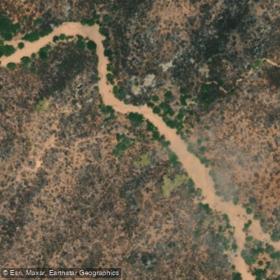
Rio Gaspar Lopes
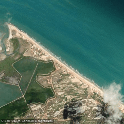
Praia de Baixa Grande
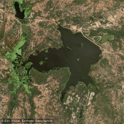
Açude Gangorra
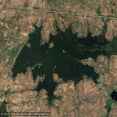
Açude Novo Angicos
Explore Rio Grande Do Norte waters
Top paddling waters
No waters available right now.
Popular Cities
Loading popular cities...
Explore near Açude Armando Ribeiro Gonçalves
Access points
Nearby waters
More in Rio Grande Do Norte

Smarter Paddling Starts in the App.
Paddleways gives you everything you need to plan smarter, paddle better, and own every trip from first launch to takeout.