Rio Camurupim
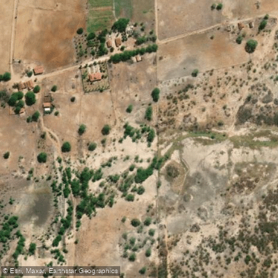
Rio Camurupim
- Boat Ramps
- 0
- Access Points
- 0
- Campsites
- 0
The Rio Camurupim is a coastal river in the state of Rio Grande do Norte, Brazil, flowing into the Atlantic Ocean at Praia de Camurupim near the municipality of Nísia Floresta. The river is characterized by its connection to a rich mangrove ecosystem, which is a notable sight for paddlers who can admire the local flora and fauna during their journey. The paddling experience on the river is often part of a broader coastal exploration, with tours sometimes departing from nearby Tabatinga Beach and crossing several rivers and lakes, passing close to the Nísia Floresta Lagoon. The overall character of paddling here is calm and scenic, focused on nature observation. A typical paddling route on the Camurupim River lasts approximately one hour. The adjacent Praia de Camurupim is a major access point and destination, known for its calm, clear natural pools formed by a reef wall at low tide, with warm water and soft sand. This beach is easy to reach, attracts lovers of active vacations like paddle boarding and kayaking, and is considered suitable for travelers with children due to its gentle conditions. Boat ramps are available. The area is also noted for other tourist activities, including visits to the Arituba Lagoon, which is perfect for pedalos and kayaks, and tours that pass landmarks like the Barreira do Inferno rocket launch site.
Water access, boat ramps & amenities
Learn how to get on Rio Camurupim. Uncover great paddling access points, boat ramps, and all the facilities you need for an unforgettable day on the water. Some locations shown may border or include private property. Always check property boundaries and applicable regulations before visiting. PaddleWays's Public & Private Land layer can help you plan your access with confidence.
Paddle smarter with real-time insights
Whether you're en route and conditions shift or you're looking for the best spot based on current flows, we enable you to make informed decisions on the fly.







Rio Grande Do Norte licenses and regulations
No licenses or regulations available for Rio Grande Do Norte.
Find Places to Paddle

Over 400,000 Places to Paddle
Every user gets free access to launch points, boat ramps, and public property parcels.


Water and weather conditions (10 day forecast)
See the best times to paddle Rio Camurupim and check the forecast before you go.
Jusante De Guamaré
Paddling near Rio Camurupim
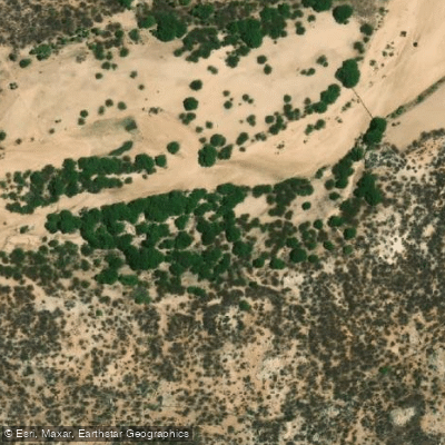
Rio Paraú
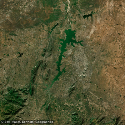
Açude Armando Ribeiro Gonçalves
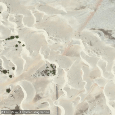
Praia do Rosado
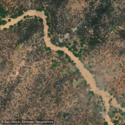
Rio Gaspar Lopes
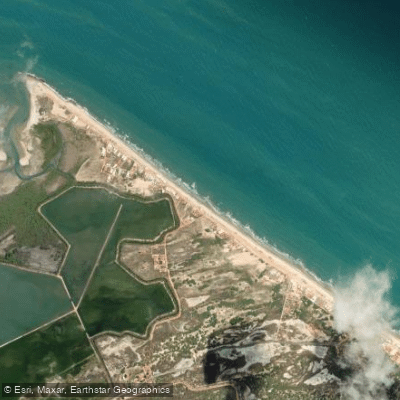
Praia de Baixa Grande
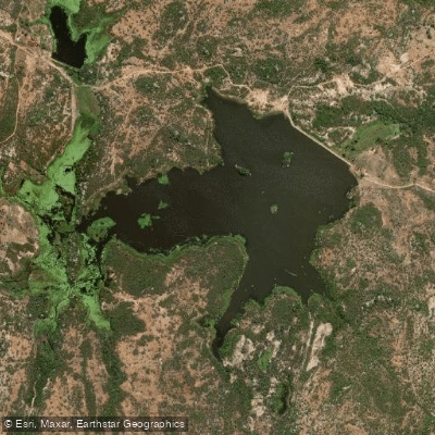
Açude Gangorra
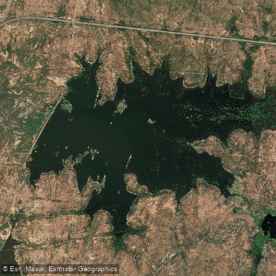
Açude Novo Angicos
Explore Rio Grande Do Norte waters
Top paddling waters
No waters available right now.
Popular Cities
Loading popular cities...
Explore near Rio Camurupim
Nearby waters
More in Rio Grande Do Norte

Smarter Paddling Starts in the App.
Paddleways gives you everything you need to plan smarter, paddle better, and own every trip from first launch to takeout.