Açude Passagem Das Traíras
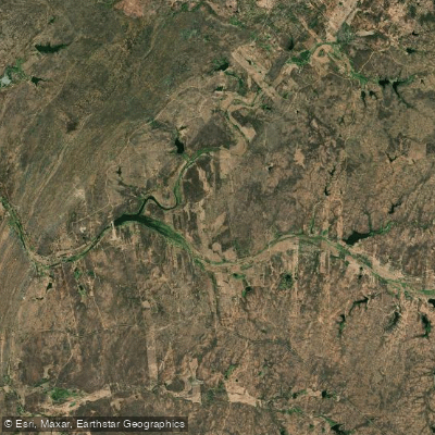
Açude Passagem Das Traíras
- Boat Ramps
- 0
- Access Points
- 0
- Campsites
- 0
Açude Passagem Das Traíras is a gravity dam reservoir located on the Rio Seridó, within the Piranhas-Açu river basin, situated on the boundary of the municipalities of São José do Seridó, Jardim do Seridó, and Caicó in the Seridó region of Rio Grande do Norte. Completed in 1994, the dam is a roller-compacted concrete structure standing 25.5 meters high, with a total storage capacity of approximately 49.7 million cubic meters and a maximum operational water level of 193.32 meters. It is the fourth largest reservoir in the Seridó region.
The reservoir's designated uses include water supply for the urban areas of Jardim do Seridó and northern Caicó, irrigation, flood control, fish farming, and recreational activities. The name refers to the traíra, a fish common to the Caatinga biome.
Paddlers should be aware of a significant safety history associated with this structure. Beginning in 2015, inspections by SEMARH/RN and the Agência Nacional de Águas (ANA) identified precarious structural conditions in the dam. In 2017, a safety water level of 185 meters — corresponding to roughly 6% of total capacity, or approximately 3 million cubic meters — was established to reduce rupture risk. In April 2018, ANA formally directed SEMARH/RN to open the reservoir's valves to maintain this safety level. Repair and rehabilitation works on the dam structure and hydromechanical equipment were ongoing as recently as 2024. Anyone planning to paddle this reservoir should verify the current structural status and any operational restrictions with SEMARH/RN before visiting, as water levels may be managed well below full capacity and access could be subject to safety-related limitations.
Water access, boat ramps & amenities
Learn how to get on Açude Passagem Das Traíras. Uncover great paddling access points, boat ramps, and all the facilities you need for an unforgettable day on the water. Some locations shown may border or include private property. Always check property boundaries and applicable regulations before visiting. PaddleWays's Public & Private Land layer can help you plan your access with confidence.
Paddle smarter with real-time insights
Whether you're en route and conditions shift or you're looking for the best spot based on current flows, we enable you to make informed decisions on the fly.







Rio Grande Do Norte licenses and regulations
No licenses or regulations available for Rio Grande Do Norte.
Find Places to Paddle

Over 400,000 Places to Paddle
Every user gets free access to launch points, boat ramps, and public property parcels.


Water and weather conditions (10 day forecast)
See the best times to paddle Açude Passagem Das Traíras and check the forecast before you go.
Açude Passagem Das Trairas
All Flow Stations
Paddling near Açude Passagem Das Traíras
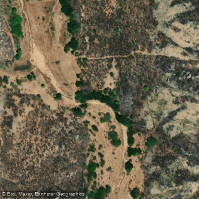
Rio Sabugi
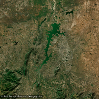
Açude Armando Ribeiro Gonçalves
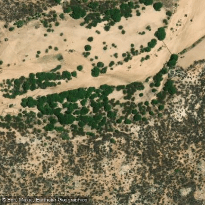
Rio Paraú
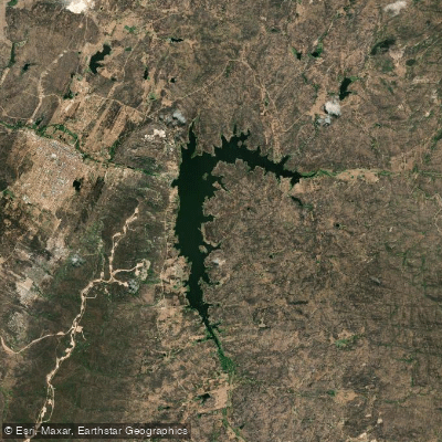
Açude Boqueirão De Parelhas
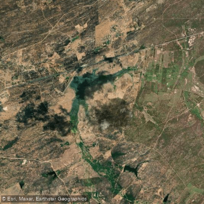
Açude São Mamede
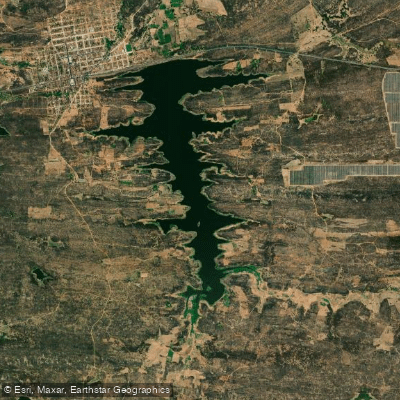
Açude Condado (Engenheiro Arcoverde)
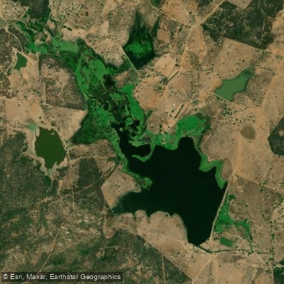
Açude Jatobá
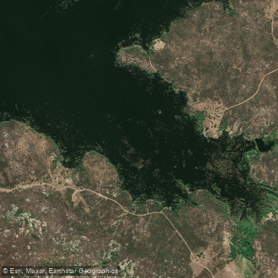
Açude Marechal Dutra
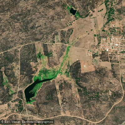
Açude Professor Antônio Petronilo Dantas
Explore Rio Grande Do Norte waters
Top paddling waters
No waters available right now.
Popular Cities
Loading popular cities...
Explore near Açude Passagem Das Traíras

Smarter Paddling Starts in the App.
Paddleways gives you everything you need to plan smarter, paddle better, and own every trip from first launch to takeout.