Rio Potengi
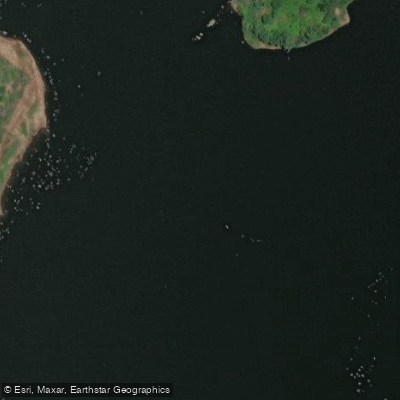
Rio Potengi
- Boat Ramps
- 0
- Access Points
- 0
- Campsites
- 0
The Rio Potengi flows through the state of Rio Grande do Norte, emptying into the Atlantic Ocean at Natal, the state capital. The river is approximately 110 miles in length, with its lower estuary section being the primary area of interest for paddlers. The name translates roughly to "Rio Grande" in the local Tupi language, and the river has long been central to the history and identity of Natal.
The estuarine stretch near Natal is where most paddling activity takes place. This section passes landmarks including the Estuário Iate Clube, the Dique da Base Naval, and the area near the Ponte de Igapó. The iconic Newton Navarro bridge spans the river and forms a recognizable backdrop. The port of Ribeira, where cargo vessels call, is also located along this lower reach, so paddlers should be aware of commercial vessel traffic in the estuary.
Guided kayak tours operate on the river and are rated as easy, making the lower Potengi accessible to beginners and recreational paddlers. Sunset paddles are a popular format, typically running in the late afternoon from around 15:30 to 18:00, taking advantage of Natal's roughly 300 days of sunshine per year. The city's tropical climate means warm conditions year-round, consistent with the region's northeast Brazilian location.
Flow monitoring stations are present at several points along the river, including at Barcelona, Telha, Igreja Nova, and near the estuary, indicating that water levels are tracked along much of its length. The river's lower section is tidal and estuarine in character. Paddlers should account for the presence of commercial port activity and naval facilities in the estuary when planning routes.
Water access, boat ramps & amenities
Learn how to get on Rio Potengi. Uncover great paddling access points, boat ramps, and all the facilities you need for an unforgettable day on the water. Some locations shown may border or include private property. Always check property boundaries and applicable regulations before visiting. PaddleWays's Public & Private Land layer can help you plan your access with confidence.
Paddle smarter with real-time insights
Whether you're en route and conditions shift or you're looking for the best spot based on current flows, we enable you to make informed decisions on the fly.







Rio Grande Do Norte licenses and regulations
No licenses or regulations available for Rio Grande Do Norte.
Find Places to Paddle

Over 400,000 Places to Paddle
Every user gets free access to launch points, boat ramps, and public property parcels.


Water and weather conditions (10 day forecast)
See the best times to paddle Rio Potengi and check the forecast before you go.
Barcelona
All Flow Stations
Paddling near Rio Potengi
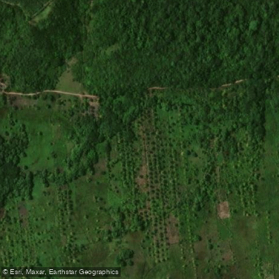
Rio Maxaranguape
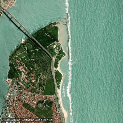
Praia do Forte
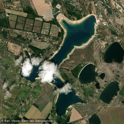
Lagoa Do Bonfim
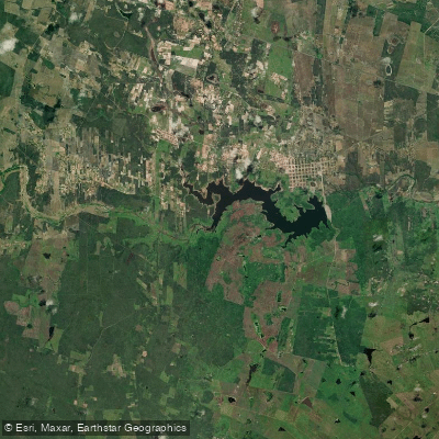
Açude Poço Branco
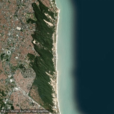
Via Costeira
Rio Guajú
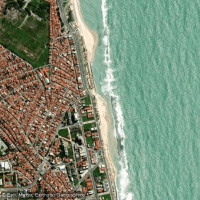
Praia do Meio
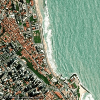
Praia dos Artistas
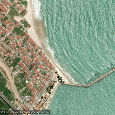
Redinha
Explore Rio Grande Do Norte waters
Top paddling waters
No waters available right now.
Popular Cities
Loading popular cities...
Explore near Rio Potengi
Nearby waters
More in Rio Grande Do Norte

Smarter Paddling Starts in the App.
Paddleways gives you everything you need to plan smarter, paddle better, and own every trip from first launch to takeout.