Açude Poço Branco
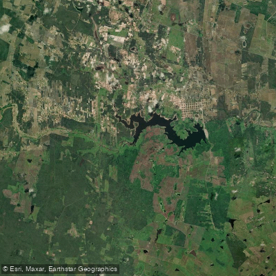
Açude Poço Branco
- Boat Ramps
- 0
- Access Points
- 0
- Campsites
- 0
Açude Poço Branco is the fourth largest reservoir in Rio Grande do Norte, with a storage capacity of 136 million cubic meters. It sits on the rio Ceará-Mirim in the Agreste potiguar region, approximately 62 to 64 kilometers from Natal. The dam was inaugurated in 1969, constructed in response to a devastating flood in 1964 that destroyed the original settlement of Poço Branco, and it remains central to the municipality's water supply, irrigated agriculture, and recreational life.
The reservoir supports a registered fishing community of around 160 fishermen, and irrigated farmland extends roughly 16 kilometers along its margins, benefiting more than 400 families. These working uses of the water are worth keeping in mind when planning a paddling trip, as boat and fishing activity can be expected. The municipality has hosted nautical events on the reservoir, including a recurring Encontro Náutico, indicating that the water body is actively used for recreational boating.
The climate is semi-arid, with temperatures ranging from around 19°C at night to 36°C during the day. Rainfall is concentrated between March and July, which is the period most likely to bring the reservoir to higher levels. The dam overflowed in June 2024 for the first time in 15 years, reaching full capacity, which illustrates how variable water levels can be across years in this drought-prone region. During drier years, the reservoir may sit well below capacity.
A balneário known as the Balneário da Casinha is located in the area, and there is open space near the dam structure used for recreational purposes. The water that exits the reservoir flows down the rio Ceará-Mirim toward the coast at Extremoz. The surrounding landscape is caatinga vegetation, typical of the northeastern Brazilian semi-arid interior.
Water access, boat ramps & amenities
Learn how to get on Açude Poço Branco. Uncover great paddling access points, boat ramps, and all the facilities you need for an unforgettable day on the water. Some locations shown may border or include private property. Always check property boundaries and applicable regulations before visiting. PaddleWays's Public & Private Land layer can help you plan your access with confidence.
Paddle smarter with real-time insights
Whether you're en route and conditions shift or you're looking for the best spot based on current flows, we enable you to make informed decisions on the fly.







Rio Grande Do Norte licenses and regulations
No licenses or regulations available for Rio Grande Do Norte.
Find Places to Paddle

Over 400,000 Places to Paddle
Every user gets free access to launch points, boat ramps, and public property parcels.


Water and weather conditions (10 day forecast)
See the best times to paddle Açude Poço Branco and check the forecast before you go.
Açude Poço Branco
All Flow Stations
Paddling near Açude Poço Branco
Rio Maxaranguape
Rio Potengi
Praia de Pitangui
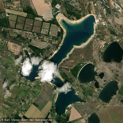
Lagoa Do Bonfim
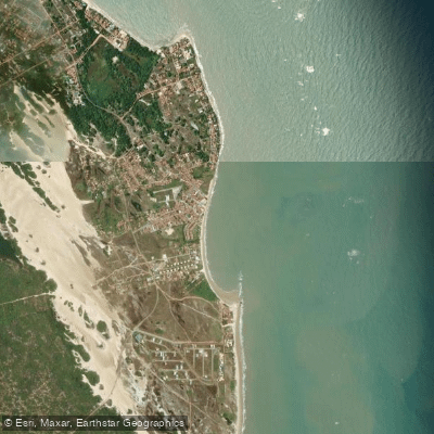
Praia de Jacumã

Praia de Muriú
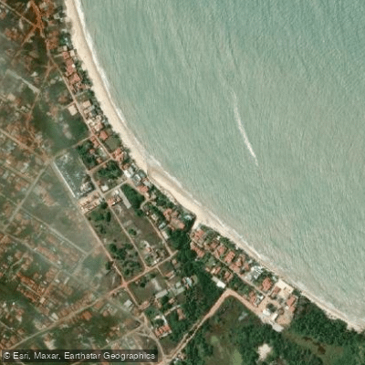
Portomirím
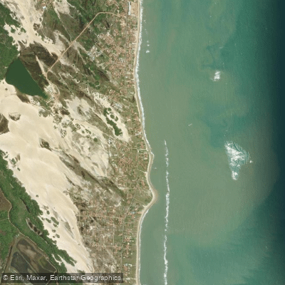
Praia de Graçandu
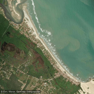
Praia de Jenipabu
Explore Rio Grande Do Norte waters
Top paddling waters
No waters available right now.
Popular Cities
Loading popular cities...
Explore near Açude Poço Branco
Nearby waters
More in Rio Grande Do Norte

Smarter Paddling Starts in the App.
Paddleways gives you everything you need to plan smarter, paddle better, and own every trip from first launch to takeout.