Rio Camaquã
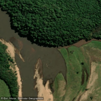
Rio Camaquã
- Boat Ramps
- 0
- Access Points
- 0
- Campsites
- 2
The Rio Camaquã is a significant river flowing through the state of Rio Grande do Sul in southern Brazil. Its drainage basin covers an extensive area of 21,657 square kilometers. The river's course is characterized by a landscape featuring loose rocks, which is a common trait among rivers in this region of Brazil. This geological feature is a key consideration for paddlers navigating the waterway. A portion of the river flows through the Camaquã State Park, a protected area established in 1975, which suggests the presence of natural scenery and potentially restricted access points that require prior planning. The river's general location places it within the broader Litorâneas Hydrographic Region. Specific online resources and planning tools catalog access points, water conditions, and land boundaries to assist in trip preparation. The experience is described as being off the beaten track, indicating a less-developed and potentially more remote paddling adventure compared to more frequented waterways. The river's coordinates are approximately 31°16′18′′S, placing it in the southern part of the state.
Water access, boat ramps & amenities
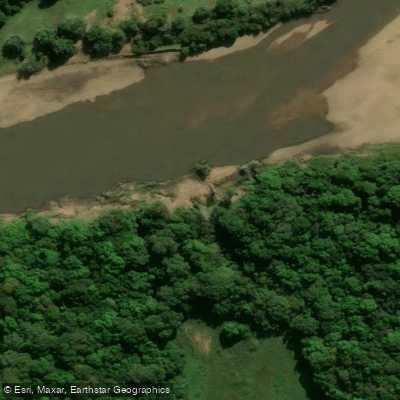
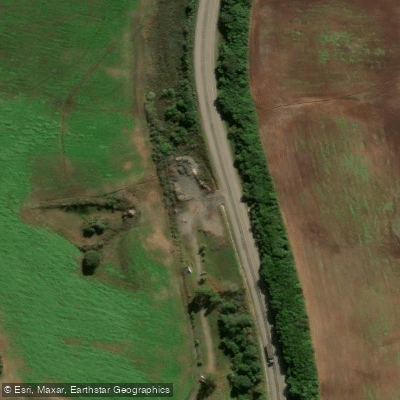
Learn how to get on Rio Camaquã. Uncover great paddling access points, boat ramps, and all the facilities you need for an unforgettable day on the water. Some locations shown may border or include private property. Always check property boundaries and applicable regulations before visiting. PaddleWays's Public & Private Land layer can help you plan your access with confidence.
Paddle smarter with real-time insights
Whether you're en route and conditions shift or you're looking for the best spot based on current flows, we enable you to make informed decisions on the fly.







Rio Grande Do Sul licenses and regulations
No licenses or regulations available for Rio Grande Do Sul.
Find Places to Paddle

Over 400,000 Places to Paddle
Every user gets free access to launch points, boat ramps, and public property parcels.


Water and weather conditions (10 day forecast)
See the best times to paddle Rio Camaquã and check the forecast before you go.
Caçapava Do Sul
All Flow Stations
Paddling near Rio Camaquã
Lagoa Dos Patos

Rio Guaíba
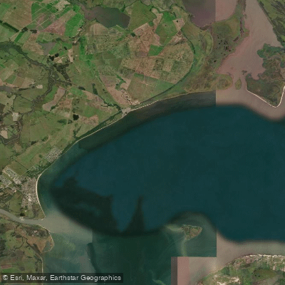
Saco do Laranjal
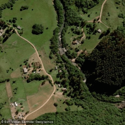
Rio Piratini Menor
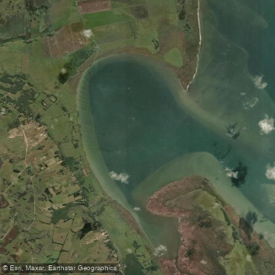
Saco do Silveira
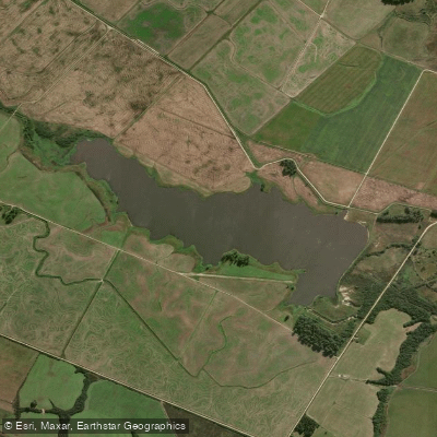
Arroio Retiro
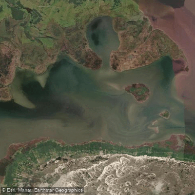
Saco do Arraial
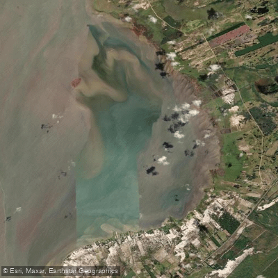
Saco do Mendanha
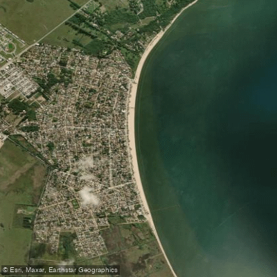
Praia do Laranjal
Explore Rio Grande Do Sul waters
Top paddling waters
No waters available right now.
Popular Cities
Loading popular cities...
Explore near Rio Camaquã
Access points
Nearby waters
More in Rio Grande Do Sul

Smarter Paddling Starts in the App.
Paddleways gives you everything you need to plan smarter, paddle better, and own every trip from first launch to takeout.