Rio Guaíba

Rio Guaíba
- Boat Ramps
- 0
- Access Points
- 1
- Campsites
- 0
The Rio Guaíba is a large, shallow freshwater body covering approximately 496 square kilometres in Rio Grande do Sul, Brazil's southernmost state. Its classification has long been debated — it is commonly referred to as both a river (Rio Guaíba) and a lake (Lago Guaíba) — and it functions essentially as a broad estuary formed where the Jacuí, Sinos, Gravataí, and Caí rivers converge near Porto Alegre before draining southward into the Lagoa dos Patos, the largest lagoon in South America. The water body's considerable width gives it an open, expansive character, with the Porto Alegre skyline visible along its eastern shore and a scattering of islands providing navigational interest and wildlife habitat.
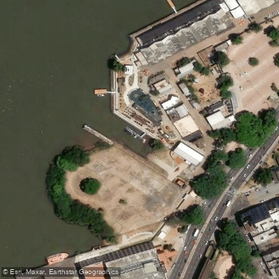
Porto Alegre's waterfront, the Orla do Guaíba, runs along the eastern bank and includes the Usina do Gasômetro pier, Cais Mauá, and Parque Moacir Scliar — all of which serve as practical access points for paddlers and boat tours. The Usina do Gasômetro pier in particular is a well-established departure point for water-based excursions. Several established sailing and motorboat clubs operate on the Guaíba, including Veleiros do Sul, situated in the Cristal bay, which maintains berthing infrastructure and ramps, and Yacht Club Guaíba, which has multiple launch ramps and support facilities. These clubs represent potential access and support resources for paddlers.
The Guaíba is noted for its sunsets, which are widely regarded as one of Porto Alegre's signature visual experiences, with the sky's colors reflecting across the open water surface. Boat tours of one to several hours are a common way to experience the water body, with routes passing the urban waterfront and the islands. Fishing activity is present on the Guaíba, with species including barred sorubim, trahira, and channel catfish found in the area.
The water body is navigable and actively used by sailboats, motorboats, and tour vessels, meaning paddlers should be prepared to share the water with larger craft. The open expanse of the Guaíba can generate significant wind and chop, a factor relevant to trip planning for kayakers and canoeists. A dredged commercial shipping channel also exists within the broader system connecting Porto Alegre to Rio Grande, which adds to vessel traffic considerations.
Water access, boat ramps & amenities
Learn how to get on Rio Guaíba. Uncover great paddling access points, boat ramps, and all the facilities you need for an unforgettable day on the water. Some locations shown may border or include private property. Always check property boundaries and applicable regulations before visiting. PaddleWays's Public & Private Land layer can help you plan your access with confidence.
Paddle smarter with real-time insights
Whether you're en route and conditions shift or you're looking for the best spot based on current flows, we enable you to make informed decisions on the fly.







Rio Grande Do Sul licenses and regulations
No licenses or regulations available for Rio Grande Do Sul.
Find Places to Paddle

Over 400,000 Places to Paddle
Every user gets free access to launch points, boat ramps, and public property parcels.


Water and weather conditions (10 day forecast)
See the best times to paddle Rio Guaíba and check the forecast before you go.
Guaíba
All Flow Stations
Paddling near Rio Guaíba
Lagoa Dos Patos
Saco do Laranjal
Rio Camaquã
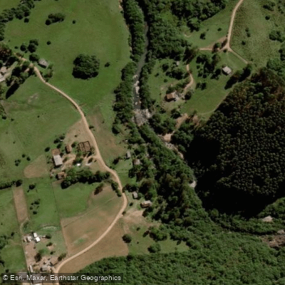
Rio Piratini Menor
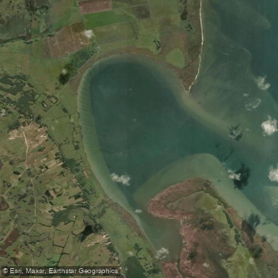
Saco do Silveira
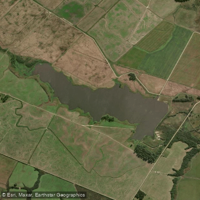
Arroio Retiro
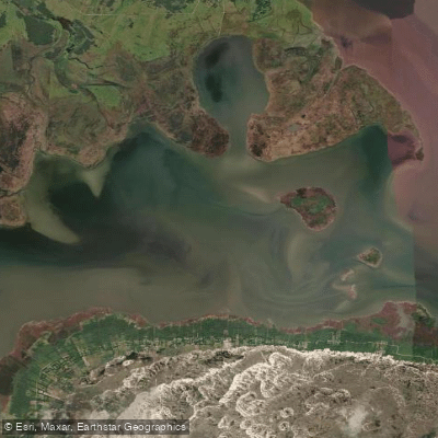
Saco do Arraial
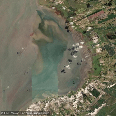
Saco do Mendanha
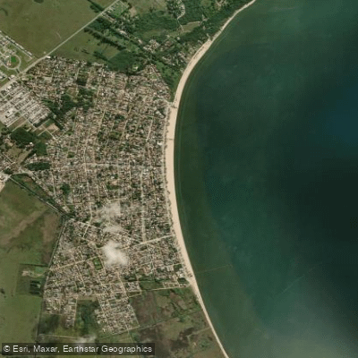
Praia do Laranjal
Explore Rio Grande Do Sul waters
Top paddling waters
No waters available right now.
Popular Cities
Loading popular cities...
Explore near Rio Guaíba
Access points
Nearby waters
More in Rio Grande Do Sul

Smarter Paddling Starts in the App.
Paddleways gives you everything you need to plan smarter, paddle better, and own every trip from first launch to takeout.