Rio Cautário
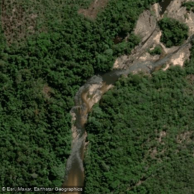
Rio Cautário
- Boat Ramps
- 0
- Access Points
- 0
- Campsites
- 0
The Rio Cautário is a river in the state of Rondônia in western Brazil, flowing as a right tributary into the larger Guaporé River. The river's course is largely encompassed by protected areas, most notably the Rio Cautário Federal Extractive Reserve and the adjacent Rio Cautário State Extractive Reserve. These are conservation units covering a combined area of over 146,000 hectares of Amazonian forest, designed to support sustainable use by local extractive communities. This establishes the river's overall character as a remote, forested waterway within a protected ecosystem, suggesting a paddling experience focused on wilderness and natural observation rather than developed infrastructure. The presence of these reserves indicates that access and activities are likely managed, and paddlers should anticipate regulations aimed at preserving the environment and respecting the traditional practices of approximately 92 families living within the state reserve.
Specific details for paddlers, such as defined access points, recommended routes, seasonal water levels, water temperature, or on-the-water amenities, are not detailed. The river's setting within extensive extractive reserves implies that facilities for recreational paddlers are minimal to non-existent, and trip planning would require direct consultation with reserve management authorities to understand current access permissions, potential hazards, and any seasonal restrictions. The primary sights are the intact Amazonian rainforest and the associated wildlife it supports. The historical and cultural significance of the area is tied to its status as an extractive reserve, a model of conservation that integrates the protection of natural resources with the livelihoods of traditional local populations.
Water access, boat ramps & amenities
Learn how to get on Rio Cautário. Uncover great paddling access points, boat ramps, and all the facilities you need for an unforgettable day on the water. Some locations shown may border or include private property. Always check property boundaries and applicable regulations before visiting. PaddleWays's Public & Private Land layer can help you plan your access with confidence.
Paddle smarter with real-time insights
Whether you're en route and conditions shift or you're looking for the best spot based on current flows, we enable you to make informed decisions on the fly.







Rondônia licenses and regulations
No licenses or regulations available for Rondônia.
Find Places to Paddle

Over 400,000 Places to Paddle
Every user gets free access to launch points, boat ramps, and public property parcels.


Water and weather conditions (10 day forecast)
See the best times to paddle Rio Cautário and check the forecast before you go.
No forecast data available.
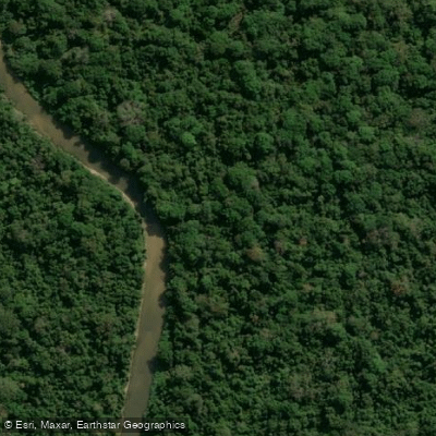
Explore Rondônia waters
Top paddling waters
No waters available right now.
Popular Cities
Loading popular cities...
Explore near Rio Cautário
Nearby waters
More in Rondônia

Smarter Paddling Starts in the App.
Paddleways gives you everything you need to plan smarter, paddle better, and own every trip from first launch to takeout.