Paddling in Rondônia
- Lakes
- 34
- Rivers
- 696
- Access
- 0
- Boat Ramps
- 0
- Shops
- 0
Rondônia sits in the southwestern corner of the Brazilian Amazon, where the land tilts off the edge of the Planalto toward the great lowland river systems draining into the Madeira basin.
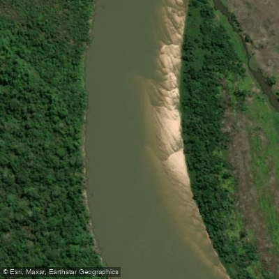
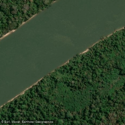
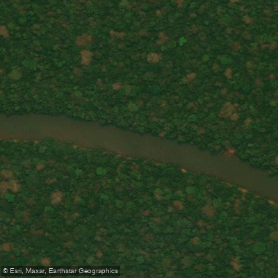
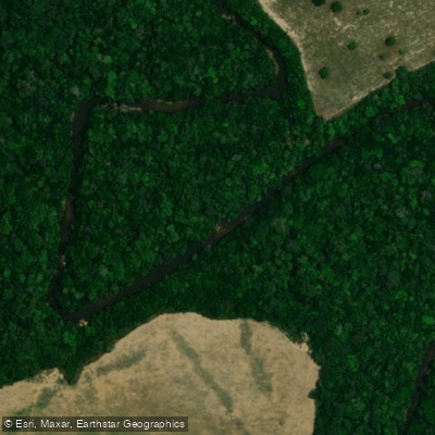
The water here is overwhelmingly flatwater — wide, slow-moving Amazonian rivers threading through dense rainforest — but the state has enough gradient in its western ranges to produce genuine moving water in places.
This is canoe and expedition kayak territory more than creek-boating country, and the rivers are the roads. The Rio Guaporé defines the state's western boundary, running along the border with Bolivia through what is now a biological reserve.
It's a long, remote flatwater corridor — the kind of river where you measure a trip in days, not hours. The Rio Mamoré picks up where the Guaporé leaves off, continuing the lowland theme northward.
Both rivers move through seasonally flooded forest, and the distinction between river and jungle blurs considerably in the wet season, roughly November through April, when water levels rise dramatically and navigation opens into the trees.
The Rio Ji-Paraná, also known as the Machado, cuts across the center of the state and is one of the more accessible rivers in the region.
The Rio Roosevelt, in the state's north, carries the name of Theodore Roosevelt's famous 1914 expedition and remains genuinely remote.
The Rio Pacaás Novos drains the highlands of the same-named national park in the west — one of the few places in Rondônia where terrain and gradient combine to suggest something more than flatwater paddling. Timing matters enormously here.
The dry season, roughly May through October, drops water levels and exposes beaches and banks, making camping and logistics more manageable.
The wet season transforms the landscape entirely — some routes that are impassable in low water open up, while others become dangerously fast or simply disappear into flooded forest.
Paddling in the Amazon basin during peak flood requires real judgment about what you're getting into. Access is the honest challenge. Rondônia's rivers are not set up for casual put-in-and-take-out paddling.
Reaching the more compelling stretches of the Rio Cautário, the Rio Roosevelt, or the upper Guaporé typically means serious logistics — boat shuttles, overland travel on rough roads, or both.
Indigenous territories cover significant portions of the state, and paddlers need to understand and respect those boundaries before planning any route. The rivers themselves are healthy where the forest is intact, and that forest is under real pressure.
Paddling here means traveling through one of the most contested landscapes in South America, where the line between protected reserve and cleared land can shift faster than a map gets updated.
If you come to Rondônia for the paddling, come with time, local knowledge, and a genuine tolerance for uncertainty. The rivers reward that.
Paddle smarter with real-time insights
Whether you're en route and conditions shift or you're looking for the best spot based on current flows, we enable you to make informed decisions on the fly.







Rondônia licenses and regulations
Explore Rondônia waters
Top paddling waters
Popular Cities
Loading popular cities...

Smarter Paddling Starts in the App.
Paddleways gives you everything you need to plan smarter, paddle better, and own every trip from first launch to takeout.