Rio Maú ou Ireng
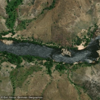
Rio Maú ou Ireng
- Boat Ramps
- 0
- Access Points
- 0
- Campsites
- 0
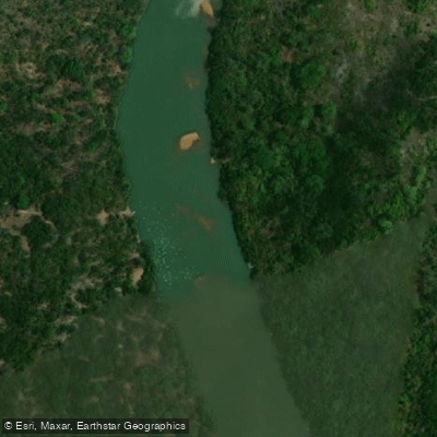
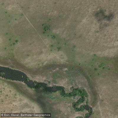
The Rio Maú, also known as the Ireng River, is a significant waterway forming part of the international border between Brazil's state of Roraima and Guyana. It flows for approximately 365 kilometers through the region. The river is situated near the Monte Roraima National Park, a protected area established in 1989, which suggests a setting of significant natural and scenic value. For paddlers planning a trip, resources exist that detail access points, boat ramps, and other necessary facilities to help organize a day on the water. The river's role as a border watercourse and its proximity to a national park imply that paddlers should be prepared for a remote and potentially regulated environment. It is advisable to research specific border zone regulations and any park-specific rules regarding water access prior to embarking. The length of the river allows for extended multi-day expeditions, and the surrounding geography, influenced by its location near the iconic Monte Roraima plateau, likely contributes to a dramatic and unique aesthetic characterized by tabletop mountains and dense tropical landscapes.
Water access, boat ramps & amenities
Learn how to get on Rio Maú ou Ireng. Uncover great paddling access points, boat ramps, and all the facilities you need for an unforgettable day on the water. Some locations shown may border or include private property. Always check property boundaries and applicable regulations before visiting. PaddleWays's Public & Private Land layer can help you plan your access with confidence.
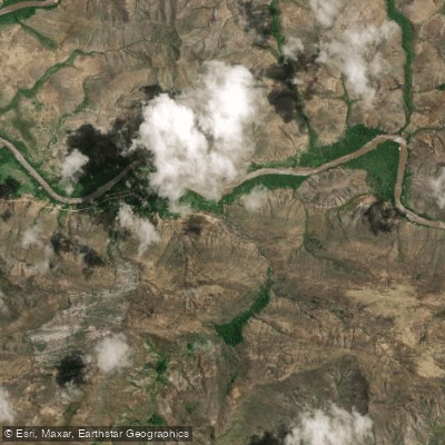
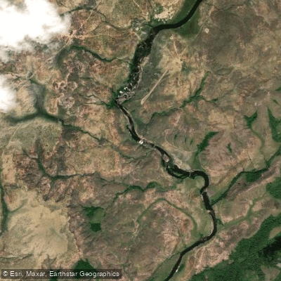
Paddle smarter with real-time insights
Whether you're en route and conditions shift or you're looking for the best spot based on current flows, we enable you to make informed decisions on the fly.







Roraima licenses and regulations
No licenses or regulations available for Roraima.
Find Places to Paddle

Over 400,000 Places to Paddle
Every user gets free access to launch points, boat ramps, and public property parcels.


Water and weather conditions (10 day forecast)
See the best times to paddle Rio Maú ou Ireng and check the forecast before you go.
Rio Maú
Paddling near Rio Maú ou Ireng
Explore Roraima waters
Top paddling waters
No waters available right now.
Popular Cities
Loading popular cities...
Explore near Rio Maú ou Ireng
Nearby waters
More in Roraima

Smarter Paddling Starts in the App.
Paddleways gives you everything you need to plan smarter, paddle better, and own every trip from first launch to takeout.