Paddling in Roraima
- Lakes
- 197
- Rivers
- 1,014
- Access
- 15
- Boat Ramps
- 2
- Shops
- 0
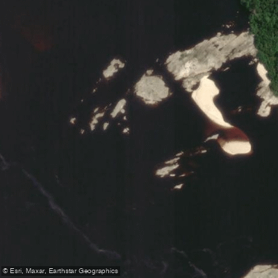
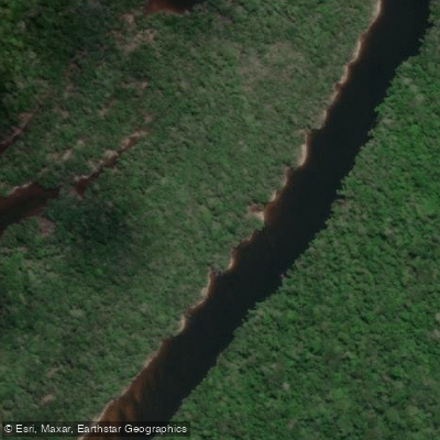
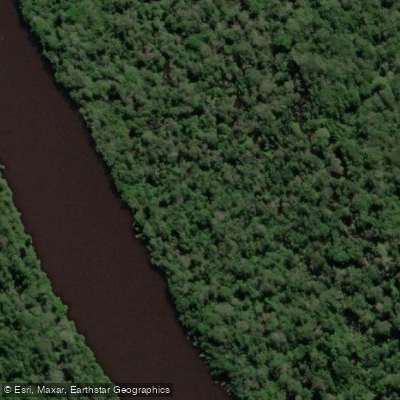
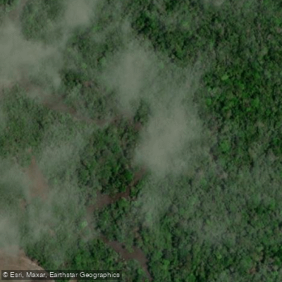
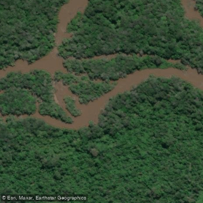
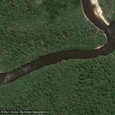
Roraima sits at the top of Brazil, wedged between Venezuela and Guyana, and the paddling here is defined by remote Amazonian blackwater rivers cutting through rainforest and tepui country.
This is not a scene with outfitters on every corner or shuttle services waiting at the takeout. It's expedition territory — long, slow-moving rivers where the logistics are as serious as anything on the water.
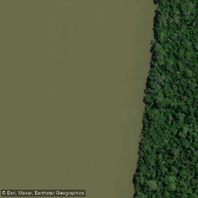
The Rio Branco is the state's dominant waterway and the artery everything else connects to. Draining south toward the Amazon basin, it sets the tone: wide, dark-stained water, minimal gradient, and distances measured in days rather than hours.
The Rio Uraricoera feeds in from the northwest, threading through country that sees almost no recreational paddling traffic. These are rivers where you plan for self-sufficiency.
Further south, the Rio Jauaperi and Rio Jatapu run through some of the most isolated forest in the region, and the Rio Xeriuini and Rio Água Boa do Univini are the kind of tributaries that appear on expedition itineraries rather than weekend trip lists.
Lago do Peladão, an access point on the Rio Itapará, sits roughly 200 kilometres into southern Roraima — a number that tells you something about what getting there involves.
The wet season runs roughly April through September, when water levels rise dramatically and the forest floods into the river margins.
High water opens up routes that would otherwise be impassable, but it also means stronger currents and navigation that demands solid map work. The dry season drops levels and exposes sandbars, which can complicate passage on shallower tributaries.
Indigenous territories cover enormous portions of Roraima, and paddlers need to understand and respect those boundaries before putting in anywhere.
Access permissions are not a formality here — they matter for the communities and for the integrity of the landscape.
The tepui formations visible from some river corridors, the same terrain that drew whitewater kayakers documented by National Geographic on the waterfalls of Santuario, are a reminder that this corner of the Amazon is genuinely unlike anywhere else.
Come here knowing what you're getting into. The rivers are real, the distances are real, and the reward is the kind of paddling that's getting harder to find.
Paddle smarter with real-time insights
Whether you're en route and conditions shift or you're looking for the best spot based on current flows, we enable you to make informed decisions on the fly.







Roraima licenses and regulations
Explore Roraima waters
Top paddling waters
Popular Cities
Loading popular cities...

Smarter Paddling Starts in the App.
Paddleways gives you everything you need to plan smarter, paddle better, and own every trip from first launch to takeout.