Reservatório Paulo De Paiva Castro
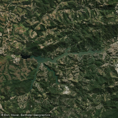
Reservatório Paulo De Paiva Castro
- Boat Ramps
- 0
- Access Points
- 0
- Campsites
- 0
Reservatório Paulo de Paiva Castro, also widely known as Represa do Juqueri, is a reservoir formed by the damming of the Rio Juqueri, situated primarily in the municipality of Mairiporã, with portions extending into Franco da Rocha, in the state of São Paulo, Brazil. Inaugurated in 1973, it forms part of the Cantareira Water Supply System — a network of five interconnected reservoirs connected by tunnels and channels that ultimately supplies the São Paulo Metropolitan Region. The reservoir sits approximately 70 km north of the city of São Paulo, with the main access route being the Fernão Dias highway (BR-381).
In terms of scale, the reservoir covers a surface area of approximately 5.1 km², with a medium depth of around 13 meters and a drainage area of 314 km². For paddlers, the navigable extent is roughly 45 kilometers by kayak or stand-up paddleboard (measuring the full out-and-back distance), making it a substantial body of water for extended day trips. A range of water-based activities takes place on the reservoir, including kayaking, stand-up paddleboarding, pedal boating, wakeboarding, wakesurfing, and sailing, as well as fishing and motorized boat tours.
Water quality is an important consideration for paddlers. The reservoir is an untreated water source within the Cantareira system; the water only receives treatment at the ETA Guaraú facility at the end of its course. As a result, the water in the reservoir is not potable and should not be consumed directly. Visitors to the area swim and fish in the reservoir, and litter, including plastic waste, is deposited along the shoreline and in the water. Paddlers should be aware of these conditions and take appropriate precautions regarding contact with the water.
The reservoir is located in the Serra da Cantareira region, an area characterized by Atlantic Forest vegetation. Local tourism operators in Mairiporã promote the reservoir as a recreational destination, and lodging options with direct water access are available in the vicinity.
Water access, boat ramps & amenities
Learn how to get on Reservatório Paulo De Paiva Castro. Uncover great paddling access points, boat ramps, and all the facilities you need for an unforgettable day on the water. Some locations shown may border or include private property. Always check property boundaries and applicable regulations before visiting. PaddleWays's Public & Private Land layer can help you plan your access with confidence.
Paddle smarter with real-time insights
Whether you're en route and conditions shift or you're looking for the best spot based on current flows, we enable you to make informed decisions on the fly.







São Paulo licenses and regulations
No licenses or regulations available for São Paulo.
Find Places to Paddle

Over 400,000 Places to Paddle
Every user gets free access to launch points, boat ramps, and public property parcels.


Water and weather conditions (10 day forecast)
See the best times to paddle Reservatório Paulo De Paiva Castro and check the forecast before you go.
Pch Cascata Paiva Castro
All Flow Stations
Paddling near Reservatório Paulo De Paiva Castro
Rio Jaguari
Represa Billings
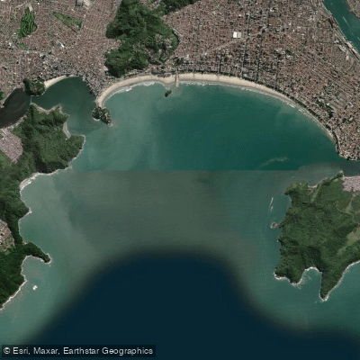
Baía de Santos
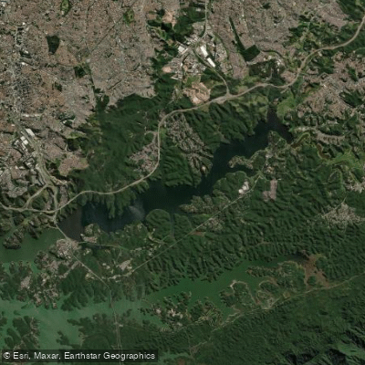
Represa Billings
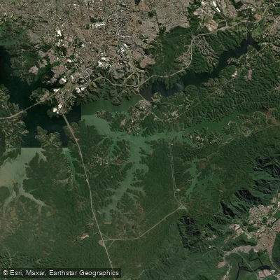
Represa Billings
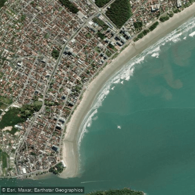
Praia da Enseada de Bertioga
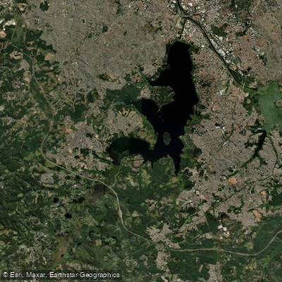
Represa Guarapiranga
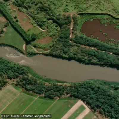
Rio Paraíba do Sul
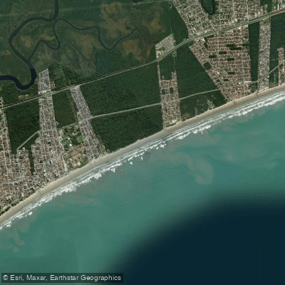
Praia da Vista Linda
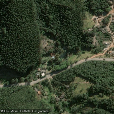
Rio Paraitinga
Explore São Paulo waters
Top paddling waters
No waters available right now.
Popular Cities
Loading popular cities...
Explore near Reservatório Paulo De Paiva Castro
Nearby waters
More in São Paulo

Smarter Paddling Starts in the App.
Paddleways gives you everything you need to plan smarter, paddle better, and own every trip from first launch to takeout.