Praia da Vigorelli
- Saltwater
- Beach
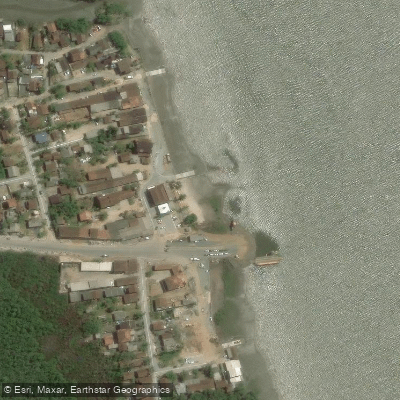
Praia da Vigorelli
- Saltwater
- Beach
- Sq. miles
- 0
- Boat Ramps
- 0
- Access Points
- 0
- Campsites
- 0
Praia da Vigorelli is a beach located on the shores of the Baía da Babitonga in Joinville, Santa Catarina. It is important for paddlers to understand that this is not a traditional sandy beach; the area is a protected mangrove zone, meaning the shoreline consists of mangroves rather than a wide sandy expanse. The beach serves as a departure point for a ferry boat service connecting Joinville to the Distrito do Saí and São Francisco do Sul, indicating it is a recognized access point to the bay. A trapiche, or pier, for vessel mooring exists at the beach, though it has been subject to closures for safety reasons when structural issues arise. The overall vibe is tranquil, with a visually appealing landscape dominated by the mangrove ecosystem.
The water body for paddling is the expansive Baía da Babitonga, a large estuarine system with mixohaline waters that holds the largest concentration of mangroves in Santa Catarina. From Praia da Vigorelli, paddlers can explore the interconnected waterways of the bay. Notably, the Rio Palmital, also known as Canal Três Barras, is a braço, or arm, of the bay that extends north from the beach for over 25 kilometers. This river and the broader bay are almost entirely surrounded by extensive mangrove forests, offering a unique paddling environment through these protected ecosystems. The area is under tidal influence, which is a critical factor for paddlers to consider regarding currents and water depth during launch and navigation. The bay receives water from several river basins, including the Cubatão and Cachoeira rivers, which drain the urban area of Joinville. While the scenic potential is high, pollution in the Rio Cachoeira basin, which flows into the bay, is noted. The beach itself is having an association of residents, suggesting a local community presence, but specific paddler amenities like dedicated parking, restrooms, or rental facilities are not mentioned in the provided information.
Water access, boat ramps & amenities
Learn how to get on Praia da Vigorelli. Uncover great paddling access points, boat ramps, and all the facilities you need for an unforgettable day on the water. Some locations shown may border or include private property. Always check property boundaries and applicable regulations before visiting. PaddleWays's Public & Private Land layer can help you plan your access with confidence.
Paddle smarter with real-time insights
Whether you're en route and conditions shift or you're looking for the best spot based on current flows, we enable you to make informed decisions on the fly.







Santa Catarina licenses and regulations
No licenses or regulations available for Santa Catarina.
Find Places to Paddle

Over 400,000 Places to Paddle
Every user gets free access to launch points, boat ramps, and public property parcels.


Tides, wind & water conditions (10 day forecast)
On open water, wind and tide matter as much as the weather. See the best times to paddle Praia da Vigorelli and check the marine forecast before you launch.
Loading tide predictions…
Paddling near Praia da Vigorelli
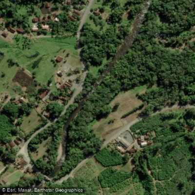
Rio Cubatão
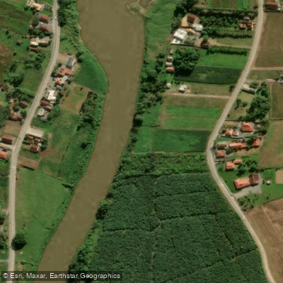
Rio Itapocu
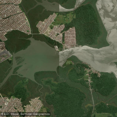
Lagoa do Saguaçu
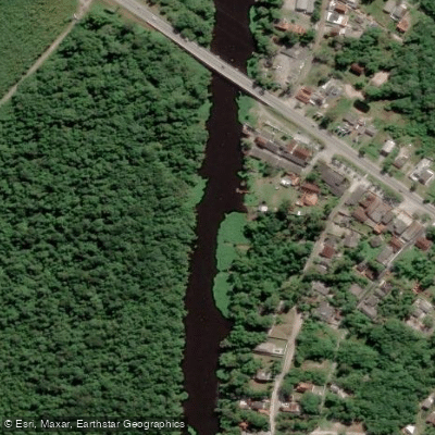
Rio Guaraguaçu
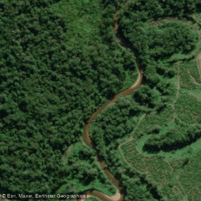
Rio Cubatãozinho
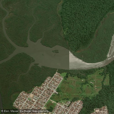
Lagoa do Varador
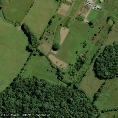
Rio do Braço
Rio Luiz Alves
Rio da Luz
Explore Santa Catarina waters
Top paddling waters
No waters available right now.
Popular Cities
Loading popular cities...
Explore near Praia da Vigorelli

Smarter Paddling Starts in the App.
Paddleways gives you everything you need to plan smarter, paddle better, and own every trip from first launch to takeout.