Rio Itapocu
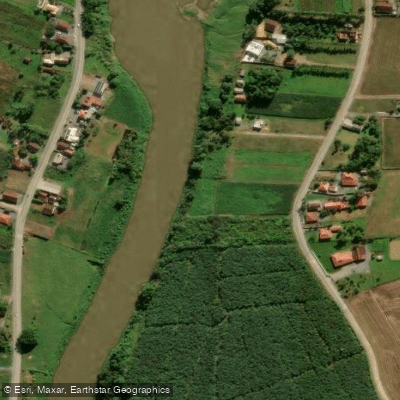
Rio Itapocu
- Boat Ramps
- 0
- Access Points
- 1
- Campsites
- 0
The Rio Itapocu is a coastal river in northeastern Santa Catarina state, flowing eastward approximately 89 km from the Serra do Mar highlands to the Atlantic Ocean. It originates at the confluence of the Rio Novo and the Rio Humboldt in the municipality of Corupá, passes through the industrial city of Jaraguá do Sul, and empties into the sea near Barra Velha, where it connects to the Barra Velha lagoon and forms the boundary between the municipalities of Barra Velha and Araquarí. The drainage basin covers 2,919 km² entirely within Santa Catarina, encompassing 12 municipalities including Corupá, Jaraguá do Sul, Schroeder, Guaramirim, and Massaranduba.
The river sits within the Atlantic Forest (Mata Atlântica) biome, and its lower reaches transition into estuarine environments with mangroves and sandy shores. The Barra Velha lagoon, connected to the estuary, supports mangrove habitat where wetland bird species including the bicudinho-do-brejo (Stymphalornis acutirostris) can be observed. The Barra do Itapocu estuary area is a focal point for both wildlife and recreational activity.
One documented kayaking route runs 10.5 km from the Rio Itapocu to the Rio Piraí near Itaperiú, passing through calm waters and suitable for beginners, with an estimated paddling time of approximately 2 to 3 hours. Sport fishing is also popular along the river, particularly in the Barra do Itapocu estuary area, where anglers target robalo (Centropomus spp.) from kayaks and riverbanks. Fishbrain data logs 50 catches on the Rio Itapocu, with fat snook, gafftopsail sea catfish, and redbreast tilapia among the top recorded species.
A 6.8 km out-and-back hiking trail at Barra do Itapocu provides easy access to the river mouth, with minimal elevation gain of approximately 38 meters, and offers opportunities for birdwatching along the sandy shores and mangroves adjacent to paddling areas. Accommodation options exist in the Barra do Itapocu and Araquarí area, including properties with direct river or lagoon access and boat ramps, which may be useful for paddlers seeking a base for multi-day exploration of the lower river and estuarine zone.
Water access, boat ramps & amenities
Learn how to get on Rio Itapocu. Uncover great paddling access points, boat ramps, and all the facilities you need for an unforgettable day on the water. Some locations shown may border or include private property. Always check property boundaries and applicable regulations before visiting. PaddleWays's Public & Private Land layer can help you plan your access with confidence.
Paddle smarter with real-time insights
Whether you're en route and conditions shift or you're looking for the best spot based on current flows, we enable you to make informed decisions on the fly.







Santa Catarina licenses and regulations
No licenses or regulations available for Santa Catarina.
Find Places to Paddle

Over 400,000 Places to Paddle
Every user gets free access to launch points, boat ramps, and public property parcels.


Water and weather conditions (10 day forecast)
See the best times to paddle Rio Itapocu and check the forecast before you go.
Jaraguá Do Sul
All Flow Stations
Paddling near Rio Itapocu
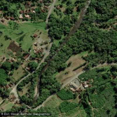
Rio Cubatão
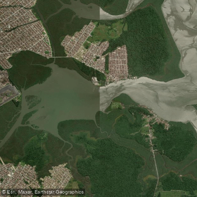
Lagoa do Saguaçu
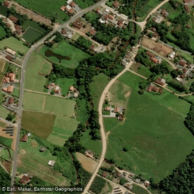
Rio da Luz
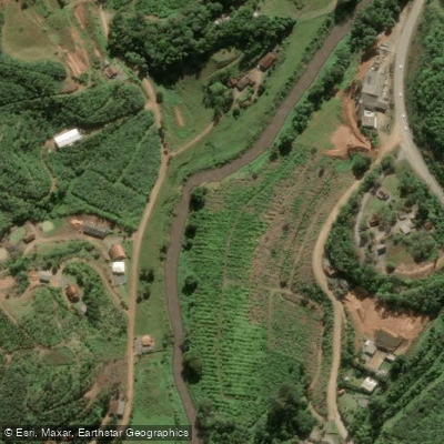
Rio Luiz Alves
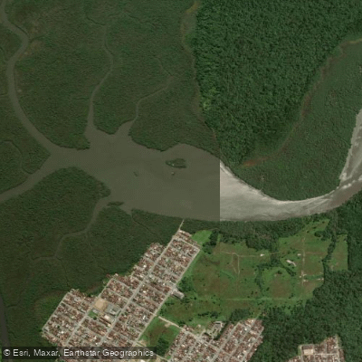
Lagoa do Varador
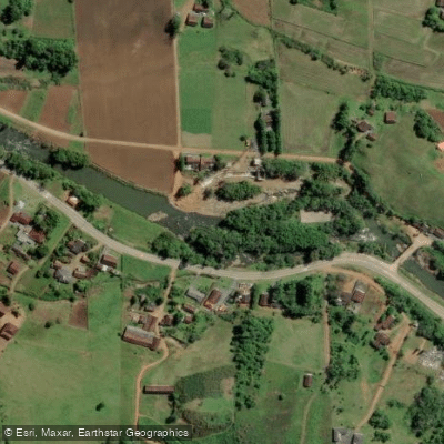
Rio dos Cedros
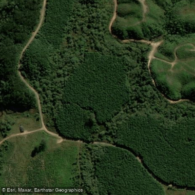
Rio Vermelho
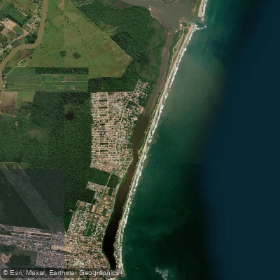
Lagoa de Barra Velha
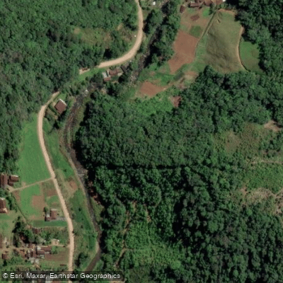
Rio Ada
Explore Santa Catarina waters
Top paddling waters
No waters available right now.
Popular Cities
Loading popular cities...
Explore near Rio Itapocu
Access points
Nearby waters
More in Santa Catarina

Smarter Paddling Starts in the App.
Paddleways gives you everything you need to plan smarter, paddle better, and own every trip from first launch to takeout.