Rio do Bispo

Rio do Bispo
- Boat Ramps
- 0
- Access Points
- 0
- Campsites
- 0
The Rio do Bispo is a watercourse located in the municipality of Urubici, within the state of Santa Catarina, Brazil. It flows through a region that is part of the Atlantic Forest biome and lies within the vicinity of the Parque Nacional de São Joaquim. The river's character is shaped by its passage through diverse landscapes, including open fields and areas of native araucaria forest, as well as sections with eucalyptus plantations. A primary access point for reaching the river is via the SC-370 highway. From there, a turn onto the Rio do Bispo road leads approximately 2 kilometers to the Sítio Terras do Sul property. Another common approach is to travel 18 kilometers on the SC-370 from the ICMBio administrative headquarters in Urubici, heading towards the Serra do Corvo Branco, and then turning right onto an access road. The area is known for its scenic natural features, including waterfalls such as the Cachoeira Arroio Boca da Serra, which are accessible via trails that follow the river. The region's aesthetic is defined by the mountainous terrain of the Serra Geral and the distinctive, ancient araucaria trees. As the river is situated within a national park, paddlers must be aware of and comply with all regulations set by ICMBio, the federal environmental agency responsible for managing the park.
Water access, boat ramps & amenities
Learn how to get on Rio do Bispo. Uncover great paddling access points, boat ramps, and all the facilities you need for an unforgettable day on the water. Some locations shown may border or include private property. Always check property boundaries and applicable regulations before visiting. PaddleWays's Public & Private Land layer can help you plan your access with confidence.
Paddle smarter with real-time insights
Whether you're en route and conditions shift or you're looking for the best spot based on current flows, we enable you to make informed decisions on the fly.







Santa Catarina licenses and regulations
No licenses or regulations available for Santa Catarina.
Find Places to Paddle

Over 400,000 Places to Paddle
Every user gets free access to launch points, boat ramps, and public property parcels.


Water and weather conditions (10 day forecast)
See the best times to paddle Rio do Bispo and check the forecast before you go.
No forecast data available.
Paddling near Rio do Bispo
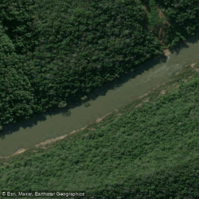
Rio das Antas

Rio Amola Faca

Praia do Rincão
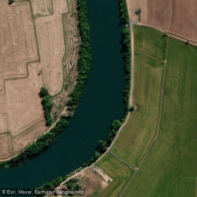
Rio Araranguá
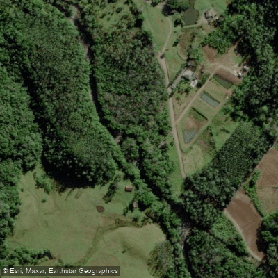
Rio da Rocinha
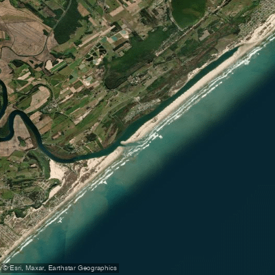
Praia Morro dos Conventos
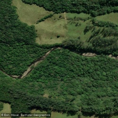
Rio da Rocinha
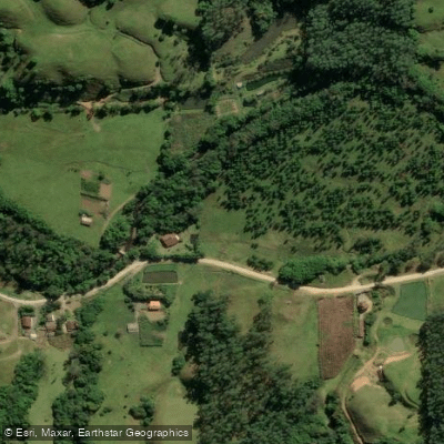
Rio Bonito
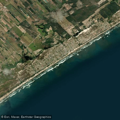
Praia da Esplanada
Rio da Serrinha
Explore Santa Catarina waters
Top paddling waters
No waters available right now.
Popular Cities
Loading popular cities...
Explore near Rio do Bispo

Smarter Paddling Starts in the App.
Paddleways gives you everything you need to plan smarter, paddle better, and own every trip from first launch to takeout.