Rio dos Cedros
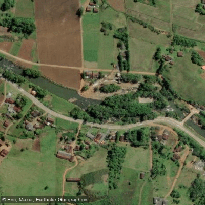
Rio dos Cedros
- Boat Ramps
- 0
- Access Points
- 0
- Campsites
- 0
The Rio dos Cedros is a rocky whitewater river in the Vale do Itajaí region of Santa Catarina, Brazil, draining a large watershed that keeps it flowing reliably through most of the year. The river offers multiple distinct sections ranging from Class 3+ to Class 5+, making it a destination primarily suited to experienced and expert paddlers.
The uppermost documented section begins at a dam (put-in GPS: -26.655205, -49.350480) and runs to a power station (take-out GPS: -26.661302, -49.333097). Rated Class 5+, this stretch is typically dewatered due to dam operations and features an auto-boof park and huck at the dam structure, with the remainder a sieve pile — a serious hazard requiring careful assessment before attempting.
Immediately downstream, a Class 5 section runs from a historic bridge (put-in GPS: -26.672413, -49.321298) to a small footbridge (take-out GPS: -26.672479, -49.320826) — a very short stretch. This section contains one massive sieve that is usually portaged river right, along with two boulder garden rapids. The historic bridge also serves as a landmark, with a kayak bar located just upstream.
A lower Class 3+ section puts in at the small footbridge (-26.684112, -49.313533) and takes out at a private, kayaker-owned farm (-26.701225, -49.287495). This stretch serves as a suitable warm-up run for the river's upper sections, or a cool-down after them, and reflects the river's generally rocky character throughout.
The gauge for the Rio dos Cedros is offline, so flow assessment relies on visual inspection. Given the large watershed, the river typically flows year-round. Paddlers should be aware that sieves are a recurring hazard on this river, particularly on the upper sections. The take-out for the lower section is on private property belonging to a kayaker, so access arrangements should be confirmed in advance.
Water access, boat ramps & amenities
Learn how to get on Rio dos Cedros. Uncover great paddling access points, boat ramps, and all the facilities you need for an unforgettable day on the water. Some locations shown may border or include private property. Always check property boundaries and applicable regulations before visiting. PaddleWays's Public & Private Land layer can help you plan your access with confidence.
Paddle smarter with real-time insights
Whether you're en route and conditions shift or you're looking for the best spot based on current flows, we enable you to make informed decisions on the fly.







Santa Catarina licenses and regulations
No licenses or regulations available for Santa Catarina.
Find Places to Paddle

Over 400,000 Places to Paddle
Every user gets free access to launch points, boat ramps, and public property parcels.


Water and weather conditions (10 day forecast)
See the best times to paddle Rio dos Cedros and check the forecast before you go.
Palmeiras Jusante
All Flow Stations
Paddling near Rio dos Cedros
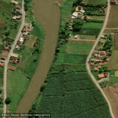
Rio Itapocu
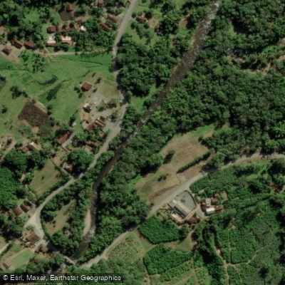
Rio Cubatão
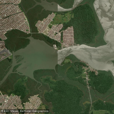
Lagoa do Saguaçu
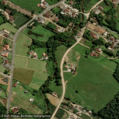
Rio da Luz
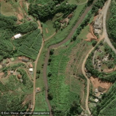
Rio Luiz Alves
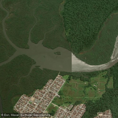
Lagoa do Varador
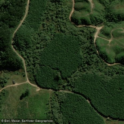
Rio Vermelho
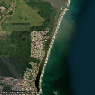
Lagoa de Barra Velha
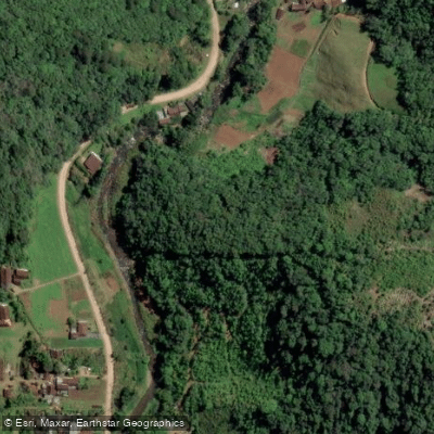
Rio Ada
Explore Santa Catarina waters
Top paddling waters
No waters available right now.
Popular Cities
Loading popular cities...
Explore near Rio dos Cedros
Nearby waters
More in Santa Catarina

Smarter Paddling Starts in the App.
Paddleways gives you everything you need to plan smarter, paddle better, and own every trip from first launch to takeout.