Represa Cachoeira Da França
Represa Cachoeira Da França
- Boat Ramps
- 0
- Access Points
- 0
- Campsites
- 0
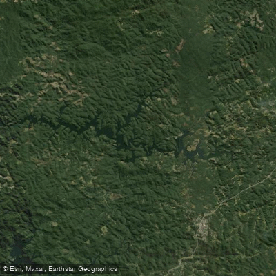
Represa Cachoeira da França is a reservoir located in Juquitiba, in the state of São Paulo, formed by a dam that stands 10 meters high and 200 meters in length. The reservoir is part of the Sistema Produtor São Lourenço, operated by Sabesp, and contributes up to 4,700 liters per second to the water supply of part of Greater São Paulo. Despite its role as water infrastructure, it has developed into a notable recreational destination in the region.
The reservoir is surrounded by Atlantic Forest vegetation, which lines its margins and provides a visually distinctive backdrop for paddlers. Kayaking is among the activities practiced on the water, alongside boat tours, jet skiing, and motorized craft — paddlers should be aware that motorized vessels share the water, which may affect the experience depending on traffic levels.
The fishery is well established, with species including tilápia, traíra, pacu, and tucunaré present in the water. Fishing from kayaks is a common practice here, and the reservoir attracts sport fishing visitors regularly. The presence of submerged and marginal vegetation, typical of tucunaré habitat, is a notable feature of the water body's character.
The reservoir is considered one of the more scenic in the state of São Paulo, with the surrounding Atlantic Forest contributing to its natural appeal. Its proximity to the city of São Paulo makes it a frequently visited destination, and it ranks among the top attractions in Juquitiba. Accommodation and tourism infrastructure exist in the area, and local operators offer guided tours and reservations for activities on and around the reservoir. The town of Juquitiba serves as the primary base for access, with the reservoir reachable from the municipal area.
Water access, boat ramps & amenities
Learn how to get on Represa Cachoeira Da França. Uncover great paddling access points, boat ramps, and all the facilities you need for an unforgettable day on the water. Some locations shown may border or include private property. Always check property boundaries and applicable regulations before visiting. PaddleWays's Public & Private Land layer can help you plan your access with confidence.
Paddle smarter with real-time insights
Whether you're en route and conditions shift or you're looking for the best spot based on current flows, we enable you to make informed decisions on the fly.







São Paulo licenses and regulations
No licenses or regulations available for São Paulo.
Find Places to Paddle

Over 400,000 Places to Paddle
Every user gets free access to launch points, boat ramps, and public property parcels.


Water and weather conditions (10 day forecast)
See the best times to paddle Represa Cachoeira Da França and check the forecast before you go.
Reservatório Cachoeira De França
All Flow Stations
Paddling near Represa Cachoeira Da França
Represa De Itupararanga
Ribeirão Pirapitingui
Rio do Peixe
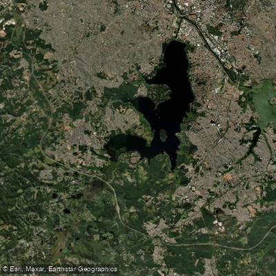
Represa Guarapiranga
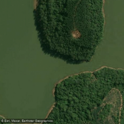
Rio do Turvo
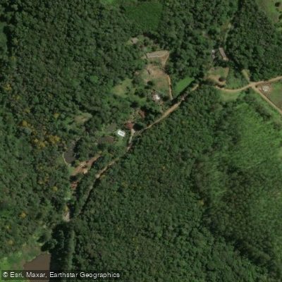
Ribeirão Grande
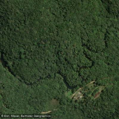
Rio Juquiá
Ribeirão das Furnas
Ribeirão do Pinhal
Explore São Paulo waters
Top paddling waters
No waters available right now.
Popular Cities
Loading popular cities...
Explore near Represa Cachoeira Da França

Smarter Paddling Starts in the App.
Paddleways gives you everything you need to plan smarter, paddle better, and own every trip from first launch to takeout.