Represa Do Rio Paraibuna
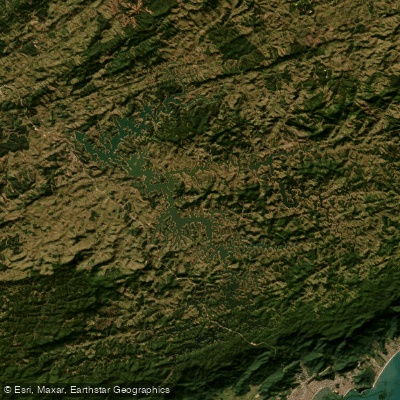
Represa Do Rio Paraibuna
- Boat Ramps
- 0
- Access Points
- 0
- Campsites
- 1
Represa de Paraibuna is a large reservoir in the Paraíba Valley of São Paulo state, formed by the damming of the Rio Paraitinga and Rio Paraibuna. The reservoir holds approximately 5 billion cubic meters of water and stretches across roughly 760 kilometers of shoreline, covering about 1.5 square miles of surface area. Its primary function is regulating the flow of the Rio Paraíba do Sul, though it also serves hydroelectric generation.
The water quality here is notably high — classified as Type 1, meaning it is free of pollutants. The reservoir was recognized at the ECO 92 referendum as the best ecologically preserved reservoir in Brazil. The water is clean and clear, and the surrounding landscape includes intact Atlantic Forest (Mata Atlântica) vegetation. The reservoir contains 204 catalogued islands, many of which support preserved flora and fauna, making navigation through the numerous arms and channels visually interesting but potentially disorienting.
Paddling is an established activity on the reservoir, with canoeing and kayaking explicitly supported alongside sailing, motorboat excursions, and other water sports. A highlighted kayak route runs approximately 25 kilometers from Paraibuna to Natividade da Serra, passing through clean water with minimal boat traffic and opportunities for wildlife observation. The many islands and branching arms of the reservoir make it easy to lose one's bearings, so carrying a physical map rather than relying solely on GPS is strongly advised.
Access to the reservoir is primarily via dirt roads that run along its edges. These roads can be uneven, and a vehicle with reasonable ground clearance is recommended to reach launch points and viewpoints. There is no entrance fee for general access to the reservoir's shores, and no set operating hours — though daylight is advisable for safe navigation given the complexity of the waterway.
The reservoir sits within the Mananciais do Rio Paraíba do Sul Environmental Protection Area, established in 1982 to protect the headwaters of the Paraíba do Sul river system. Paddlers should be aware of Brazilian boating regulations, which require recreational vessels to be registered with the Brazilian Navy (DPC) and to carry a valid Vessel Inscription Title (TIE/TIEM) before operating on Brazilian waters.
Water access, boat ramps & amenities
Learn how to get on Represa Do Rio Paraibuna. Uncover great paddling access points, boat ramps, and all the facilities you need for an unforgettable day on the water. Some locations shown may border or include private property. Always check property boundaries and applicable regulations before visiting. PaddleWays's Public & Private Land layer can help you plan your access with confidence.
Paddle smarter with real-time insights
Whether you're en route and conditions shift or you're looking for the best spot based on current flows, we enable you to make informed decisions on the fly.







São Paulo licenses and regulations
No licenses or regulations available for São Paulo.
Find Places to Paddle

Over 400,000 Places to Paddle
Every user gets free access to launch points, boat ramps, and public property parcels.


Water and weather conditions (10 day forecast)
See the best times to paddle Represa Do Rio Paraibuna and check the forecast before you go.
Olaria
All Flow Stations
Paddling near Represa Do Rio Paraibuna
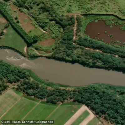
Rio Paraíba do Sul
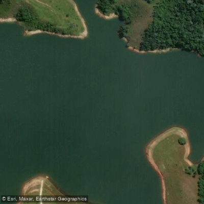
Rio Jaguari
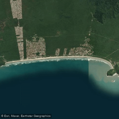
Praia da Boracéia
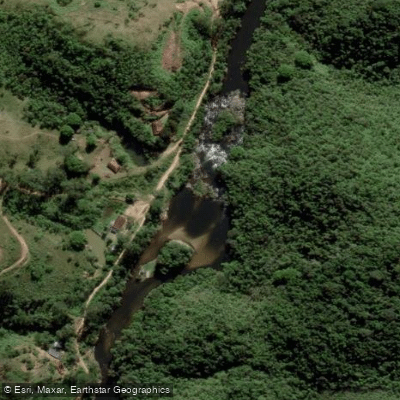
Rio Paraibuna
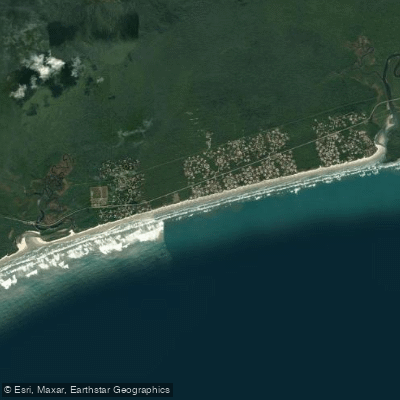
Praia de Guaratuba
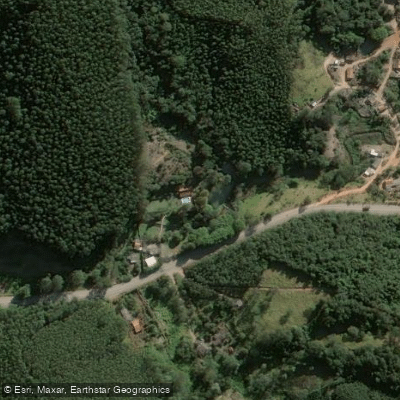
Rio Paraitinga
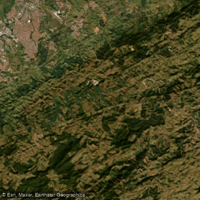
Represa Santa Branca
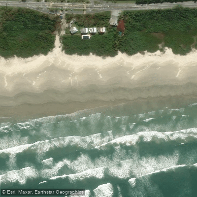
Praia de Boracéia
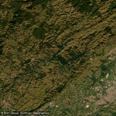
Represa Do Rio Jaguari
Explore São Paulo waters
Top paddling waters
No waters available right now.
Popular Cities
Loading popular cities...
Explore near Represa Do Rio Paraibuna
Access points
Nearby waters
More in São Paulo

Smarter Paddling Starts in the App.
Paddleways gives you everything you need to plan smarter, paddle better, and own every trip from first launch to takeout.