Rio de Piracicaba
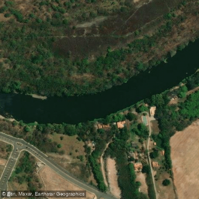
Rio de Piracicaba
- Boat Ramps
- 0
- Access Points
- 0
- Campsites
- 0
The Rio de Piracicaba is a 115-kilometer river in the interior of São Paulo state, formed at the confluence of the Atibaia and Jaguari rivers in the municipality of Americana. From there it flows generally westward, passing through the city of Piracicaba — where it receives its principal tributary, the Corumbataí River — before emptying into the Tietê River within the reservoir created by the Barra Bonita Dam, between the municipalities of Santa Maria da Serra and Barra Bonita. The river's basin covers approximately 12,531 km², spanning the southeastern portion of São Paulo state and the extreme southern edge of Minas Gerais.
The river's name derives from a Tupi expression meaning "place where the fish stops," a reference to its pronounced meanders. Those meanders are a defining characteristic of the lower reach: the winding course downstream of the city of Piracicaba is suitable for navigation by small boats, making that stretch the most relevant section for paddlers. The city of Piracicaba itself sits roughly 150 km northwest of the state capital, São Paulo, and has historical ties to the river dating to its founding in 1767.
The post-Piracicaba meanders offer the best paddling opportunities, though conditions vary with the season and water levels. Paddlers should be aware of the transition near the Barra Bonita Dam, where the river flows into the reservoir backwater and the character of the paddling changes significantly. Local knowledge is essential for planning a trip, particularly regarding current water conditions and any hazards specific to your intended route.
Water access, boat ramps & amenities
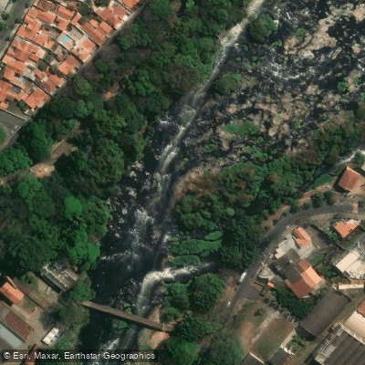
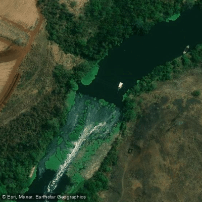
Learn how to get on Rio de Piracicaba. Uncover great paddling access points, boat ramps, and all the facilities you need for an unforgettable day on the water. Some locations shown may border or include private property. Always check property boundaries and applicable regulations before visiting. PaddleWays's Public & Private Land layer can help you plan your access with confidence.
Paddle smarter with real-time insights
Whether you're en route and conditions shift or you're looking for the best spot based on current flows, we enable you to make informed decisions on the fly.







São Paulo licenses and regulations
No licenses or regulations available for São Paulo.
Find Places to Paddle

Over 400,000 Places to Paddle
Every user gets free access to launch points, boat ramps, and public property parcels.


Water and weather conditions (10 day forecast)
See the best times to paddle Rio de Piracicaba and check the forecast before you go.
Rio Piracicaba (1Km. Jus. Rib. Quilombo)
All Flow Stations
Paddling near Rio de Piracicaba
Ribeirão das Pedras
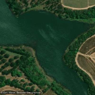
Ribeirão dos Toledos
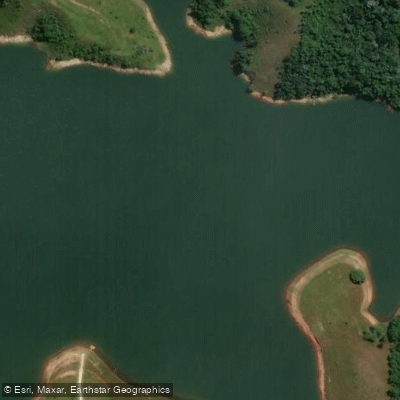
Rio Jaguari
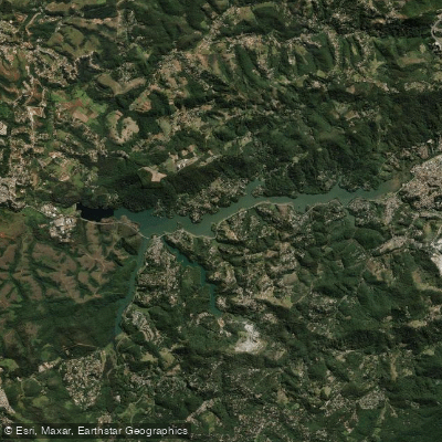
Reservatório Paulo De Paiva Castro

Ribeirão Pirapitingui
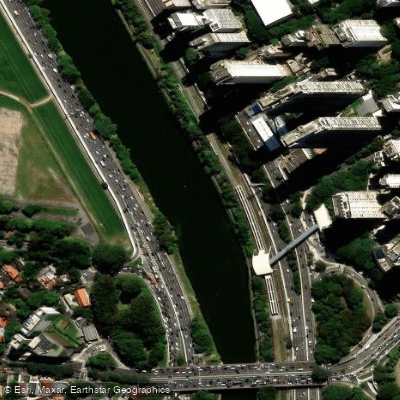
Rio Pinheiros
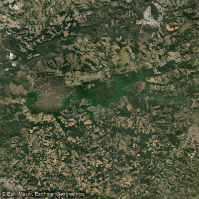
Represa De Itupararanga
Ribeirão Água Vermelha
Ribeirão do Pinhal
Explore São Paulo waters
Top paddling waters
No waters available right now.
Popular Cities
Loading popular cities...
Explore near Rio de Piracicaba

Smarter Paddling Starts in the App.
Paddleways gives you everything you need to plan smarter, paddle better, and own every trip from first launch to takeout.