Rio Itapanhau
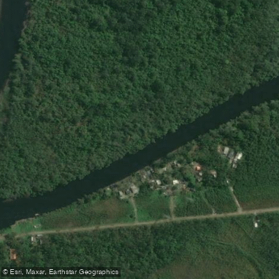
Rio Itapanhau
- Boat Ramps
- 0
- Access Points
- 0
- Campsites
- 3
The Rio Itapanhaú is a coastal river in the state of São Paulo, southeastern Brazil, flowing into the Atlantic Ocean near the municipality of Bertioga. Its mouth is located at approximately 23°51′S, 46°10′W, where the river meets the sea and forms a popular area for swimming and bathing. The river passes through an extensive mangrove ecosystem, and the combination of tidal influence and estuarine character gives it a distinctly coastal feel.
Kayaking is a well-established activity on the river and is considered one of the better ways to explore the mangrove environment at close range. Boat tours also operate on the water, with some departing from Marina Porto Bertioga. Paddlers should be aware that sandbanks are numerous throughout the river, and caution is warranted when navigating by kayak or small boat, as these features can appear unexpectedly and shift with tidal conditions.
The mangrove corridor is the primary natural attraction along the river. The ecosystem supports three distinct mangrove species and associated wildlife, including fiddler crabs and raccoons, as well as a variety of bird species. The river also supports a notable fishery, with fat snook, common snook, Atlantic croaker, milkspotted puffer, gafftopsail sea catfish, and southern yellowtail amberjack among the species recorded there.
Access to the mangrove interior typically requires navigating the river itself, as much of the area is not reachable by land. Local tour operators offer guided excursions, and booking in advance is advisable during peak seasons. Some guided trips begin with a river crossing by boat before transitioning into the mangrove trails.
The Rio Itapanhaú Manguezal is a natural area rather than a formally managed park, so there is no general entrance fee, though costs apply to organized boat tours and guided activities. Paddlers interested in supporting the local environment are encouraged to engage with eco-tourism initiatives operating in the area.
Water access, boat ramps & amenities
Learn how to get on Rio Itapanhau. Uncover great paddling access points, boat ramps, and all the facilities you need for an unforgettable day on the water. Some locations shown may border or include private property. Always check property boundaries and applicable regulations before visiting. PaddleWays's Public & Private Land layer can help you plan your access with confidence.
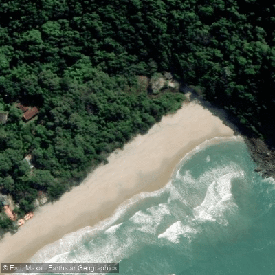
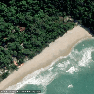
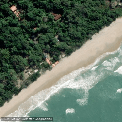
Paddle smarter with real-time insights
Whether you're en route and conditions shift or you're looking for the best spot based on current flows, we enable you to make informed decisions on the fly.







São Paulo licenses and regulations
No licenses or regulations available for São Paulo.
Find Places to Paddle

Over 400,000 Places to Paddle
Every user gets free access to launch points, boat ramps, and public property parcels.


Water and weather conditions (10 day forecast)
See the best times to paddle Rio Itapanhau and check the forecast before you go.
Bertioga
All Flow Stations
Paddling near Rio Itapanhau
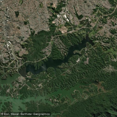
Represa Billings
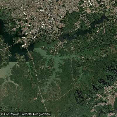
Represa Billings
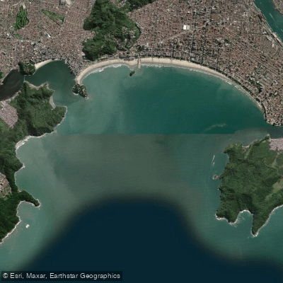
Baía de Santos
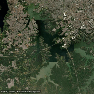
Represa Billings
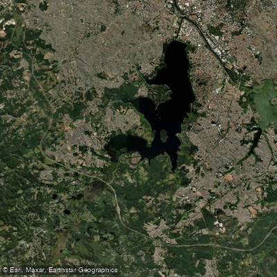
Represa Guarapiranga
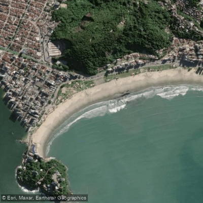
Praia do Itararé
Rio Jaguari
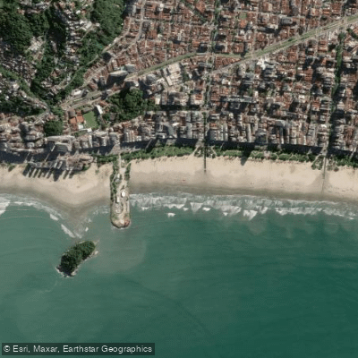
Praia do José Menino
Rio Paraitinga
Explore São Paulo waters
Top paddling waters
No waters available right now.
Popular Cities
Loading popular cities...
Explore near Rio Itapanhau

Smarter Paddling Starts in the App.
Paddleways gives you everything you need to plan smarter, paddle better, and own every trip from first launch to takeout.