Rio Pium
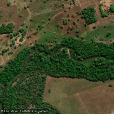
Rio Pium
- Boat Ramps
- 0
- Access Points
- 0
- Campsites
- 0
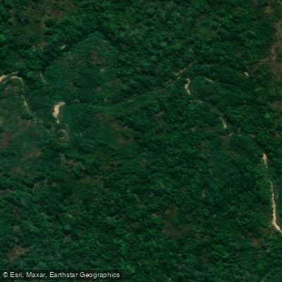
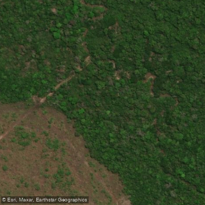
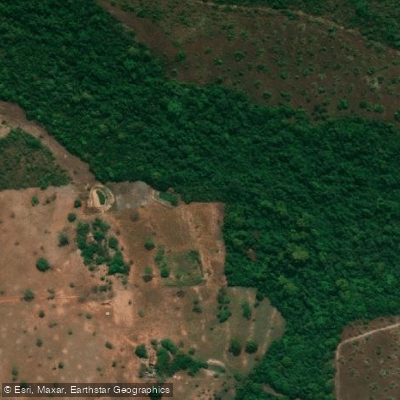
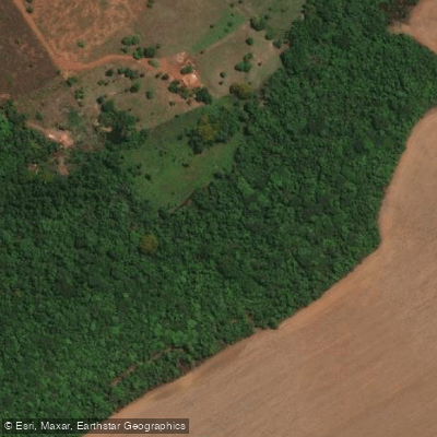
The Rio Pium is a river located in the state of Tocantins in central Brazil. It is a tributary of the Javaés River, which is part of the Araguaia River basin. Its geographic coordinates are approximately 10°23′S 49°50′W. The river is characterized as a stream. Resources exist that map access points and distinguish between private and public land boundaries to aid in trip planning. The overall character of the paddling experience on the Rio Pium is not explicitly described. Similarly, no specific details are available regarding recommended routes, day trips, seasonal water temperatures, water quality, or facilities and amenities directly on the river. The river is known as a destination for fishing, which suggests it is a navigable water body, but no paddling-specific regulations or restrictions are mentioned. The aesthetic appearance, notable sights, wildlife, and any historical or cultural significance of the Rio Pium are not covered. Information on major hazards, safety considerations, and the best seasons or times of day for paddling is also absent.
Water access, boat ramps & amenities
Learn how to get on Rio Pium. Uncover great paddling access points, boat ramps, and all the facilities you need for an unforgettable day on the water. Some locations shown may border or include private property. Always check property boundaries and applicable regulations before visiting. PaddleWays's Public & Private Land layer can help you plan your access with confidence.
Paddle smarter with real-time insights
Whether you're en route and conditions shift or you're looking for the best spot based on current flows, we enable you to make informed decisions on the fly.







Tocantins licenses and regulations
No licenses or regulations available for Tocantins.
Find Places to Paddle

Over 400,000 Places to Paddle
Every user gets free access to launch points, boat ramps, and public property parcels.


Water and weather conditions (10 day forecast)
See the best times to paddle Rio Pium and check the forecast before you go.
Montante Ponte Rio Pium
All Flow Stations
Paddling near Rio Pium
Explore Tocantins waters
Top paddling waters
No waters available right now.
Popular Cities
Loading popular cities...
Explore near Rio Pium

Smarter Paddling Starts in the App.
Paddleways gives you everything you need to plan smarter, paddle better, and own every trip from first launch to takeout.