Paddling in Tocantins
- Lakes
- 126
- Rivers
- 598
- Access
- 0
- Boat Ramps
- 0
- Shops
- 0
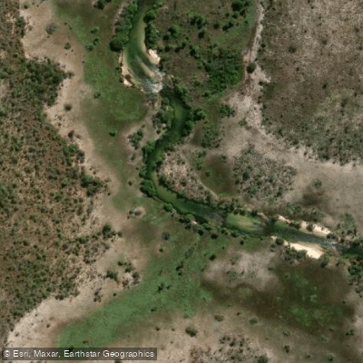
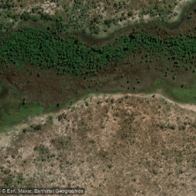
Tocantins sits in the geographic center of Brazil, a vast cerrado state where rivers drain through savanna, gallery forest, and wetland on their way north.
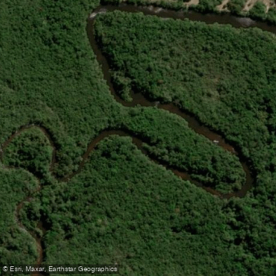
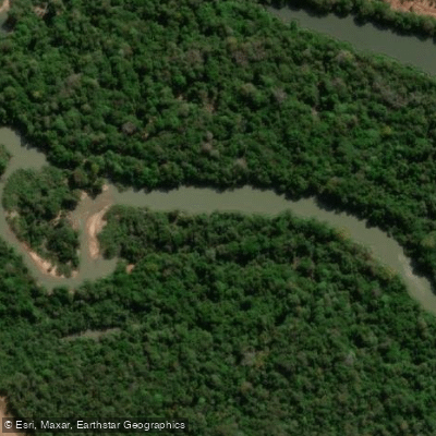
The paddling here is overwhelmingly flatwater and moving water — long, warm rivers running through remote country, with the occasional whitewater exception.
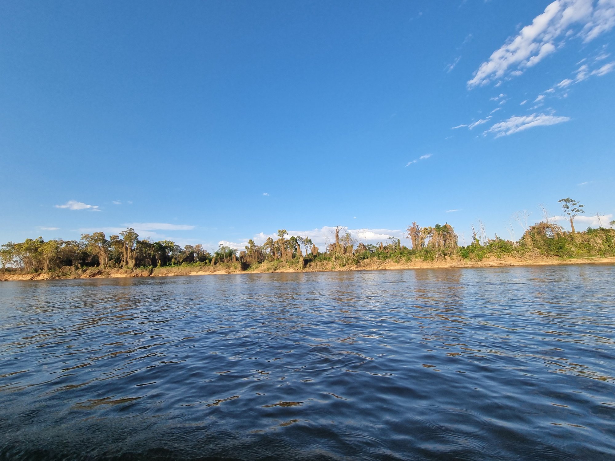
This is not a scene built around playboats and hydraulics; it's built around distance, wildlife, and the kind of solitude that comes from being genuinely far from anywhere. The Rio Araguaia is the river most paddlers come for.
It forms the state's western boundary and carries the kind of volume and character that rewards multi-day trips.
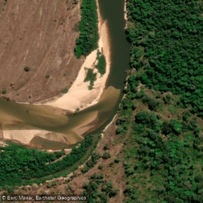
The dry season — roughly May through September — drops water levels and exposes the white sandbars that make camping along the Araguaia one of the more distinctive experiences in Brazilian paddling.
The Rio Javaés, which branches off to form Ilha do Bananal, adds another dimension to that western corridor: slower, more intimate water threading through one of the largest river islands on earth.
To the east, the Jalapão region draws a different kind of paddler. The Rio Novo and Rio Soninho run through the Jalapão State Park, where the water is strikingly clear — the kind of transparency that makes you second-guess your depth perception.
Kayaking and canoeing here typically happen as part of guided ecotourism trips into the park's interior, and access to the park itself is managed; check current entry requirements with the relevant state authority before planning a trip.
Near Palmas, the state capital, the Ribeirão Taquaruçu Grande and its associated waterfalls offer a shorter outing — more of an afternoon paddle than an expedition, but a good way to read the local water before heading deeper into the state.
The wet season, roughly October through April, transforms the landscape: rivers rise, floodplains fill, and some routes become impassable while others open up. Timing matters here more than in most places.
The Araguaia in flood is a different river entirely from the Araguaia in low water, and the sandbars that define dry-season camping simply disappear.
Tocantins rewards paddlers who are comfortable with self-sufficiency, heat, and long stretches between put-ins and take-outs. The rivers are the infrastructure here — and that's exactly the point.
Paddle smarter with real-time insights
Whether you're en route and conditions shift or you're looking for the best spot based on current flows, we enable you to make informed decisions on the fly.







Tocantins licenses and regulations
Explore Tocantins waters
Top paddling waters
Popular Cities
Loading popular cities...

Smarter Paddling Starts in the App.
Paddleways gives you everything you need to plan smarter, paddle better, and own every trip from first launch to takeout.