Rio Santo Antônio
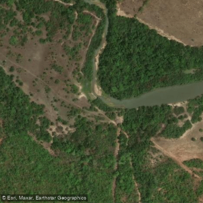
Rio Santo Antônio
- Boat Ramps
- 0
- Access Points
- 0
- Campsites
- 0
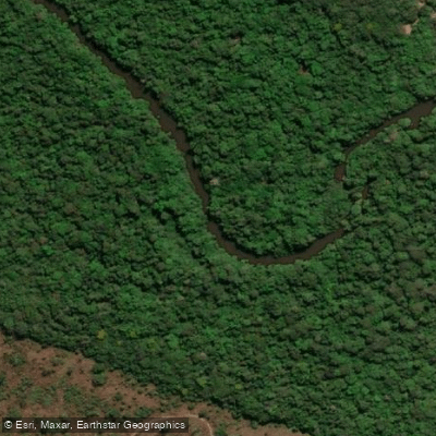
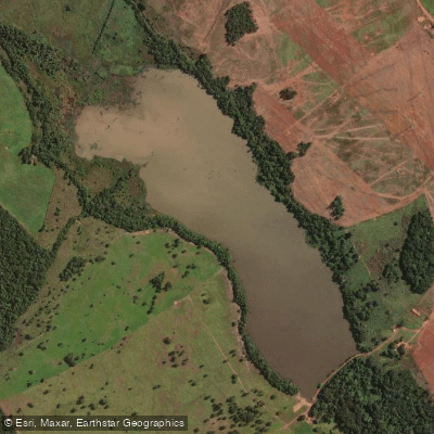
The Rio Santo Antônio is a river in the state of Tocantins in central Brazil. For paddlers, several specific access points and routes have been identified, providing options for trips of varying lengths. These include routes from Ponta d'Água to Santa União, covering approximately 226 kilometers with an elevation change of 397 meters, and from Vila Quixaba to Boa Vista, a shorter trip of about 44 kilometers with 58 meters of elevation change. Other documented routes are a 16-kilometer section near Caçada and a 69-kilometer stretch from a bridge to Morada do piau. The river's character, based on these route distances and elevation profiles, suggests a mix of longer, more significant journeys and shorter, more accessible day trips. Planning tools and information on access points, water conditions, and land boundaries are available through specific paddling and outdoor applications. These resources can help paddlers uncover necessary facilities such as boat ramps for an outing. The river's setting in the Brazilian interior contributes to its overall aesthetic, flowing through the Tocantins landscape.
Water access, boat ramps & amenities
Learn how to get on Rio Santo Antônio. Uncover great paddling access points, boat ramps, and all the facilities you need for an unforgettable day on the water. Some locations shown may border or include private property. Always check property boundaries and applicable regulations before visiting. PaddleWays's Public & Private Land layer can help you plan your access with confidence.
Paddle smarter with real-time insights
Whether you're en route and conditions shift or you're looking for the best spot based on current flows, we enable you to make informed decisions on the fly.







Tocantins licenses and regulations
No licenses or regulations available for Tocantins.
Find Places to Paddle

Over 400,000 Places to Paddle
Every user gets free access to launch points, boat ramps, and public property parcels.


Water and weather conditions (10 day forecast)
See the best times to paddle Rio Santo Antônio and check the forecast before you go.
Figueirópolis
All Flow Stations
Explore Tocantins waters
Top paddling waters
No waters available right now.
Popular Cities
Loading popular cities...
Explore near Rio Santo Antônio
More in Tocantins

Smarter Paddling Starts in the App.
Paddleways gives you everything you need to plan smarter, paddle better, and own every trip from first launch to takeout.