Nicola River
Nicola River
- Boat Ramps
- 0
- Access Points
- 0
- Campsites
- 1
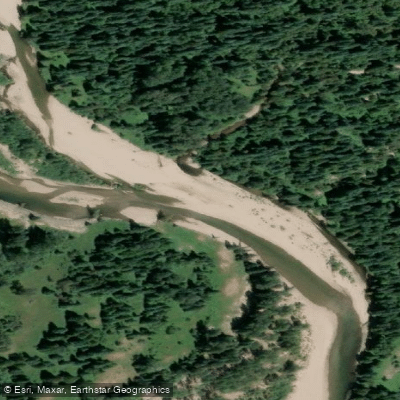
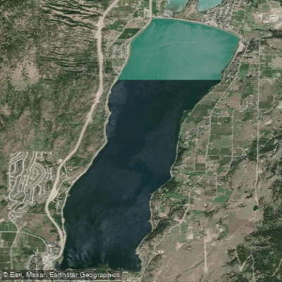
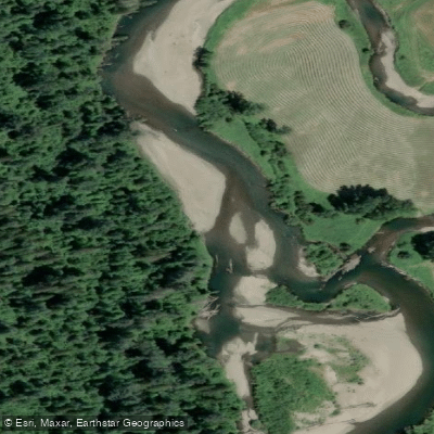
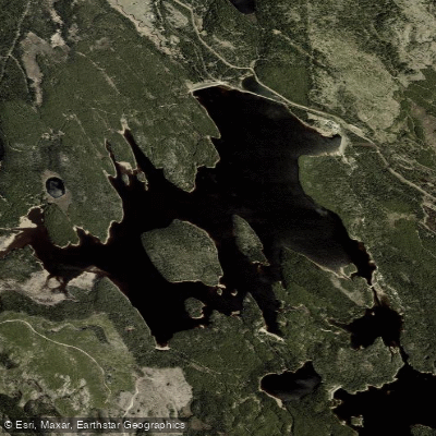
The Nicola River in British Columbia flows through the Nicola Valley, draining into and out of Nicola Lake before eventually joining the Thompson River near Spences Bridge. The river is divided into four distinct sections, rated from Grade 1 to Grade 3, offering a range of experiences for paddlers of varying skill levels.
The upper sections near Merritt tend to be easier, while the more significant whitewater is found below the Anthony Joe (Chief Joe Anthony) Bridge. The most demanding stretch runs through Red Rock Canyon, which contains the biggest whitewater on the river. Below the canyon, continuous Class II and II+ rapids extend down toward Spences Bridge and the Thompson River confluence. Good surfing waves are also found along the whitewater sections.
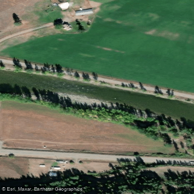
Put-in locations include Voght Street in Merritt, the N'Kwala Forest Service Recreation Site, the Chief Joe Anthony Bridge, and Shakan Campground. The N'Kwala Forest Service Recreation Site is a commonly used camping spot along the route. There is also a large informal campsite further downstream that is visible from the road and frequently used as a take-out from the canyon section and a put-in for the lower run, though it lacks facilities such as an outhouse.
Water levels are an important planning consideration. The lower whitewater sections remain runnable at flows down into the low teens (cubic metres per second), but become too low below approximately 10 m³/s (gauge level around 0.6). A flow around 20 m³/s (level 0.8) is considered a good level. Water levels can be monitored at the "Nicola near Merritt" gauge using the discharge parameter. Some sections can dry up considerably at lower flows. The river is typically paddled during May and into the summer months, with May and July long weekends being popular times for organized club trips.
The river corridor passes through a valley with notable fishing opportunities for steelhead, Dolly Varden, and salmon. Fishing regulations for the Nicola River include no fishing upstream of Nicola Lake from January 1 to June 30, and no fishing downstream of Nicola Lake from March 1 to September 30, which paddlers should be aware of if combining a fishing trip with their paddle.
Water access, boat ramps & amenities
Learn how to get on Nicola River. Uncover great paddling access points, boat ramps, and all the facilities you need for an unforgettable day on the water. Some locations shown may border or include private property. Always check property boundaries and applicable regulations before visiting. PaddleWays's Public & Private Land layer can help you plan your access with confidence.
Paddle smarter with real-time insights
Whether you're en route and conditions shift or you're looking for the best spot based on current flows, we enable you to make informed decisions on the fly.







Bc licenses and regulations
No licenses or regulations available for Bc.
Find Places to Paddle

Over 400,000 Places to Paddle
Every user gets free access to launch points, boat ramps, and public property parcels.


Water and weather conditions (10 day forecast)
See the best times to paddle Nicola River and check the forecast before you go.
NICOLA RIVER AT OUTLET OF DOUGLAS LAKE
All Flow Stations
Explore Bc waters
Top paddling waters
No waters available right now.
Popular Cities
Loading popular cities...
Explore near Nicola River

Smarter Paddling Starts in the App.
Paddleways gives you everything you need to plan smarter, paddle better, and own every trip from first launch to takeout.