Okanagan Lake
Okanagan Lake
- Boat Ramps
- 18
- Access Points
- 0
- Campsites
- 7
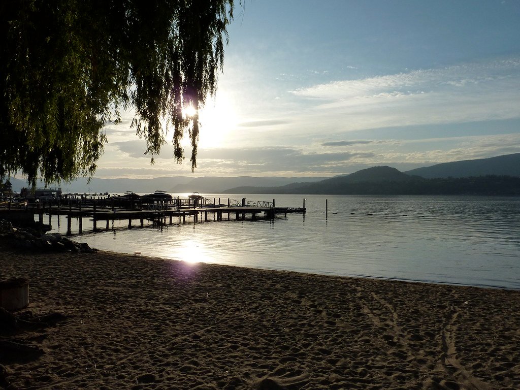
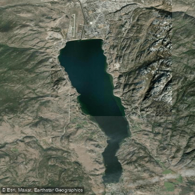
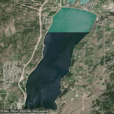
Okanagan Lake stretches approximately 100 kilometres through the Okanagan Valley of British Columbia, running from just south of Vernon in the north to Penticton in the south. The lake is wide enough to generate significant wave action and whitecaps under wind, making it a serious undertaking for paddlers who venture far from shore.
The full length of the lake can be paddled, with the southern section between Penticton and Kelowna offering the greatest concentration of campsites and launch points. Along the eastern shore, Okanagan Mountain Park provides 33 kilometres of undeveloped shoreline with six marine campgrounds, secluded bays, and sandy beaches accessible only by water. BC Parks recommends using Canadian Hydrographic Chart 3052 for navigation on the lake, available through offices in Kelowna (250-765-3995) and Penticton (250-492-2628).
In the Kelowna area, the Kelowna Paddle Trail offers a 27-kilometre marked route running from McKinley Beach in the north to Bertram Creek Regional Park in the south, passing more than 20 beaches, waterfront parks, and bird sanctuaries along the way. Launch points in Kelowna include Rotary Beach, Tugboat Bay at Waterfront Park, and Sarsons Beach. Bear Creek Provincial Park on the west side of the lake near West Kelowna also provides lakeside camping and beach access. Sun-Oka Beach, just south of Summerland, offers additional access with views down the lake.
Wind is a significant hazard. Afternoon winds are common and can build quickly, producing choppy conditions and whitecaps that challenge small craft. Thunderstorms can develop rapidly, particularly from the west, and paddlers caught mid-crossing face real exposure. The lake is heavily used by motorized watercraft including powerboats and Sea-Doos, particularly in summer, so paddlers should remain alert to boat traffic and stay close to shore where possible.
Kayak, canoe, and stand-up paddleboard rentals are available at multiple locations around the lake, including Rotary Beach and Tugboat Bay in Kelowna, Bear Creek Provincial Park, and Sun-Oka Beach Provincial Park. The Okanagan Valley's warm climate makes summer the primary paddling season, with the lake serving as a major recreational destination during those months.
Water access, boat ramps & amenities
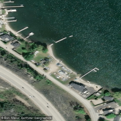
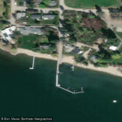
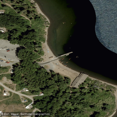
Learn how to get on Okanagan Lake. Uncover great paddling access points, boat ramps, and all the facilities you need for an unforgettable day on the water. Some locations shown may border or include private property. Always check property boundaries and applicable regulations before visiting. PaddleWays's Public & Private Land layer can help you plan your access with confidence.
British Columbia Boat Ramp
British Columbia Boat Ramp
British Columbia Boat Ramp
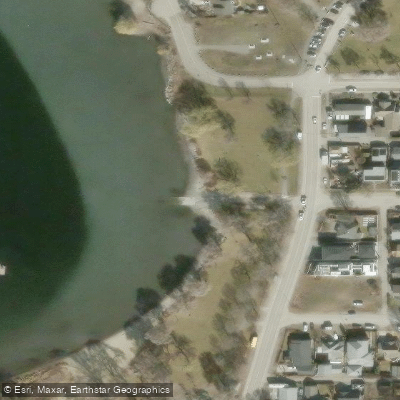
British Columbia Boat Ramp
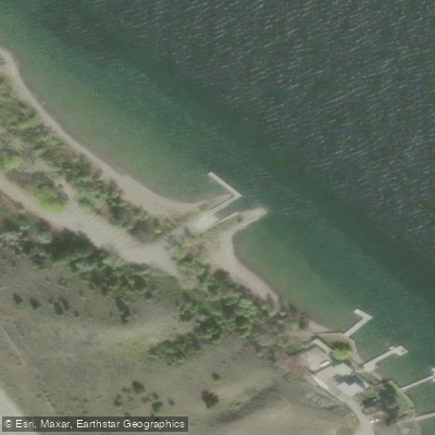
British Columbia Boat Ramp
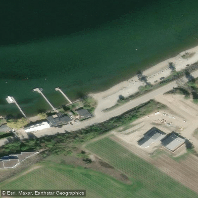
Cedar Creek Boat Launch
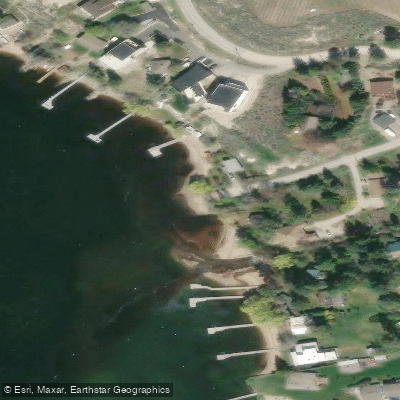
Indian Rock Boat Launch
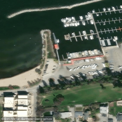
Marina Way Beach
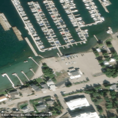
Paddlewheel Park Boat Launch
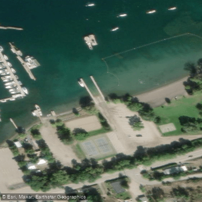
Paddlewheel Park Boat Launch
Paddle smarter with real-time insights
Whether you're en route and conditions shift or you're looking for the best spot based on current flows, we enable you to make informed decisions on the fly.







Bc licenses and regulations
No licenses or regulations available for Bc.
Find Places to Paddle

Over 400,000 Places to Paddle
Every user gets free access to launch points, boat ramps, and public property parcels.


Water and weather conditions (10 day forecast)
See the best times to paddle Okanagan Lake and check the forecast before you go.
OKANAGAN RIVER AT PENTICTON
All Flow Stations
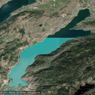

Explore Bc waters
Top paddling waters
No waters available right now.
Popular Cities
Loading popular cities...
Explore near Okanagan Lake
Access points
- British Columbia Boat Ramp
- British Columbia Boat Ramp
- British Columbia Boat Ramp
- British Columbia Boat Ramp
- British Columbia Boat Ramp
- Cedar Creek Boat Launch
- Indian Rock Boat Launch
- Marina Way Beach
- Paddlewheel Park Boat Launch
- Paddlewheel Park Boat Launch
- Penticton Yacht Club and Marina
- Soorimpt Boat Ramp
- All 27 spots
Nearby waters
More in Bc

Smarter Paddling Starts in the App.
Paddleways gives you everything you need to plan smarter, paddle better, and own every trip from first launch to takeout.