Saglek Bay
- Saltwater
- Bay
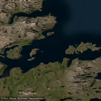
Saglek Bay
- Saltwater
- Bay
- Sq. miles
- 74
- Boat Ramps
- 0
- Access Points
- 0
- Campsites
- 0
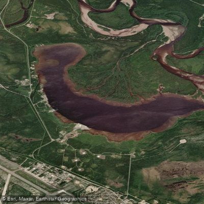
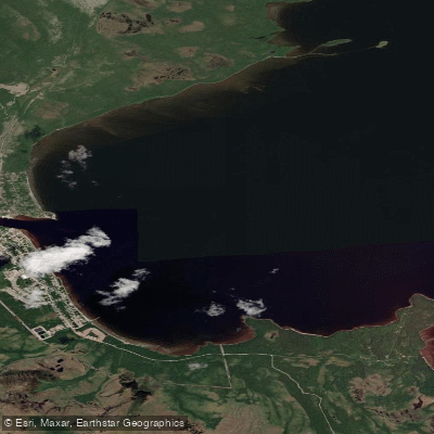
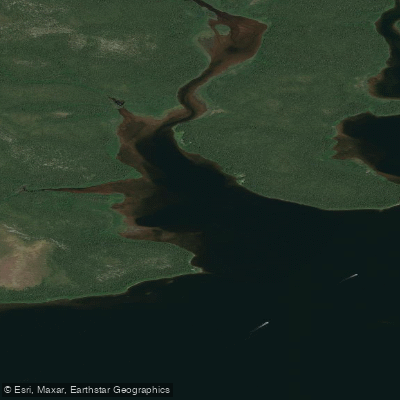
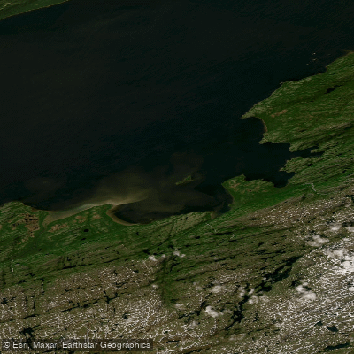
Saglek Bay is a remote, exposed coastal bay on the northern Labrador Sea, forming the southern boundary of Torngat Mountains National Park. It is a primary access point for the park, with a small airstrip on its shores from which visitors are transferred by Zodiac boat to the Torngat Mountains Base Camp at St. John’s Harbour, a journey of about 10 kilometres up the coast. The bay is characterized by its dramatic, ancient topography, being part of the Arctic Cordillera mountain range, and features rocky shores and channels. The area is profoundly remote, with no roads or public transport; access is exclusively via expensive charter flights from Happy Valley-Goose Bay to the Saglek airstrip, typically operating from mid-July to early September. Paddlers must be prepared for the open, rough Atlantic waves of the Labrador Sea, which can be significant, and for a complete absence of facilities or amenities. The region has a high concentration of polar bears, necessitating that all excursions, including paddling, be conducted with armed Inuit bear guards for safety. The bay provides access to significant cultural sites, including Sallikuluk, an island with a 5,000-year Inuit history featuring tent rings, sod houses, and a sacred burial ground, and the nearby Hebron Mission National Historic Site. Water temperatures remain cold year-round due to the high-latitude marine environment. The overall experience is one of extreme wilderness, requiring self-sufficiency, careful planning for bear safety, and an acceptance that weather and bear activity dictate all travel plans.
Water access, boat ramps & amenities
Learn how to get on Saglek Bay. Uncover great paddling access points, boat ramps, and all the facilities you need for an unforgettable day on the water. Some locations shown may border or include private property. Always check property boundaries and applicable regulations before visiting. PaddleWays's Public & Private Land layer can help you plan your access with confidence.
Paddle smarter with real-time insights
Whether you're en route and conditions shift or you're looking for the best spot based on current flows, we enable you to make informed decisions on the fly.







Nl licenses and regulations
No licenses or regulations available for Nl.
Find Places to Paddle

Over 400,000 Places to Paddle
Every user gets free access to launch points, boat ramps, and public property parcels.


Tides, wind & water conditions (10 day forecast)
On open water, wind and tide matter as much as the weather. See the best times to paddle Saglek Bay and check the marine forecast before you launch.
Loading tide predictions…
Paddling near Saglek Bay
Explore Nl waters
Top paddling waters
No waters available right now.
Popular Cities
Loading popular cities...
Explore near Saglek Bay

Smarter Paddling Starts in the App.
Paddleways gives you everything you need to plan smarter, paddle better, and own every trip from first launch to takeout.