Saglek Fiord
- Saltwater
- Bay
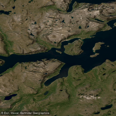
Saglek Fiord
- Saltwater
- Bay
- Sq. miles
- 35
- Boat Ramps
- 0
- Access Points
- 0
- Campsites
- 0
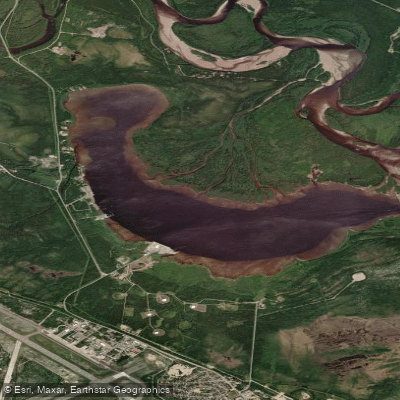
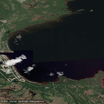
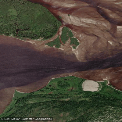
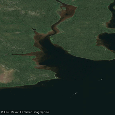
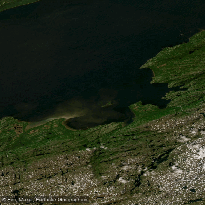
Saglek Fiord is a long, narrow saltwater inlet located in the remote Torngat Mountains National Park of northern Labrador. It is the southern boundary of the park and is characterized by steep-sided, branching fjords that extend approximately 36 miles inland from Saglek Bay, with the bay's mouth being about 13 miles wide. The fiord's geography is dramatic and largely inhospitable, featuring a series of branching arms. Access for paddlers is extremely remote, typically requiring a multi-day boat journey from the community of Nain or transport via helicopter from the Torngat Mountains Base Camp and Research Station located in the area. A specific launch point for backcountry hikers, which also serves paddlers, is the mouth of Nakvak Brook (Pitukkuk) on the fiord. This area is a traditional Inuit travel route linking Nunavik and Nunatsiavut.
The fiord is exposed to the open Labrador Sea, leading to significant wind exposure and fetch. Paddlers must be prepared for cold water temperatures year-round and rapidly changing conditions. The area is a site of deep historical and cultural significance, with numerous documented archaeological sites, including important Inuit habitation sites on islands within the adjoining Saglek Bay, such as Rose Island. The region is co-managed by Parks Canada and the Nunatsiavut Government, and visitors must register for backcountry travel. The presence of Canadian Forces Station Saglek, a radar base, indicates there may be restricted zones or occasional vessel traffic. The overall paddling experience is one of profound wilderness and isolation, suitable only for highly experienced, self-sufficient expeditions prepared for Arctic conditions, with no on-water facilities or amenities.
Water access, boat ramps & amenities
Learn how to get on Saglek Fiord. Uncover great paddling access points, boat ramps, and all the facilities you need for an unforgettable day on the water. Some locations shown may border or include private property. Always check property boundaries and applicable regulations before visiting. PaddleWays's Public & Private Land layer can help you plan your access with confidence.
Paddle smarter with real-time insights
Whether you're en route and conditions shift or you're looking for the best spot based on current flows, we enable you to make informed decisions on the fly.







Nl licenses and regulations
No licenses or regulations available for Nl.
Find Places to Paddle

Over 400,000 Places to Paddle
Every user gets free access to launch points, boat ramps, and public property parcels.


Tides, wind & water conditions (10 day forecast)
On open water, wind and tide matter as much as the weather. See the best times to paddle Saglek Fiord and check the marine forecast before you launch.
Loading tide predictions…
Paddling near Saglek Fiord
Explore Nl waters
Top paddling waters
No waters available right now.
Popular Cities
Loading popular cities...
Explore near Saglek Fiord

Smarter Paddling Starts in the App.
Paddleways gives you everything you need to plan smarter, paddle better, and own every trip from first launch to takeout.