Brock River
Brock River
- Boat Ramps
- 0
- Access Points
- 0
- Campsites
- 0
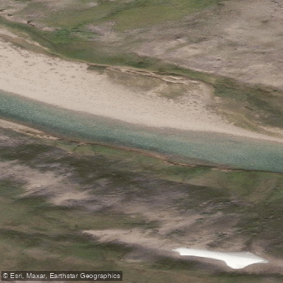
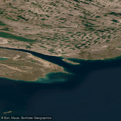
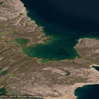
The Brock River flows through Tuktut Nogait National Park in the Western Arctic of the Northwest Territories, offering one of Canada's more demanding and remote wilderness paddling experiences. The river is characterized by dramatic canyon sections that have been carved through the landscape over geological time, with steep walls defining the most striking stretches of the route.
Whitewater on the Brock River ranges from class I to class III, making it suitable for paddlers with solid moving-water skills. The river is commonly accessed as part of a longer multi-day route, with one documented approach beginning at Nunavut Lake via charter flight from Norman Wells, continuing down the Roscoe River before joining the Brock. Exit options include the Brock delta or a pickup near Rat Lake Road near Paulatuk. The full route incorporating the Roscoe River, Brock River, First Creek, and Hornaday River covers approximately 250 kilometres and has been completed in around 13 days of travel time.
Paddlers should be prepared for extreme remoteness throughout the journey. Hazards include sporadic and unpredictable water levels, gale-force winds, and the possibility of encountering snow even in mid-summer. The canyon sections feature steep walls that can complicate portaging and route-finding. Sections of First Creek involve extensive portaging through difficult terrain, including eroded creek beds, muddy channels, backed-up lakes, and tussock fields. Wildlife encounters, including bears, are a real consideration in this environment.
Mid-summer is the documented paddling season, though conditions remain genuinely arctic even then. Packrafts have been used successfully on this route given the combination of paddling and extensive overland travel required. Those planning a trip focused primarily on the river itself may wish to fly directly to the Brock source lakes to avoid the more arduous Roscoe River approach, then paddle the canyon sections through to the delta. The Brock River Canyon is the scenic and logistical centrepiece of any trip here, and the combination of technical whitewater, towering canyon walls, and complete wilderness isolation defines the character of paddling this river.
Water access, boat ramps & amenities
Learn how to get on Brock River. Uncover great paddling access points, boat ramps, and all the facilities you need for an unforgettable day on the water. Some locations shown may border or include private property. Always check property boundaries and applicable regulations before visiting. PaddleWays's Public & Private Land layer can help you plan your access with confidence.
Paddle smarter with real-time insights
Whether you're en route and conditions shift or you're looking for the best spot based on current flows, we enable you to make informed decisions on the fly.







Nt licenses and regulations
No licenses or regulations available for Nt.
Find Places to Paddle

Over 400,000 Places to Paddle
Every user gets free access to launch points, boat ramps, and public property parcels.


Water and weather conditions (10 day forecast)
See the best times to paddle Brock River and check the forecast before you go.
No forecast data available.
Explore Nt waters
Top paddling waters
No waters available right now.
Popular Cities
Loading popular cities...
Explore near Brock River
More in Nt

Smarter Paddling Starts in the App.
Paddleways gives you everything you need to plan smarter, paddle better, and own every trip from first launch to takeout.