Paddling in Northwest Territories
- Lakes
- 2,087
- Rivers
- 629
- Access
- 0
- Boat Ramps
- 2
- Shops
- 0
The Northwest Territories is canoe country in the most elemental sense — a place where rivers were the roads long before roads existed, and where that's still largely true.
Spanning the boreal forests, the Mackenzie Mountains, and the open tundra of the Barren Lands, the NWT holds more navigable wilderness waterways than most paddlers will see in a lifetime. The scale is genuinely hard to absorb until you're on the water.
The South Nahanni is the name that pulls people here.
Running 540 kilometres through the Dehcho and Sahtu regions, it carries paddlers past Virginia Falls — nearly twice the height of Niagara — through Canada's deepest river canyons, past tufa mounds, sandstone hoodoos, and the 32°C Kraus Hot Springs.
Intermediate canoeists will find their hands full at Hell's Gate and the Rock Gardens; the river grades from flatwater to Class IV. It was the first UNESCO World Heritage Site, and it earns the designation on the water.
Access is from Fort Simpson or Nahanni Butte, and trips typically run one to three weeks. The Mackenzie Mountains hold more than the Nahanni.
The Keele River flows roughly 360 kilometres from the Natla confluence through the mountains of Nǫ̀htsı̨ı̨choh National Park Reserve to the Mackenzie near Tulita — fast, boisterous water with no portages, turquoise and cold, accessible by air from Norman Wells.
The Natla itself is a step up: long Class II–III stretches that demand real northern river experience. Drysuits are mandatory, not optional. East of the mountains, the character of the territory shifts completely.
The Barren Lands — glacial eskers, rock-ribbed hills, treeless tundra — carry rivers like the Horton, which cuts 600 kilometres from near Great Bear Lake to the Arctic coast at Franklin Bay, through limestone canyons and the eerie Smoking Hills.
Access is by charter from Inuvik. Further east, the Coppermine and Thelon move through country associated with Chipewyan and Caribou Inuit history. These are long, committing trips where self-sufficiency isn't a philosophy, it's a requirement.
For paddlers based in Yellowknife, the Ingraham Trail canoe routes offer a different entry point — the Cameron River corridor and the lakes along the trail give newer paddlers a taste of genuine northern wilderness without the full expedition commitment.
Great Slave Lake's East Arm, with its clear water and stark red cliffs, rewards those willing to read the weather and respect open-water crossings.
The season runs roughly June through August, with the aurora returning to the sky by late August as the midnight sun retreats. A Northwest Territories fishing licence is required and available online.
The rivers here don't forgive poor planning — but for paddlers who show up prepared, the NWT is as serious and as rewarding as the sport gets.
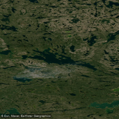
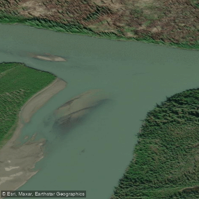
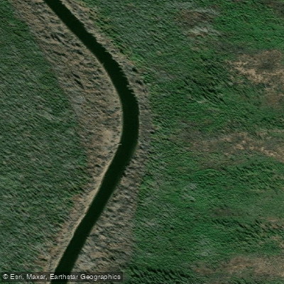
Top waters to paddle near Northwest Territories
Paddle smarter with real-time insights
Whether you're en route and conditions shift or you're looking for the best spot based on current flows, we enable you to make informed decisions on the fly.







Northwest Territories licenses and regulations
Explore Northwest Territories waters
Top paddling waters
Popular Cities
Loading popular cities...

Smarter Paddling Starts in the App.
Paddleways gives you everything you need to plan smarter, paddle better, and own every trip from first launch to takeout.