Castel Bay
- Saltwater
- Bay
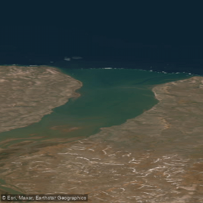
Castel Bay
- Saltwater
- Bay
- Sq. miles
- 17
- Boat Ramps
- 0
- Access Points
- 0
- Campsites
- 0
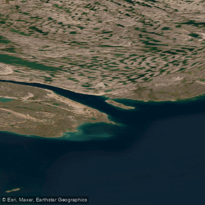
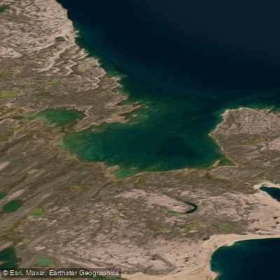
Castel Bay is a coastal bay on Banks Island within Aulavik National Park in the Inuvialuit Settlement Region. It is a remote, high-Arctic saltwater feature located on the south side of M'Clure Strait. The bay is a designated aircraft landing area within the park, providing a primary access point for paddlers arriving by air charter. The Thomsen River, a notable paddling river within the park, flows into Castel Bay, and the lower river and bay area form a significant bird sanctuary established in 1961. This area is a concentration point for moulting birds, particularly Brant geese, with numbers that can reach up to 5,000. The mouth of Castel Bay is characterized by a sand or gravel bar. The surrounding waters are brackish, and the area is known for fish species like the Fourhorn Sculpin. Paddling in this region is typically conducted via canoe, with survey work historically occurring between June and August. The experience is defined by extreme remoteness within a national park setting, requiring careful logistical planning and adherence to park regulations. There are no developed facilities, amenities, or specific water temperature data for paddlers. The primary considerations for trip planning involve coordinating air access to the designated landing area, understanding the protected status of the bird sanctuary, and preparing for a wilderness expedition in a fragile Arctic environment.
Water access, boat ramps & amenities
Learn how to get on Castel Bay. Uncover great paddling access points, boat ramps, and all the facilities you need for an unforgettable day on the water. Some locations shown may border or include private property. Always check property boundaries and applicable regulations before visiting. PaddleWays's Public & Private Land layer can help you plan your access with confidence.
Paddle smarter with real-time insights
Whether you're en route and conditions shift or you're looking for the best spot based on current flows, we enable you to make informed decisions on the fly.







Nt licenses and regulations
No licenses or regulations available for Nt.
Find Places to Paddle

Over 400,000 Places to Paddle
Every user gets free access to launch points, boat ramps, and public property parcels.


Tides, wind & water conditions (10 day forecast)
On open water, wind and tide matter as much as the weather. See the best times to paddle Castel Bay and check the marine forecast before you launch.
Loading tide predictions…
Explore Nt waters
Top paddling waters
No waters available right now.
Popular Cities
Loading popular cities...
Explore near Castel Bay
More in Nt

Smarter Paddling Starts in the App.
Paddleways gives you everything you need to plan smarter, paddle better, and own every trip from first launch to takeout.