Hornaday River
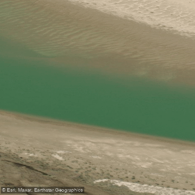
Hornaday River
- Boat Ramps
- 0
- Access Points
- 0
- Campsites
- 0
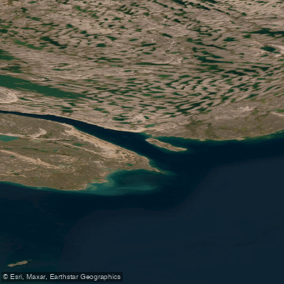
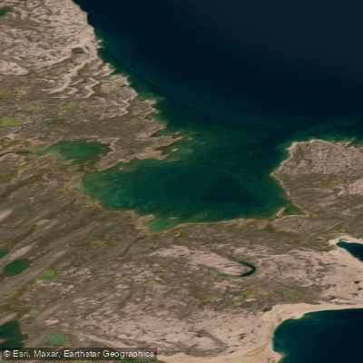
The Hornaday River flows approximately 190 km from its source in the western Kitikmeot Region of Nunavut northwest through Tuktut Nogait National Park to the Arctic Ocean, reaching salt water 14 km east of the Inuvialuit community of Paulatuk. The standard canoe route covers 145 to 185 km depending on approach and typically takes 8 to 12 days to complete. The trip is almost entirely within Tuktut Nogait National Park, which requires a full permitting process before travel. A Parks Canada river guide for the Hornaday is available from the Inuvik office and is strongly recommended for trip planning.
The upper river meanders as a wide, gentle current through open barrenlands tundra, with difficulty suitable for paddlers with solid wilderness camping skills but limited whitewater experience. After roughly 100 km of travel, canyon walls begin to appear. The Little Hornaday tributary demands confident Class III boat handling. Below Uyarsivik Lake, the river drops into three separate canyon sections spanning approximately 45 km of Class III–IV whitewater, including one Class V rapid, culminating in the 21-metre La Roncière Falls. These lower canyons are not navigable by open canoe. In 1999, a team of kayakers completed the first descent of the lower canyons, running every rapid except La Roncière Falls. For canoe groups, most parties budget several days at the end of the trip to hike along the canyon rim, where walking across open tundra offers unobstructed views into the gorge. The canyon walls reach 170 m in height. Parks Canada maintains a cabin at Uyarsivik Lake where canoes can be dry-docked before the canyon hiking portion of the trip.
The upper river can be quite shallow, making an early-season start advisable to avoid low water. The best paddling window is July. Paddlers should be prepared for significant temperature extremes, including heat reaching 32°C as well as snow. Common access involves a charter flight to Canoe Lake or another suitable put-in near the headwaters, with commercial flights available out of Paulatuk at the trip's end.
Wildlife viewing is a notable feature of the route. The park is home to the Bluenose Caribou Herd, musk ox, grizzly bears, wolverines, peregrine falcons, rough-legged hawks, and diverse bird life. The park sits entirely north of the Arctic Circle, and the paddling season is short due to ice conditions, with Canoe Lake typically becoming ice-free around early July.
Water access, boat ramps & amenities
Learn how to get on Hornaday River. Uncover great paddling access points, boat ramps, and all the facilities you need for an unforgettable day on the water. Some locations shown may border or include private property. Always check property boundaries and applicable regulations before visiting. PaddleWays's Public & Private Land layer can help you plan your access with confidence.
Paddle smarter with real-time insights
Whether you're en route and conditions shift or you're looking for the best spot based on current flows, we enable you to make informed decisions on the fly.







Nt licenses and regulations
No licenses or regulations available for Nt.
Find Places to Paddle

Over 400,000 Places to Paddle
Every user gets free access to launch points, boat ramps, and public property parcels.


Water and weather conditions (10 day forecast)
See the best times to paddle Hornaday River and check the forecast before you go.
HORNADAY RIVER NEAR THE PARK BOUNDARY
Explore Nt waters
Top paddling waters
No waters available right now.
Popular Cities
Loading popular cities...
Explore near Hornaday River
More in Nt

Smarter Paddling Starts in the App.
Paddleways gives you everything you need to plan smarter, paddle better, and own every trip from first launch to takeout.