Mercy Bay
- Saltwater
- Bay
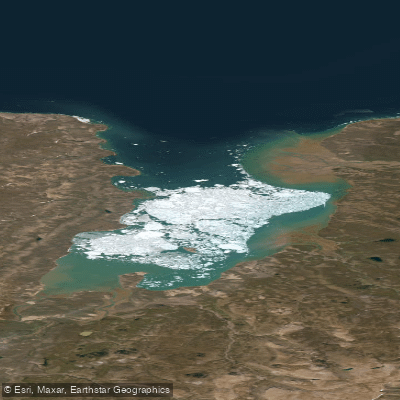
Mercy Bay
- Saltwater
- Bay
- Sq. miles
- 71
- Boat Ramps
- 0
- Access Points
- 0
- Campsites
- 0
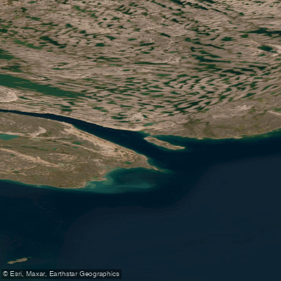
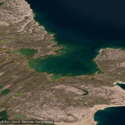
Mercy Bay is a remote, historically significant saltwater bay on the northeast coast of Banks Island, within the Inuvialuit Settlement Region of Canada's Northwest Territories. It forms a southern arm of the M'Clure Strait, cutting approximately 15 kilometers inland. The bay is situated within Aulavik National Park, a region that receives fewer than 30 visitors annually, primarily for canoe trips on the inland Thomsen River. The overall character for paddlers is one of extreme remoteness and exposure to Arctic maritime conditions, with no settlements or facilities on its shores. The only nearby human infrastructure is a polar bear research cabin on the island's north shore, which is infrequently used. Launching and taking out would be a wilderness beach landing, with no developed access points or amenities for paddlers. The coastline near Providence Point and the western shore of the bay holds significant archaeological sites, including McClure's Cache, where supplies and boats were abandoned by the crew of HMS Investigator in 1853, and the graves of three sailors. The wreck of the Investigator itself lies at the bottom of the bay. The landscape immediately southeast of the bay is marked by steep canyons and gorges known as the Badlands, formed by fast-flowing rivers cutting into slate hills. Paddlers must be entirely self-sufficient, prepared for cold water year-round, and aware of the complete absence of support services. The area is subject to permafrost thaw and coastal subsidence, which can alter the shoreline. Given its location in a national park, all activities are subject to Parks Canada regulations, and the area is of profound cultural significance to the Inuvialuit, with a history of use by Copper Inuit and evidence of nomadic human activity dating back thousands of years.
Water access, boat ramps & amenities
Learn how to get on Mercy Bay. Uncover great paddling access points, boat ramps, and all the facilities you need for an unforgettable day on the water. Some locations shown may border or include private property. Always check property boundaries and applicable regulations before visiting. PaddleWays's Public & Private Land layer can help you plan your access with confidence.
Paddle smarter with real-time insights
Whether you're en route and conditions shift or you're looking for the best spot based on current flows, we enable you to make informed decisions on the fly.







Nt licenses and regulations
No licenses or regulations available for Nt.
Find Places to Paddle

Over 400,000 Places to Paddle
Every user gets free access to launch points, boat ramps, and public property parcels.


Tides, wind & water conditions (10 day forecast)
On open water, wind and tide matter as much as the weather. See the best times to paddle Mercy Bay and check the marine forecast before you launch.
Loading tide predictions…
Explore Nt waters
Top paddling waters
No waters available right now.
Popular Cities
Loading popular cities...
Explore near Mercy Bay
More in Nt

Smarter Paddling Starts in the App.
Paddleways gives you everything you need to plan smarter, paddle better, and own every trip from first launch to takeout.