Roscoe River
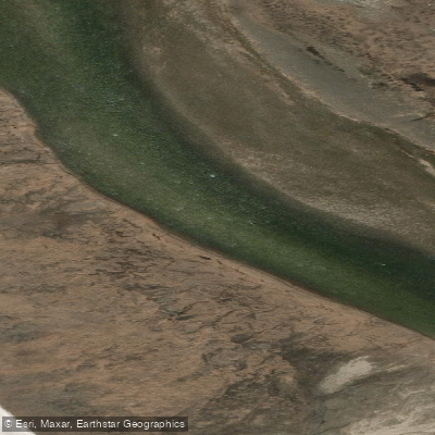
Roscoe River
- Boat Ramps
- 0
- Access Points
- 0
- Campsites
- 0
The Roscoe River is a remote waterway in the Northwest Territories, flowing through the Tuktut Nogait region and typically accessed by charter flight from Norman Wells to the headwater area near "Nunavut Lake." The river runs approximately 90 kilometres before connecting to the Brock River, which in turn links to the First Creek, Hornaday River, and eventually Rat Lake near Paulatuk, where road access provides an exit point via the Rat Lake Road.
The river's defining characteristic is its tendency toward very low water levels, even in mid-summer. What appears on a map as a straightforward paddling stretch frequently becomes an extended exercise in lining and dragging craft over rounded, shallow riverbeds. Paddlers using packrafts have reported that the 90-kilometre paddling distance is largely consumed by these shallow dragging sessions rather than actual floating. Whitewater on the Roscoe is generally rated class I–II when the river is running at sufficient depth. Given the chronic low-water conditions, at least one experienced party has concluded that skipping the Roscoe entirely in favour of flying directly to the Brock River source lakes would make for a more rewarding trip.
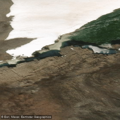
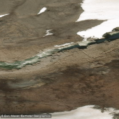
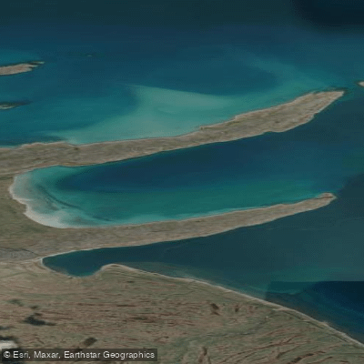
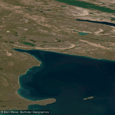
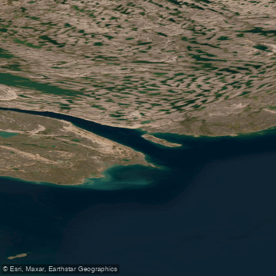
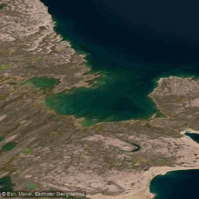
Mid-summer travel in this region still brings the possibility of snow, gale-force winds, and storm risks. The landscape is treeless tundra, described as resembling boreal terrain stripped of its forest cover, with cyan-blue lakes at the headwaters. The area falls within Tuktut Nogait National Park, which adds a layer of remoteness and implies that paddlers should be fully self-sufficient. No facilities or amenities are available along the route.
The extreme isolation of this corridor demands serious logistical preparation, including charter flight arrangements for both access and egress, and contingency planning for weather delays and low water. Drysuits are considered standard equipment given the cold water and air temperatures. The overall character of the Roscoe is one of demanding, low-reward travel compared to the more dramatic canyon sections found downstream on the Brock River, and it is best understood as an approach route rather than a destination in its own right.
Water access, boat ramps & amenities
Learn how to get on Roscoe River. Uncover great paddling access points, boat ramps, and all the facilities you need for an unforgettable day on the water. Some locations shown may border or include private property. Always check property boundaries and applicable regulations before visiting. PaddleWays's Public & Private Land layer can help you plan your access with confidence.
Paddle smarter with real-time insights
Whether you're en route and conditions shift or you're looking for the best spot based on current flows, we enable you to make informed decisions on the fly.







Nt licenses and regulations
No licenses or regulations available for Nt.
Find Places to Paddle

Over 400,000 Places to Paddle
Every user gets free access to launch points, boat ramps, and public property parcels.


Water and weather conditions (10 day forecast)
See the best times to paddle Roscoe River and check the forecast before you go.
No forecast data available.
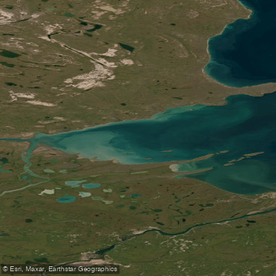
Explore Nt waters
Top paddling waters
No waters available right now.
Popular Cities
Loading popular cities...
Explore near Roscoe River
More in Nt

Smarter Paddling Starts in the App.
Paddleways gives you everything you need to plan smarter, paddle better, and own every trip from first launch to takeout.