Thomsen River
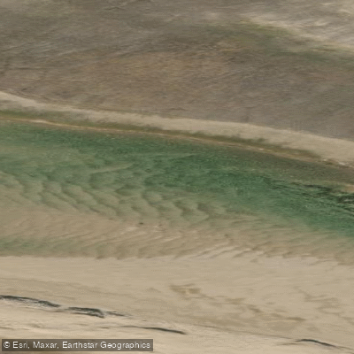
Thomsen River
- Boat Ramps
- 0
- Access Points
- 0
- Campsites
- 0
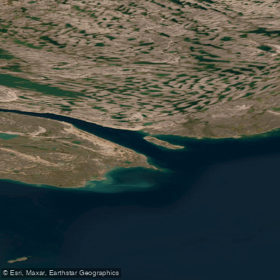
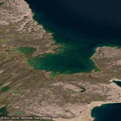
The Thomsen River flows north through Aulavik National Park on Banks Island in Canada's Northwest Territories, making it the northernmost canoeable river in North America. The river runs approximately 199 kilometers through the park, situated at roughly 74° north latitude, and empties into the ice-choked M'Clure Strait in the Arctic Ocean. It is a wide, gently flowing river that meanders between sandbars and bluffs across low, wind-cropped tundra. The current is generally mild, and the river is rated at a canoeing skill level of 2 out of 4, making it accessible to paddlers without advanced whitewater experience. One notable exception is Char Rapids, which is marked as a designated campsite area along the route.
Access is by charter aircraft from Inuvik, NWT, as there are no road connections to Banks Island. The Parks Canada river guide identifies named landing sites including Thomsen River North, Thomsen River South, and South Boundary, along with a series of designated campsites spaced along the route: Char Rapids, Thaw Slump Bend, Green Cabin, Trout Beach, Shoran Lake Trailhead, Baker Creek, Able Creek, Muskox River, Back Channel, and Polar Bear Cabin. A structure called Green Cabin is located near the 73°13'N mark and serves as a reference point on the river.
The paddling season is brief due to the polar desert climate, which receives an average of less than six inches of annual precipitation annually. July is the peak period, when snowmelt raises water levels and the midnight sun provides continuous daylight. Wind is a significant practical concern; paddlers report needing to secure boats and tents with rocks and extra cordage due to the exposed, treeless terrain.
Banks Island hosts the world's highest density of muskoxen, with nearly two-thirds of the global population present. Other wildlife includes Peary caribou, arctic fox, arctic hare, wolves, polar bears, snow geese, snowy owls, and yellow-billed loons. Arctic char can be fished along the route. The Thomsen River Valley contains numerous Inuit archaeological sites, some dating back more than 4,000 years. Aulavik National Park receives fewer than 20 visitors per year, and Parks Canada has reported years with zero outside visitors, making this one of the most remote paddling destinations in the world.
Water access, boat ramps & amenities
Learn how to get on Thomsen River. Uncover great paddling access points, boat ramps, and all the facilities you need for an unforgettable day on the water. Some locations shown may border or include private property. Always check property boundaries and applicable regulations before visiting. PaddleWays's Public & Private Land layer can help you plan your access with confidence.
Paddle smarter with real-time insights
Whether you're en route and conditions shift or you're looking for the best spot based on current flows, we enable you to make informed decisions on the fly.







Nt licenses and regulations
No licenses or regulations available for Nt.
Find Places to Paddle

Over 400,000 Places to Paddle
Every user gets free access to launch points, boat ramps, and public property parcels.


Water and weather conditions (10 day forecast)
See the best times to paddle Thomsen River and check the forecast before you go.
No forecast data available.
Explore Nt waters
Top paddling waters
No waters available right now.
Popular Cities
Loading popular cities...
Explore near Thomsen River
More in Nt

Smarter Paddling Starts in the App.
Paddleways gives you everything you need to plan smarter, paddle better, and own every trip from first launch to takeout.