Andrew Gordon Bay
- Saltwater
- Bay
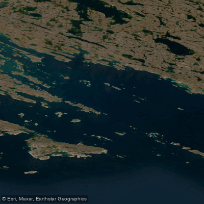
Andrew Gordon Bay
- Saltwater
- Bay
- Sq. miles
- 203
- Boat Ramps
- 0
- Access Points
- 0
- Campsites
- 0
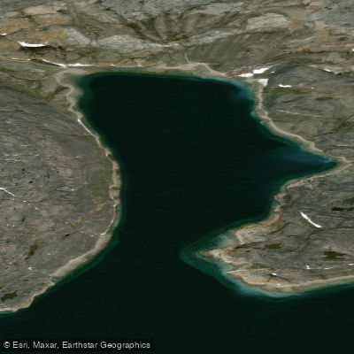
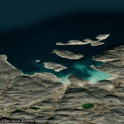
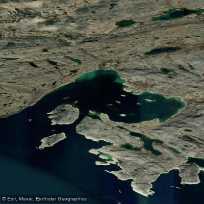
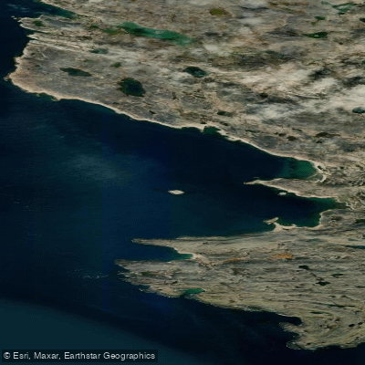
Andrew Gordon Bay is a coastal bay on the south coast of Baffin Island, Nunavut, opening into the Hudson Strait. The bay is characterized by chains of rocky islets and is bounded to the southwest by Pungnertuk Point and Alareak Island, a rocky and mostly low island. The Kimmik Range of mountains extends northwest from the head of the bay, where the Saunders River flows in. This geography creates a dramatic, rugged aesthetic with layered rock formations and mountainous backdrops. The area holds significant cultural heritage, with numerous Tunnit, Thule, and Inuit archaeological sites, and was historically the location of permanent winter camps. A marble quarry within the bay draws local carvers from nearby Cape Dorset.
For paddlers, access is exclusively by boat from Cape Dorset, which is approximately 80 kilometers away across the Hudson Strait. There are no formal launches or facilities; put-ins and take-outs would involve beaching on rocky shorelines. The bay presents significant hazards, most notably strong tide rips. The most violent currents are specifically noted in the passage between Alareak Island and the mainland and in the narrow entrance to Terreoukchuk Bay. These conditions require advanced paddling skills and careful tide planning. The Hudson Strait is known for sudden fog, which can reduce visibility to zero for extended periods. Polar bears are present in the region, necessitating extreme vigilance, appropriate safety gear, and local guidance. The water is cold year-round, typical of the Arctic, and there is no information on water quality issues. The overall paddling experience is one of remote, expedition-level wilderness travel with no amenities, where self-sufficiency and preparedness for severe weather and wildlife encounters are paramount.
Water access, boat ramps & amenities
Learn how to get on Andrew Gordon Bay. Uncover great paddling access points, boat ramps, and all the facilities you need for an unforgettable day on the water. Some locations shown may border or include private property. Always check property boundaries and applicable regulations before visiting. PaddleWays's Public & Private Land layer can help you plan your access with confidence.
Paddle smarter with real-time insights
Whether you're en route and conditions shift or you're looking for the best spot based on current flows, we enable you to make informed decisions on the fly.








Find Places to Paddle

Over 400,000 Places to Paddle
Every user gets free access to launch points, boat ramps, and public property parcels.


Tides, wind & water conditions (10 day forecast)
On open water, wind and tide matter as much as the weather. See the best times to paddle Andrew Gordon Bay and check the marine forecast before you launch.
Loading tide predictions…
Paddling near Andrew Gordon Bay
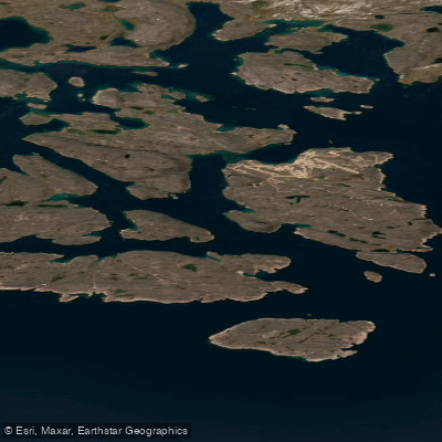
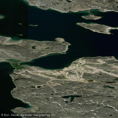
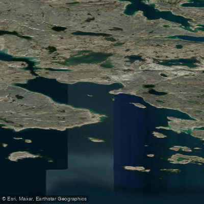
Explore Nu waters
Top paddling waters
No waters available right now.
Popular Cities
Loading popular cities...
Explore near Andrew Gordon Bay

Smarter Paddling Starts in the App.
Paddleways gives you everything you need to plan smarter, paddle better, and own every trip from first launch to takeout.