Shartowitok Bay
- Saltwater
- Bay
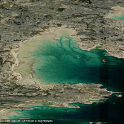
Shartowitok Bay
- Saltwater
- Bay
- Sq. miles
- 0.8
- Boat Ramps
- 0
- Access Points
- 0
- Campsites
- 0
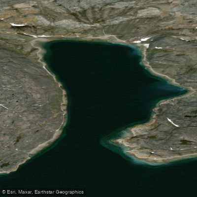
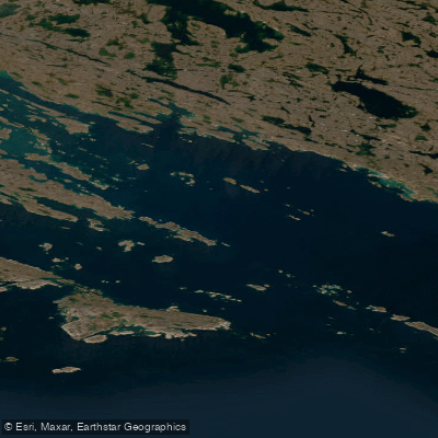
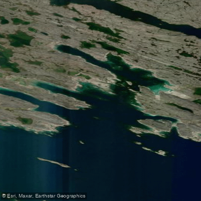
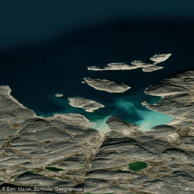
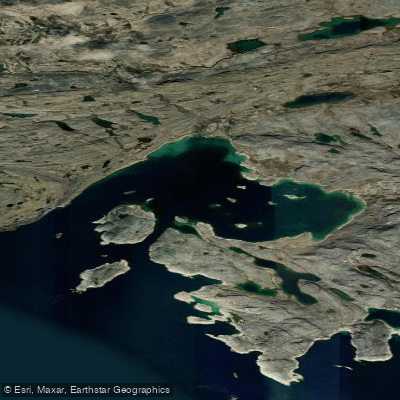
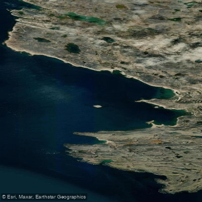
Shartowitok Bay is a coastal bay located on the mainland shore of Nunavut, Canada, within the Hudson Strait region. It is situated to the west of Andrew Gordon Bay. The bay lies in a remote Arctic environment, characterized by its exposure to the open waters of the strait. For paddlers, the primary consideration is the significant tidal influence and exposure typical of this region. The bay is adjacent to Pudla Inlet, which is located approximately four miles to the southwest, north of Iglukjuak Point. The Shemia Islands lie close to the southwest of Shartowitok Bay, offering potential points of interest or sheltered areas for experienced paddlers to explore. There are no launch points, take-outs, or facilities for paddlers, indicating a complete lack of infrastructure. Paddling here is a wilderness expedition requiring total self-sufficiency. The area is exposed to the full fetch of Hudson Strait, meaning winds can generate substantial waves and choppy conditions very quickly. Tidal currents in the strait are strong and must be planned for meticulously. Boat traffic is likely minimal given the remote location, but paddlers must be prepared for crossing any channels between the mainland and the Shemia Islands. Water temperatures will be frigid year-round, with sea ice present for much of the year, limiting the viable paddling season to a short summer window. The aesthetic is one of raw, treeless Arctic coastline. Wildlife may include marine mammals and seabirds. No specific paddling restrictions are noted, but paddlers must adhere to general regulations for traveling in Nunavut's remote areas.
Water access, boat ramps & amenities
Learn how to get on Shartowitok Bay. Uncover great paddling access points, boat ramps, and all the facilities you need for an unforgettable day on the water. Some locations shown may border or include private property. Always check property boundaries and applicable regulations before visiting. PaddleWays's Public & Private Land layer can help you plan your access with confidence.
Paddle smarter with real-time insights
Whether you're en route and conditions shift or you're looking for the best spot based on current flows, we enable you to make informed decisions on the fly.








Find Places to Paddle

Over 400,000 Places to Paddle
Every user gets free access to launch points, boat ramps, and public property parcels.


Tides, wind & water conditions (10 day forecast)
On open water, wind and tide matter as much as the weather. See the best times to paddle Shartowitok Bay and check the marine forecast before you launch.
Loading tide predictions…
Paddling near Shartowitok Bay
Explore Nu waters
Top paddling waters
No waters available right now.
Popular Cities
Loading popular cities...
Explore near Shartowitok Bay

Smarter Paddling Starts in the App.
Paddleways gives you everything you need to plan smarter, paddle better, and own every trip from first launch to takeout.