Paddling in Cape Breton Highlands National Park
- National Park
- Lakes
- 95
- Rivers
- 58
- Access
- 0
- Boat Ramps
- 0
- Shops
- 0
Cape Breton Highlands National Park sits on the northern tip of Cape Breton Island, Nova Scotia, where the Cape Breton Highlands plateau drops sharply to both the Gulf of St. Lawrence on the west and the Atlantic Ocean on the east.
The park's 948 square kilometres hold a landscape shaped by that tension — steep coastal cliffs, forested river canyons, and a handful of lakes and sheltered coves.
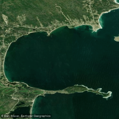
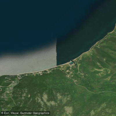
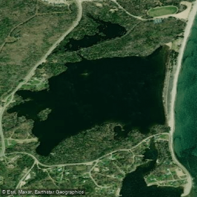
The paddling here is defined less by rivers and more by the meeting of highland terrain and open water. Freshwater Lake, at Ingonish on the eastern side of the park, is the clearest example of the park's unusual geography.
A thin barrier beach is all that separates it from the ocean, and the lake sits right beside Ingonish Beach.
Parks Canada runs a guided paddle program on Freshwater Lake on Saturday afternoons in July and August — participants bring their own gear or arrange rentals locally, and registration is required.
The program focuses on the lake's geology, its beaver and loon populations, and the park's ongoing monitoring of invasive species and lake health.
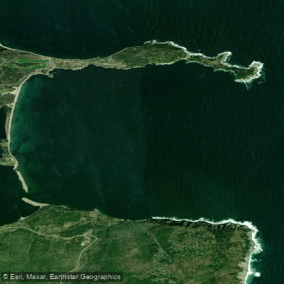
On the western coast, Fishing Cove is the only park campsite accessible from the water, making it the natural anchor for anyone paddling the Gulf of St. Lawrence shoreline inside park boundaries.
Sea kayakers launching from Le Bloc, just inside the western park entrance near Chéticamp, have used Fishing Cove as a first overnight stop on multi-day coastal trips.
The roughly 8 miles between Le Bloc and Fishing Cove runs along a steep, cliff-lined shore with limited bail-out options — conditions that demand careful planning between take-outs.
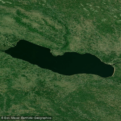
North of Fishing Cove, the High Capes section toward Pleasant Bay is exposed and committing, with a hard shore on the downwind side. Warren Lake is within the park and available for flatwater paddling.
Fishing inside the park requires a National Parks General Fishing Permit and, for Atlantic salmon, a National Parks Salmon License, in addition to a Park Entry Pass. Brook trout and Atlantic salmon fishing is catch-and-release.
Check with Parks Canada for current rules before you go. The park's coastal paddling is not a place to improvise. The Cabot Trail climbs high above the water along much of the western shore, which means road access to the water is scarce and rescues are slow.
Come with the skills the exposure demands, watch the weather off the Gulf, and the coastline will give you something worth the preparation.
Top waters to paddle near Cape Breton Highlands National Park
Water and weather conditions (10 day forecast)
See the best times to paddle Cape Breton Highlands National Park and check the forecast before you go.
No forecast data available.
Paddle smarter with real-time insights
Whether you're en route and conditions shift or you're looking for the best spot based on current flows, we enable you to make informed decisions on the fly.







Paddling near Cape Breton Highlands National Park
Loading...
Gateway towns
Where to base yourself for paddling in Cape Breton Highlands National Park.
- ChéticampNova Scotia
Western park entrance town with lodging, outfitters, and the main visitor services on the Cabot Trail.
- IngonishNova Scotia
Eastern park entrance community with lodging, beaches, and direct access to trails including the Skyline area.
- BaddeckNova Scotia
Main hub town on Cape Breton Island where visitors stock up and orient before driving the Cabot Trail into the park.
Explore Cape Breton Highlands National Park
Top paddling waters
Popular Cities
Loading popular cities...

Smarter Paddling Starts in the App.
Paddleways gives you everything you need to plan smarter, paddle better, and own every trip from first launch to takeout.