Pleasant Bay
- Saltwater
- Bay
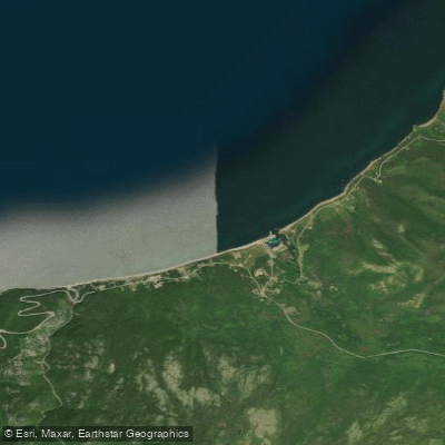
Pleasant Bay
- Saltwater
- Bay
- Sq. miles
- 1
- Boat Ramps
- 0
- Access Points
- 0
- Campsites
- 0
Pleasant Bay is a coastal fishing village located on the Gulf of St. Lawrence along the Cabot Trail in northern Cape Breton, within the Cape Breton Highlands National Park region. The bay opens directly to the Atlantic Ocean, presenting a rugged, steep shoreline typical of the High Capes area. The primary paddling character is that of open coastal sea kayaking, exposed to significant ocean conditions. The waters are known for abundant marine wildlife, including pilot whales, humpback whales, minke whales, seals, and bald eagles. For paddlers, the bay can serve as a launch point for multi-day coastal expeditions or as a refuge. Trip reports indicate it is used as a resupply or alternative camping location when weather prevents travel to more exposed destinations like Pollett's Cove or when rounding the northern capes. A specific mention notes camping behind a dock in Pleasant Bay as a weather contingency. The coastline is dramatic but can be hazardous; one account describes a fiercely steep and hard shore with breaking waves, making landing difficult in surf conditions. The area is subject to strong winds and substantial seas, with forecasts of 2-3 meter (6-8 foot) waves and 25-30 knot winds being a consideration for trip planning. The village itself offers some amenities, including a harbour used by commercial whale watching tours, which indicates the presence of boat traffic. The whale interpretive centre and a Buddhist monastery are noted landmarks in the village. While no specific public launch sites are detailed, the presence of a harbour and dock suggests possible water access. Paddling here requires careful attention to marine forecasts, tides, and surf conditions, with the understanding that the surrounding coastline is remote and exposed.
Water access, boat ramps & amenities
Learn how to get on Pleasant Bay. Uncover great paddling access points, boat ramps, and all the facilities you need for an unforgettable day on the water. Some locations shown may border or include private property. Always check property boundaries and applicable regulations before visiting. PaddleWays's Public & Private Land layer can help you plan your access with confidence.
Paddle smarter with real-time insights
Whether you're en route and conditions shift or you're looking for the best spot based on current flows, we enable you to make informed decisions on the fly.








Find Places to Paddle

Over 400,000 Places to Paddle
Every user gets free access to launch points, boat ramps, and public property parcels.


Tides, wind & water conditions (10 day forecast)
On open water, wind and tide matter as much as the weather. See the best times to paddle Pleasant Bay and check the marine forecast before you launch.
Loading tide predictions…
Paddling near Pleasant Bay
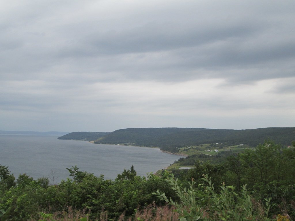
Bras d'Or Lake
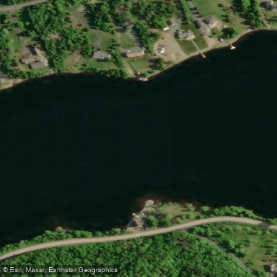
Mira River
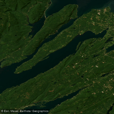
St. Andrews Channel
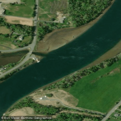
Little Bras d'Or
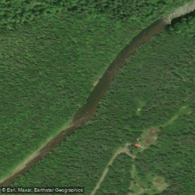
Northeast Margaree River
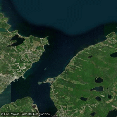
Sydney Harbour
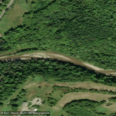
Baddeck River
Indian Brook
Great Bras d'Or
River Denys
Explore Ns waters
Top paddling waters
No waters available right now.
Popular Cities
Loading popular cities...
Explore near Pleasant Bay

Smarter Paddling Starts in the App.
Paddleways gives you everything you need to plan smarter, paddle better, and own every trip from first launch to takeout.